


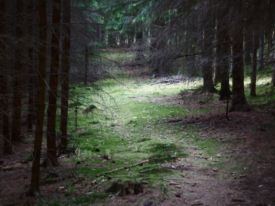
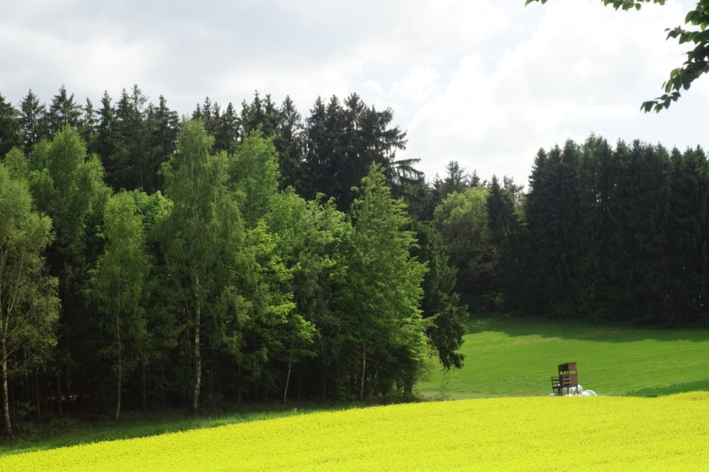
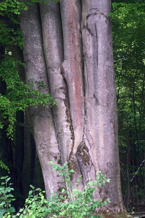
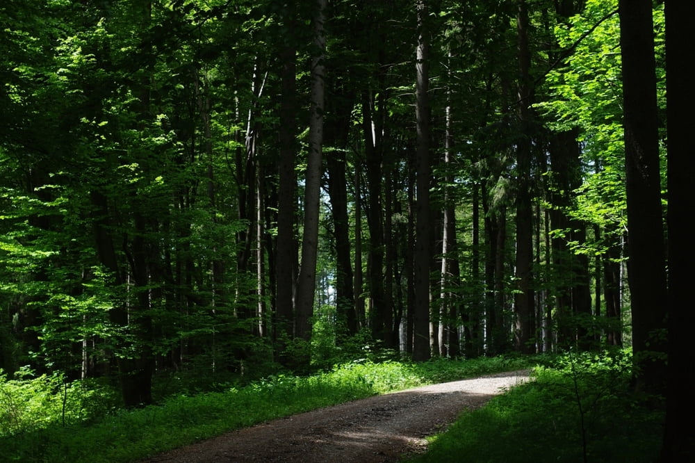
Diese Tour ist gedacht als ruhige Wanderung ohne große Ansprüche. Landschaftlich ist sie sehr nett, führt durch Felder und Mischwald auf gut befestigten Wegen. Nicht so viel Spektakuläres, ein paar tolle Bäume, alte Eichen und Buchen, ein Baum mit 4 Stämmen, (siehe Bild, steht in Wirklichkeit, aber GPS-Tour legt den lieber hin, tja...), nur einfach ruhig und schön, viel Wald und Natur.
Der Weg ist kinderwagentauglich, keine Spielplätze.
Für eine Pause zwischendrin eignet sich der Gasthof "Zur Post" in Eurasburg. In Rohrbach gibt es die Edelgastronomie "Goldener Stern" nicht weit vom Weg. Da wird man aber wohl reservieren müssen und den Geldbeutel vorher passend füllen.
Tour gallery
Tour map and elevation profile
Minimum height 488 m
Maximum height 553 m
More about the tour author

|
wiesmanns |
Comments

Parken irgendwo an der Weiherstraße in Friedberg Rohrbach einfach am Straßenrand.
GPS tracks
Trackpoints-
GPX / Garmin Map Source (gpx) download
-
TCX / Garmin Training Center® (tcx) download
-
CRS / Garmin Training Center® (crs) download
-
Google Earth (kml) download
-
G7ToWin (g7t) download
-
TTQV (trk) download
-
Overlay (ovl) download
-
Fugawi (txt) download
-
Kompass (DAV) Track (tk) download
-
Track data sheet (pdf) download
-
Original file of the author (gpx) download
More about the tour author
|
|
wiesmanns |
Add to my favorites
Remove from my favorites
Edit tags
Open track
My score
Rate