

Schöne Remstaltour durch die schwäbische Toskana.
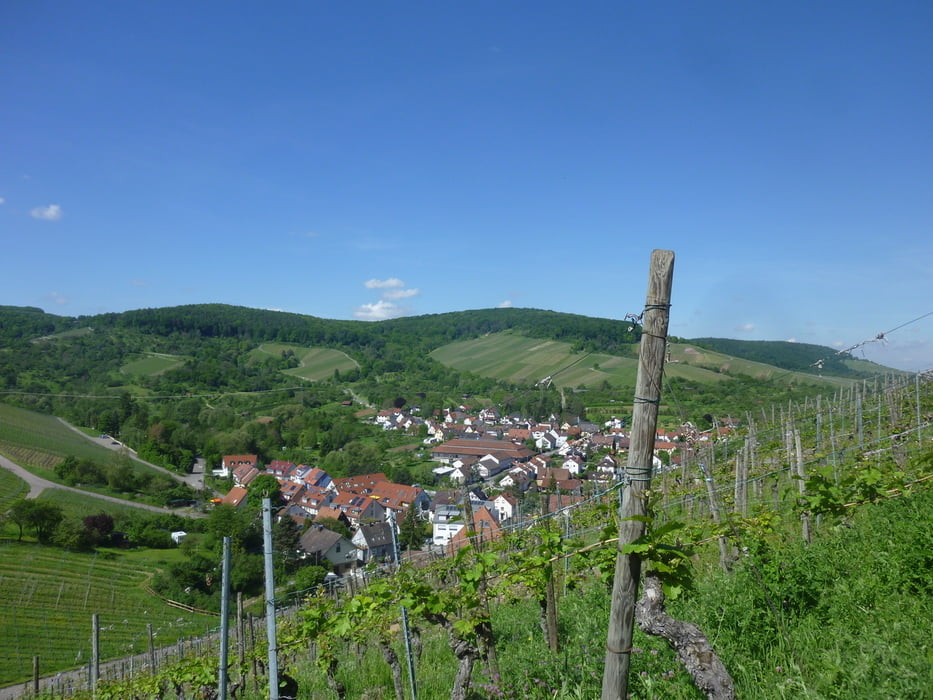
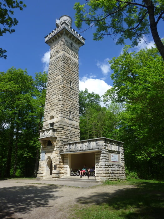
Von Strümpfelbach über die Y-Burg in Stetten geht es durch Weinberge und Streuobstwiesen hoch zum 27 Meter hohen Kernenturm, der eine sehr schöne Aussicht aufs Neckartal und die Fildern bietet
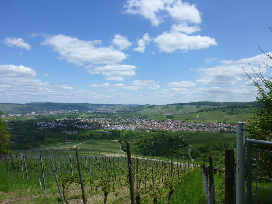
Nach einer zünftigen Brotzeit und einem verdienten Weizenbier oder Apfelschorle kommt man durch den Stettener Wald über Stetten nach Strümpfelbach zum Ausganspunkt unserer Wanderung zurück. Dabei bieten sich immer wieder schöne Ausblicke auf Fellbach, Waiblingen und Weinstadt mit Korber und Kleinheppacher Kopf.
Fazit: Schöne, ruhige Tour zum Entspannen und Genießen.
Tour gallery
Tour map and elevation profile
Minimum height 259 m
Maximum height 548 m
More about the tour author

|
Guddy |
Comments

GPS tracks
Trackpoints-
GPX / Garmin Map Source (gpx) download
-
TCX / Garmin Training Center® (tcx) download
-
CRS / Garmin Training Center® (crs) download
-
Google Earth (kml) download
-
G7ToWin (g7t) download
-
TTQV (trk) download
-
Overlay (ovl) download
-
Fugawi (txt) download
-
Kompass (DAV) Track (tk) download
-
Track data sheet (pdf) download
-
Original file of the author (gpx) download
More about the tour author
|
|
Guddy |
Add to my favorites
Remove from my favorites
Edit tags
Open track
My score
Rate