


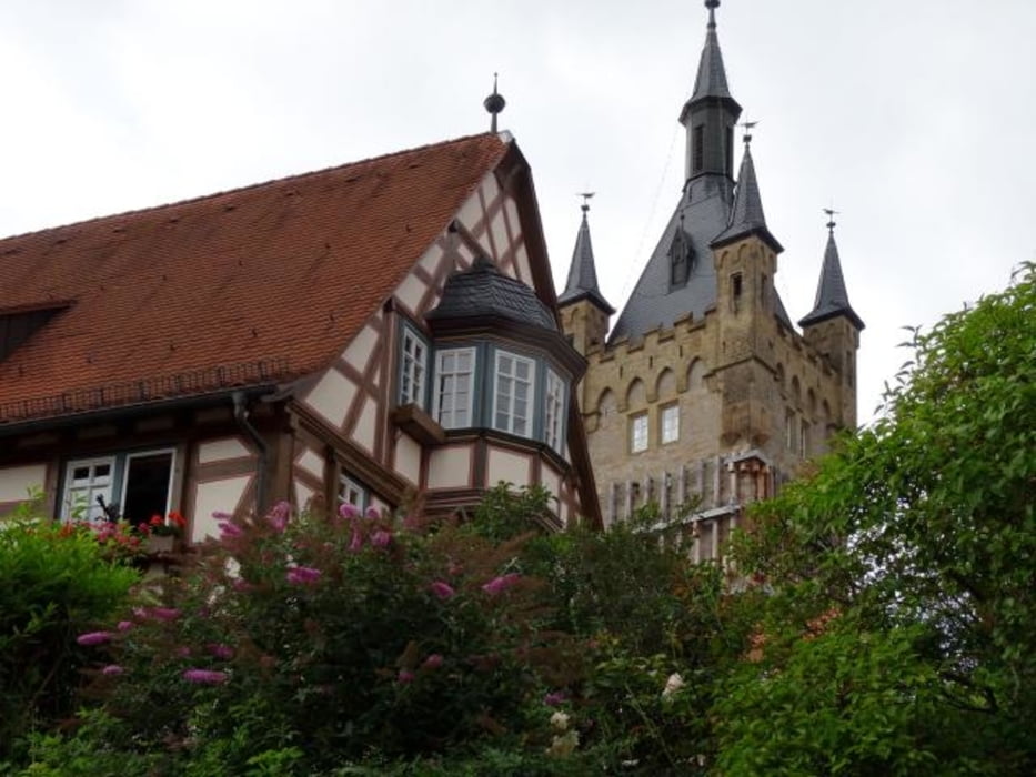
Vierte Etappe unsere Altmühl-Kocher-Tal Tour 2016, am 12.8.2016 von Schwäbisch-Hall/Einkorn nach Bad Wimpfen
Einkorn-Comburg (Besichtigung)-Schwäbisch Hall-Braunsbach-Künzelsau-Forchtenberg (Stadtrundgang)-Neuenstadt/Kocher-Bad Wimpfen (Stadtrundgang).
Leider hat auf dieser Etappe das Wetter nicht mitgespielt und wir haben von der Landschaft nicht viel gesehen (Nebel).
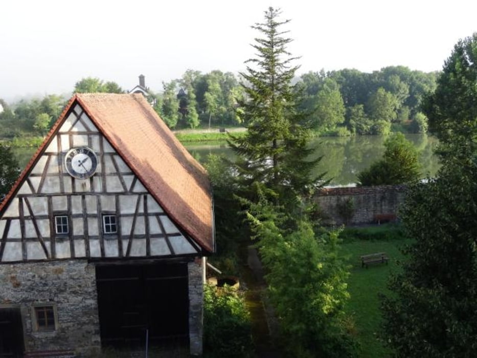
Übernachtung im Kloster Bad Wimpfen (gutes Frühstück)
Tour gallery


Tour map and elevation profile
Minimum height 148 m
Maximum height 514 m
More about the tour author

|
tsx56 |
Comments

GPS tracks
Trackpoints-
GPX / Garmin Map Source (gpx) download
-
TCX / Garmin Training Center® (tcx) download
-
CRS / Garmin Training Center® (crs) download
-
Google Earth (kml) download
-
G7ToWin (g7t) download
-
TTQV (trk) download
-
Overlay (ovl) download
-
Fugawi (txt) download
-
Kompass (DAV) Track (tk) download
-
Track data sheet (pdf) download
-
Original file of the author (gpx) download
More about the tour author
|
|
tsx56 |
Add to my favorites
Remove from my favorites
Edit tags
Open track
My score
Rate