


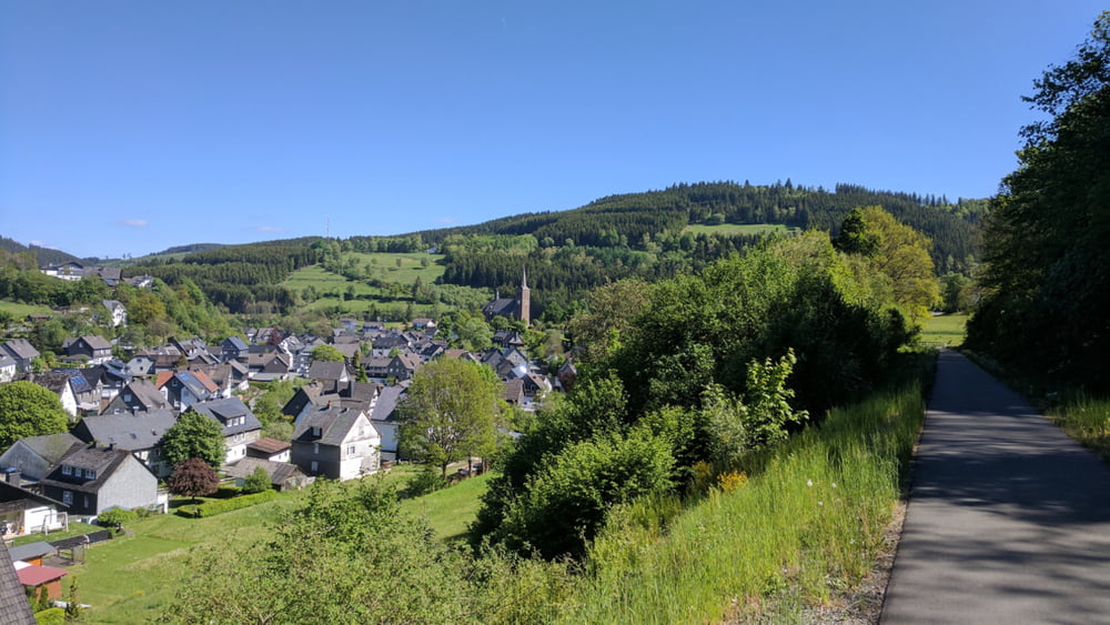
Eine Trainingsrunde mit dem Rennrad von Edertal auf den Kahlen Asten bei Winterberg.
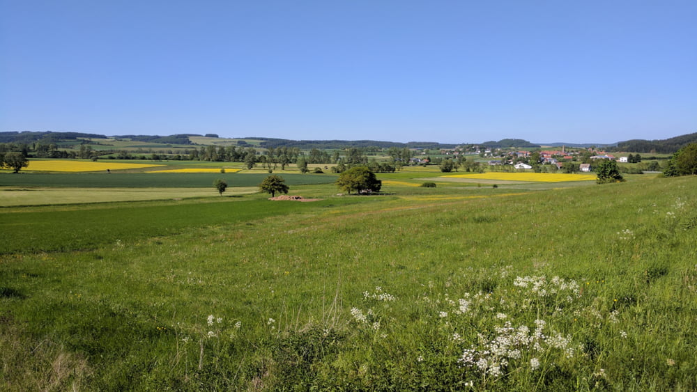
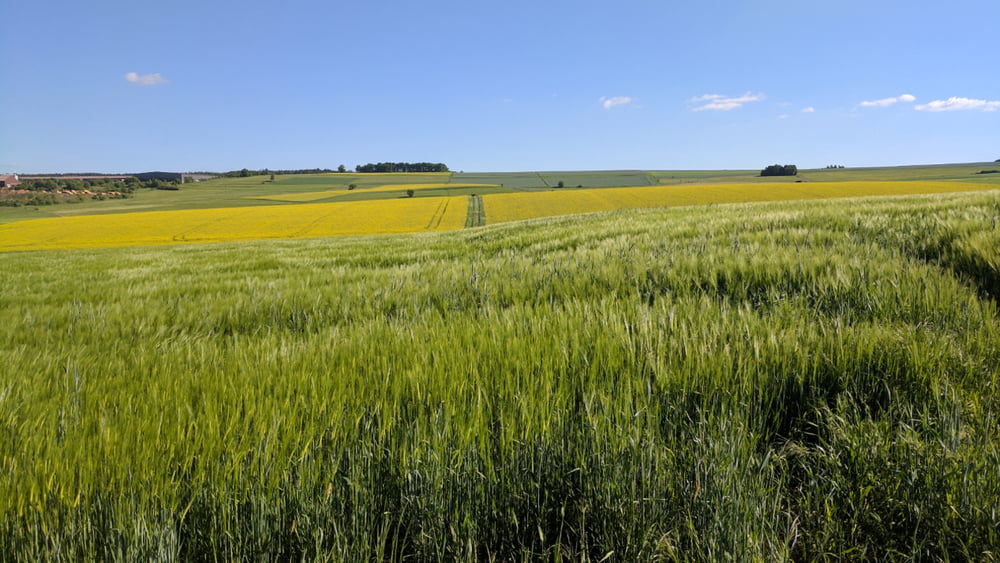
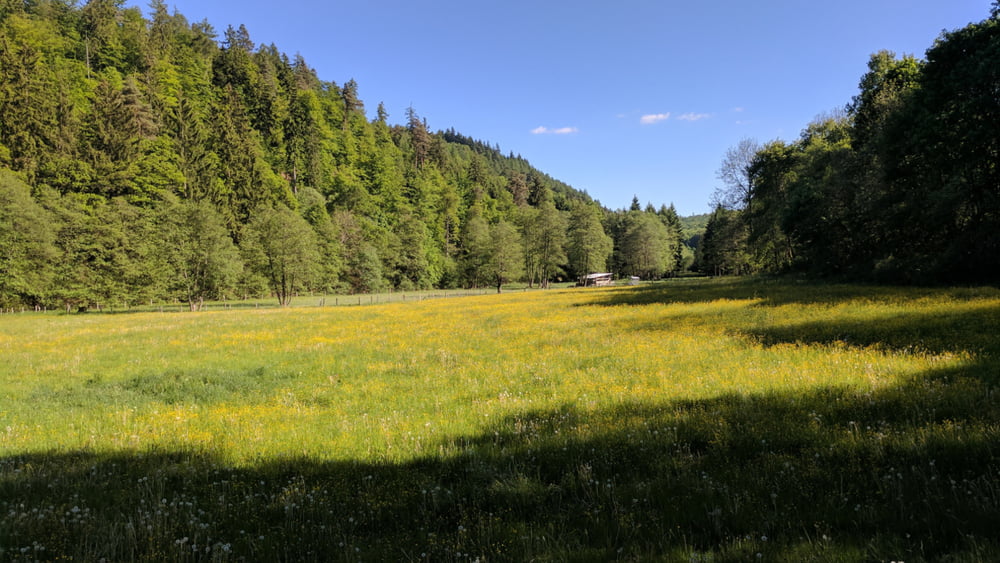
Die Tour verläuft zum großten Teil auf dem Linspher-Radweg (sehr gut ausgebauter Bahntrassenradweg), auf dem Rückweg ein zusätzlicher Umweg über Hesborn, Dreislar und Neukirchen - landschaftlich sehr schön !
Further information at
/en/tracks/detail.22249.htmlTour gallery
Tour map and elevation profile
Minimum height 305 m
Maximum height 848 m
More about the tour author
|
|
cmueli |
Comments

Start und Ziel ist der Ortseingang von Allendorf/Eder. Durch Allendorf verläuft auch der Ederradweg, 10 km entfernt (Frankenberg) besteht Bahnanschluss.
GPS tracks
Trackpoints-
GPX / Garmin Map Source (gpx) download
-
TCX / Garmin Training Center® (tcx) download
-
CRS / Garmin Training Center® (crs) download
-
Google Earth (kml) download
-
G7ToWin (g7t) download
-
TTQV (trk) download
-
Overlay (ovl) download
-
Fugawi (txt) download
-
Kompass (DAV) Track (tk) download
-
Track data sheet (pdf) download
-
Original file of the author (gpx) download
More about the tour author
|
|
cmueli |
Add to my favorites
Remove from my favorites
Edit tags
Open track
My score
Rate