


Die Tour startet und endet in Meckenheim am Bahnhof Industriepark.
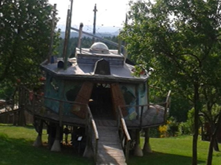
Von hier aus geht es über Hilberath, Häselingen ... zu dem Ufo und anderen Kunstobjekten nach Honerath. Ein Stop lohnt sich. Weiter über die Wasserscheide und irgendwann kommen wir von einer Sehenswürdigkeit zur nächsten.
Das wären an Burgen: Ringsheim, Kirspenich, Lüftelberg, Heistert
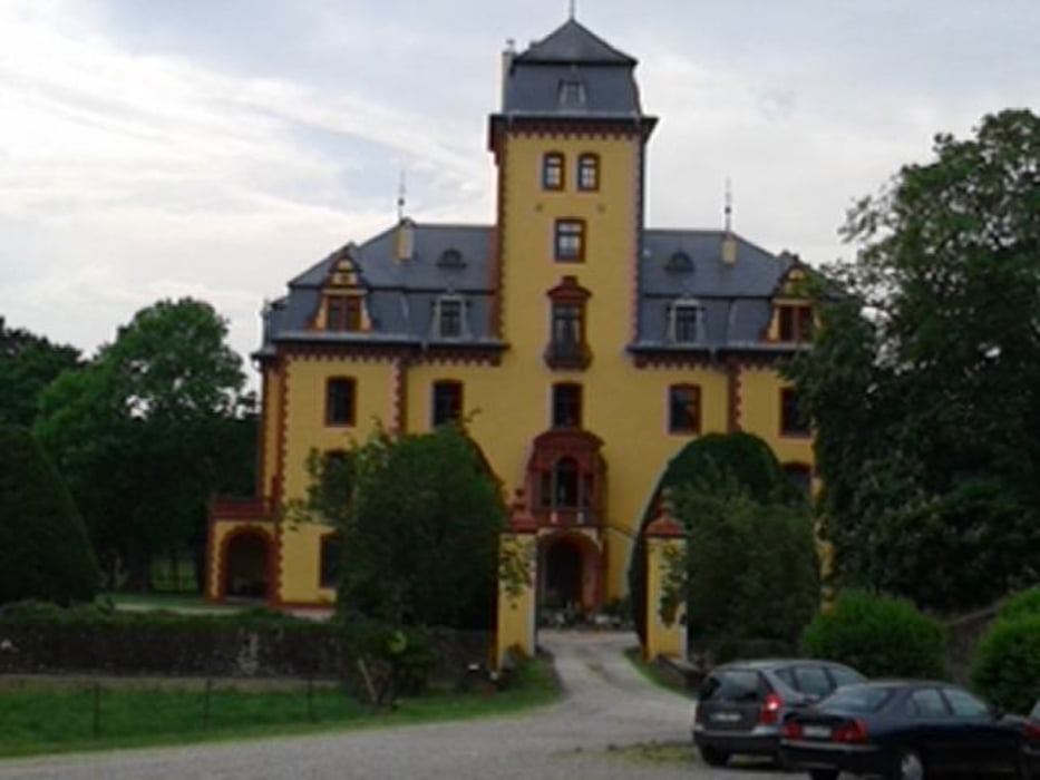
Dann noch Schloss Wachendorf, die Bruder-Klaus-Feldkapelle (Wachendorf) und die Steinbachtalsperre.
Tour gallery
Tour map and elevation profile
Minimum height 150 m
Maximum height 563 m
More about the tour author
|
|
radldidi |
Comments

Die Tour startet und endet in Meckenheim am Bahnhof Industriepark.
GPS tracks
Trackpoints-
GPX / Garmin Map Source (gpx) download
-
TCX / Garmin Training Center® (tcx) download
-
CRS / Garmin Training Center® (crs) download
-
Google Earth (kml) download
-
G7ToWin (g7t) download
-
TTQV (trk) download
-
Overlay (ovl) download
-
Fugawi (txt) download
-
Kompass (DAV) Track (tk) download
-
Track data sheet (pdf) download
-
Original file of the author (gpx) download
More about the tour author
|
|
radldidi |
Add to my favorites
Remove from my favorites
Edit tags
Open track
My score
Rate