Login

Forgot your login?

Cookies have to be accepted!
Your browser's cookie functionality is disabled. Please enable this functionality.

Not a member yet?

Register now
Login

Available for registred users only

Log in to use this feature.

Forgot your login?

Cookies have to be accepted!
Your browser's cookie functionality is disabled. Please enable this functionality.

Not a member yet?

Register now
Filter
Categories
Advanced filters
  • Distance (km)
  • Height
Save filters Reset filter

TrackRank

QRCode

Technical data

Distance16,9 km Height1303 m Way down1394 m Duration09:00 h:m Date03.06.2017
Scores Author Landscape Fun factor Fitness Technique

Statistics

93 Views Scores 7 Downloads Average
Rate
  • Track data sheet
  • Directions
  • Downloads

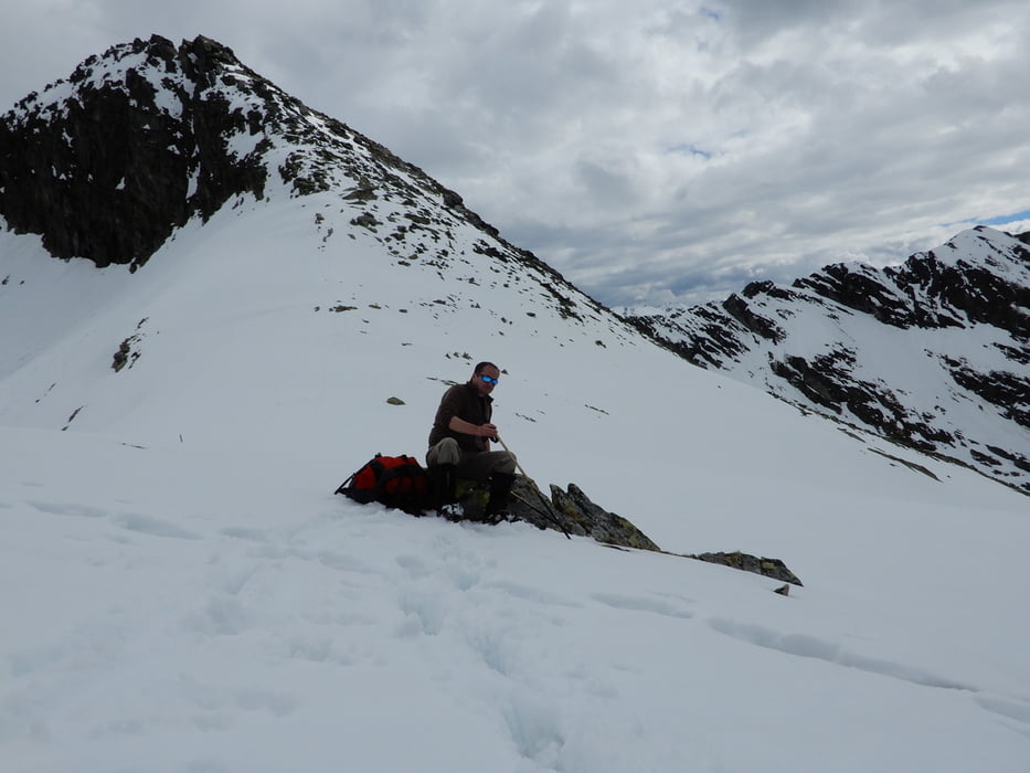
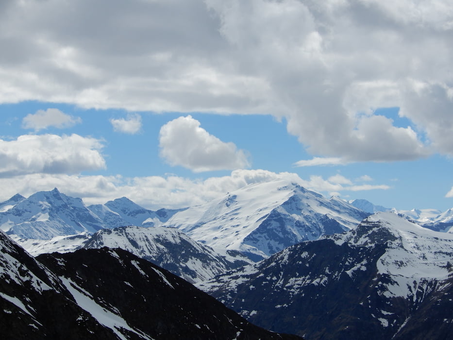
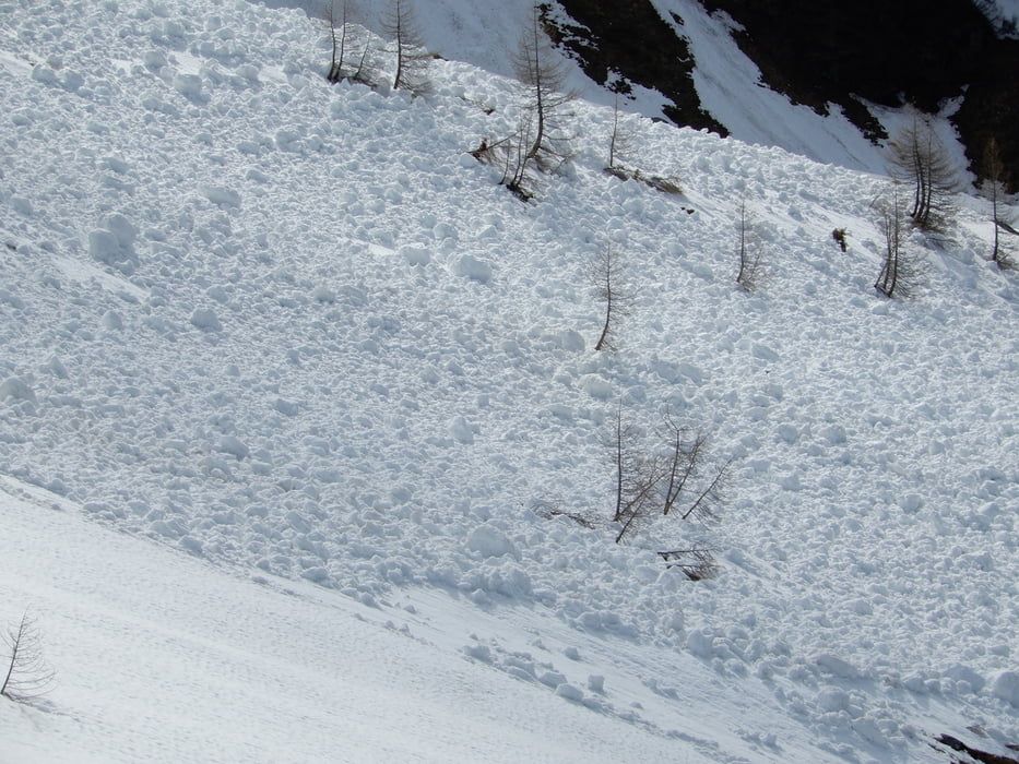
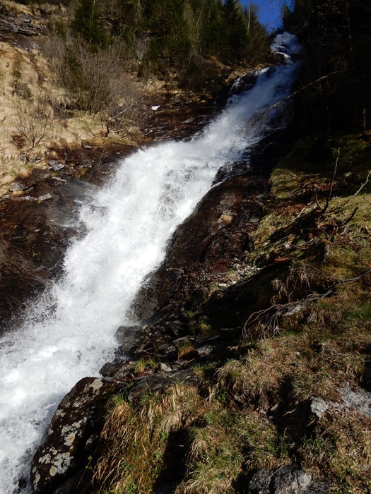
flat into the valley Kötschachtal, steep up to Reedsee (small lake), up to Palfnerscharte at around 2314 meter. then down to Palfnersee (another small  lake), to verfallene Hochalm, steep down to a road through the forests for the farmers only, no traffic, down to Bad Gastein. Spectacular landscape and wide views, take care on weather, can change rapidly, stay equipped for heavy wind and rain, thunderstorm. Some water on the way. Sunblocker on sunny days. Snow up to begin of June expected. 


Tour gallery

Tour map and elevation profile

  • Open Street Map
  • Google
Minimum height 903 m Maximum height 2323 m Detailed view

More about the tour author

oldienotgoldie
Member since 2017

Send private message

Comments

GPS tracks

Trackpoints
  • GPX / Garmin Map Source (gpx) download
  • TCX / Garmin Training Center® (tcx) download
  • CRS / Garmin Training Center® (crs) download
  • Google Earth (kml) download
  • G7ToWin (g7t) download
  • TTQV (trk) download
  • Overlay (ovl) download
  • Fugawi (txt) download
  • Kompass (DAV) Track (tk) download
  • Track data sheet (pdf) download
  • Original file of the author (gpx) download

More about the tour author

oldienotgoldie
Member since 2017

Send private message
Share track
Add to my favorites
Remove from my favorites
Edit tags
My score
Rate
Track: Graukogel, around Summit
Type: Hiking
Distance: 16,9 km
Evaluated on:
Duration:
Day(s)
Hour(s)
Minute(s)
Score: Landscape Fun factor Fitness Technique