
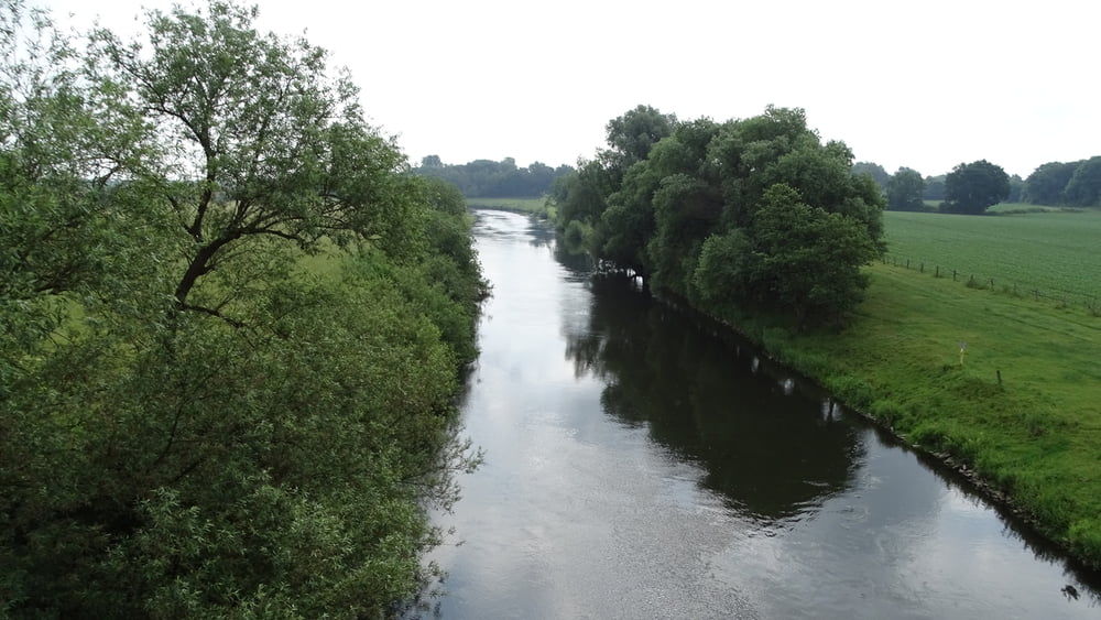

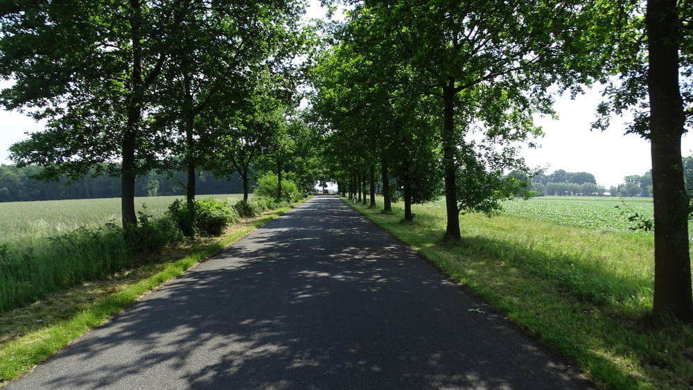
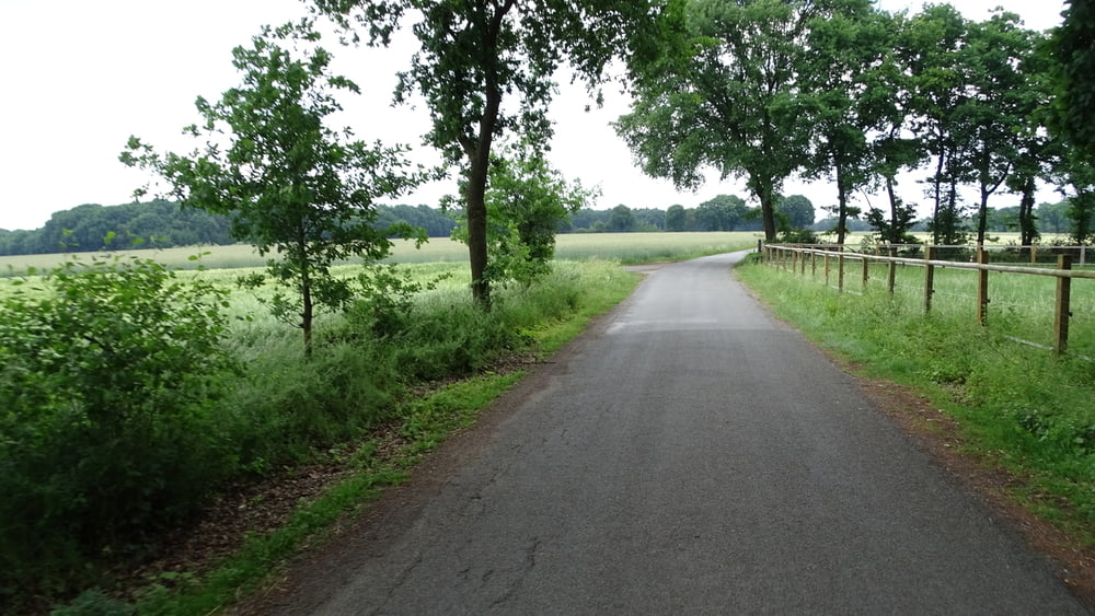
Unsere Tour beginnt in Schermbeck. Wir starten von dem Parkplatz an der Waldstraße (Schützenplatz). Von Schermbeck führt die Tour um Dorsten herum. Wir fahren viel an der Grenze zwischen Westfalen und Rheinland. Die Straßen und Weg sind gut zu befahren.
Tour gallery
Tour map and elevation profile
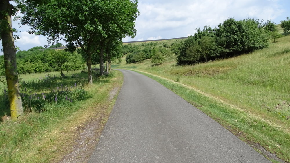
Minimum height 29 m
Maximum height 128 m
More about the tour author

|
civap |
Comments

Von der A3 fährt man über die B 58 Richtung Münster. Die erste Abzweigung nach Schermbeck links, der Weseler Straße folgen. Dem Friedhof gegenüber geht es links in die Waldstraße wo nach wenigen Metern links der Parkplatz liegt.
GPS tracks
Trackpoints-
GPX / Garmin Map Source (gpx) download
-
TCX / Garmin Training Center® (tcx) download
-
CRS / Garmin Training Center® (crs) download
-
Google Earth (kml) download
-
G7ToWin (g7t) download
-
TTQV (trk) download
-
Overlay (ovl) download
-
Fugawi (txt) download
-
Kompass (DAV) Track (tk) download
-
Track data sheet (pdf) download
-
Original file of the author (gpx) download
More about the tour author
|
|
civap |
Add to my favorites
Remove from my favorites
Edit tags
Open track
My score
Rate