


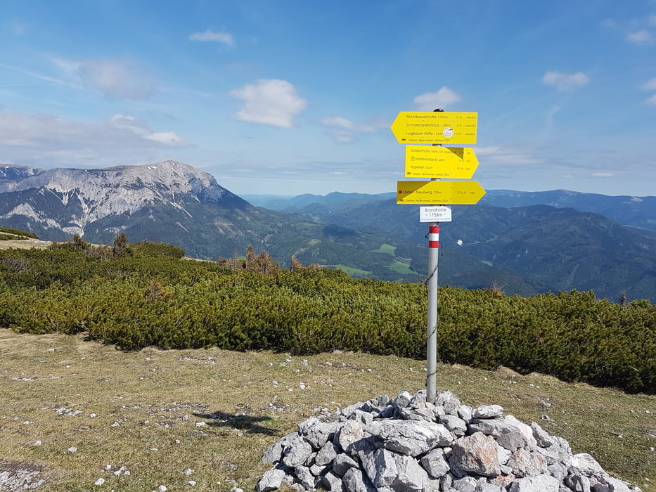
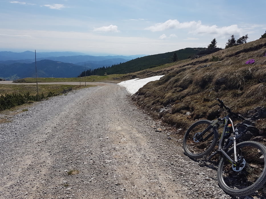
Start beim Urani-Wirt in Lechen, nahe Neuberg an der Mürz. Bald geht es vorbei am Michlbauer, wo für Autos 7 Euro Maut zu zahlen sind. Mit dem Auto kann man bis zum Kohlebnerstand auf 1450 Meter Seehöhe fahren. Von dort geht es tiels recht steil weiter, technisch jedoch immer einfach. Nach dem Sender sind es nur noch wenige Höhenmeter bis zur Hochebene, dem Schneealm-Plateau. Auf grobschottrigen Wegen kann man wahlweise drei Hütten ansteuern, die Michlbauerhütte, das Schneealpenhaus oder - am weitesten - die Lurgbauerhütte. Dort endet die Schotterstraße.
Tour gallery
Tour map and elevation profile
Minimum height 720 m
Maximum height 1767 m
More about the tour author
|
|
Magbenkoe |
Comments

GPS tracks
Trackpoints-
GPX / Garmin Map Source (gpx) download
-
TCX / Garmin Training Center® (tcx) download
-
CRS / Garmin Training Center® (crs) download
-
Google Earth (kml) download
-
G7ToWin (g7t) download
-
TTQV (trk) download
-
Overlay (ovl) download
-
Fugawi (txt) download
-
Kompass (DAV) Track (tk) download
-
Track data sheet (pdf) download
-
Original file of the author (gpx) download
More about the tour author
|
|
Magbenkoe |
Add to my favorites
Remove from my favorites
Edit tags
Open track
My score
Rate