


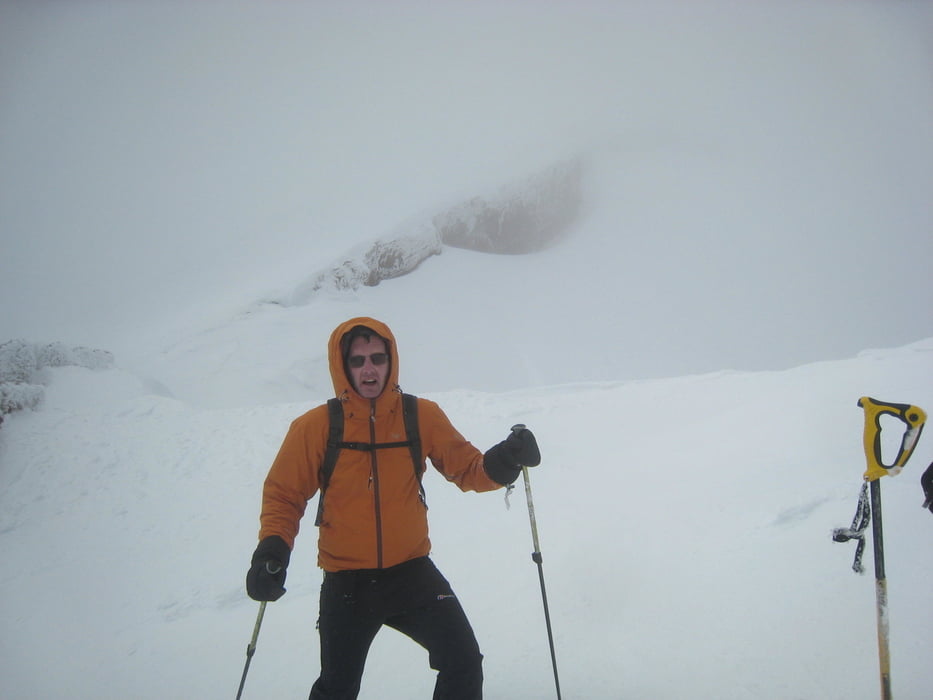
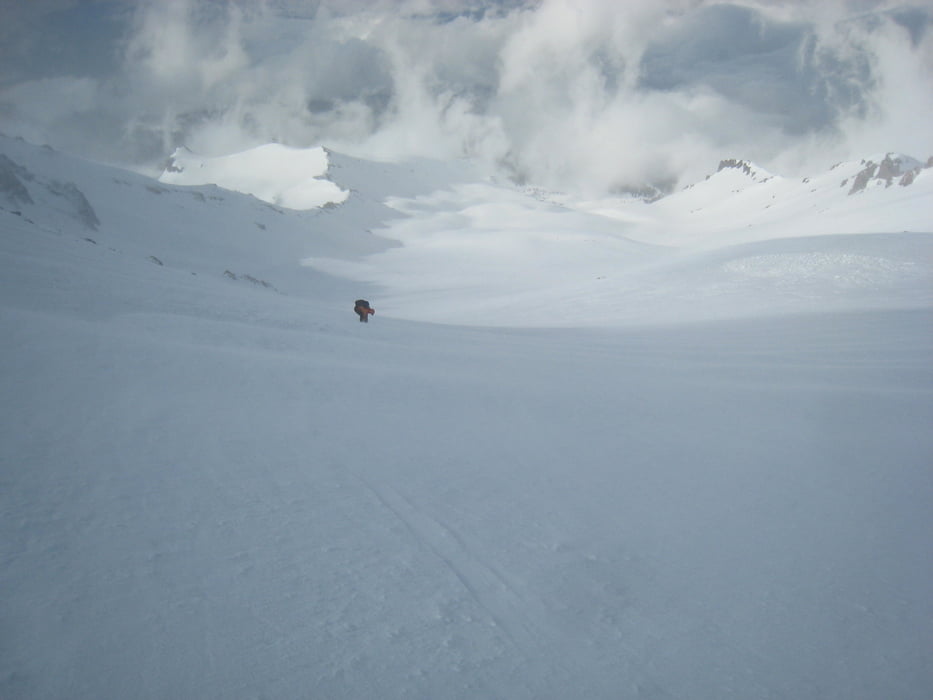
Vom Parkplatz zunächst links haltend in den Wald ,. dann durch das weite Kar nach Norden ansteigen. Am Karende rechts durch eine breite Rinne etwas Schneebrettgefährdet zum Grat und weiter zu den Red Banks. Kurz vor dem Gipfel wegen Schneesturm umgedreht. Die steilste Stelle ist unterhalb vom Thumb Rock, bai ca. gut 30°
Amerikaner machen die Tour meist als Zweitagestour mit Übernachtung beim Helen lake. Dies ist aber für halbwegs konditionsstarke Tourengeher nicht nötig.
Tourdatum 7.5.2016
Tour gallery
Tour map and elevation profile
Minimum height 2107 m
Maximum height 4233 m
More about the tour author

|
Gi |
Comments

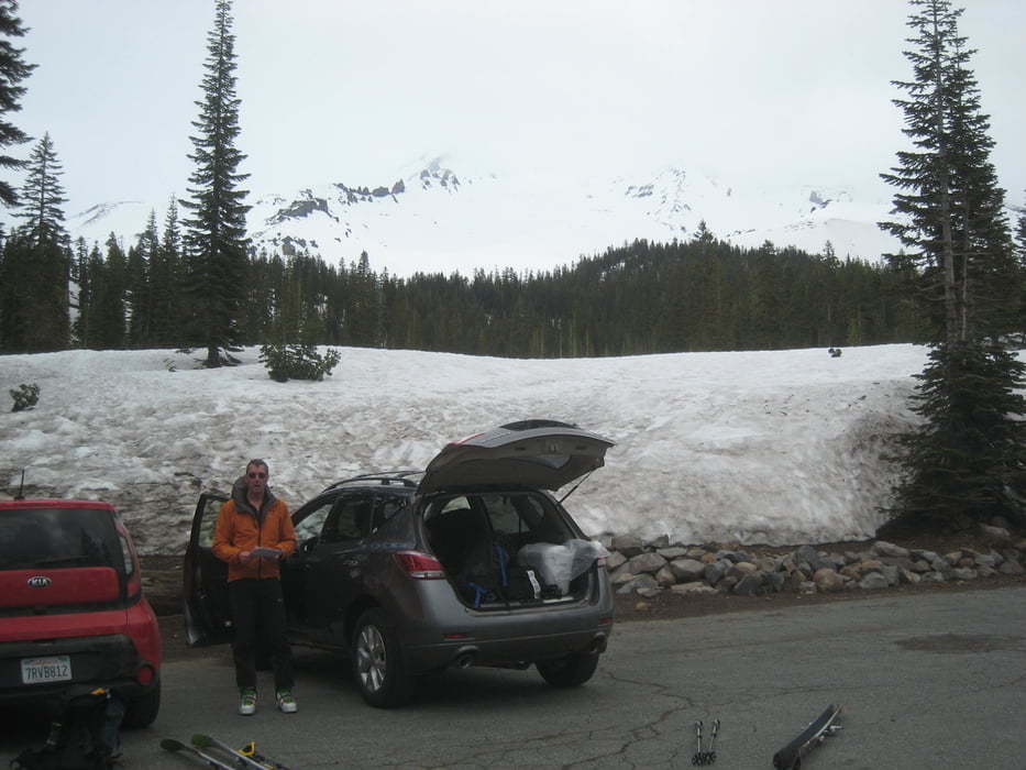
Von Mc Cloud auf der A10, Everitt Memorial Highway bis nach Bunny Flat. Hier parken
GPS tracks
Trackpoints-
GPX / Garmin Map Source (gpx) download
-
TCX / Garmin Training Center® (tcx) download
-
CRS / Garmin Training Center® (crs) download
-
Google Earth (kml) download
-
G7ToWin (g7t) download
-
TTQV (trk) download
-
Overlay (ovl) download
-
Fugawi (txt) download
-
Kompass (DAV) Track (tk) download
-
Track data sheet (pdf) download
-
Original file of the author (gpx) download
More about the tour author
|
|
Gi |
Add to my favorites
Remove from my favorites
Edit tags
Open track
My score
Rate