Login

Forgot your login?

Cookies have to be accepted!
Your browser's cookie functionality is disabled. Please enable this functionality.

Not a member yet?

Register now
Login

Available for registred users only

Log in to use this feature.

Forgot your login?

Cookies have to be accepted!
Your browser's cookie functionality is disabled. Please enable this functionality.

Not a member yet?

Register now
Filter
Categories
Advanced filters
  • Distance (km)
  • Height
Save filters Reset filter

TrackRank

QRCode

Technical data

Distance18,8 km Height558 m Way down558 m Duration07:00 h:m Date12.06.2017
Scores Author Landscape Fun factor Fitness Technique

Statistics

189 Views Scores 31 Downloads Average
Rate
  • Track data sheet
  • Directions
  • Downloads
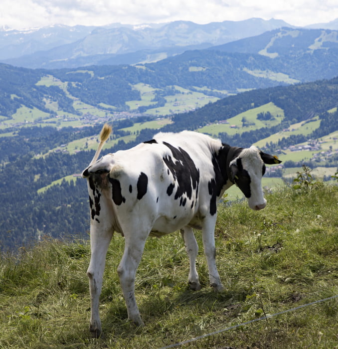
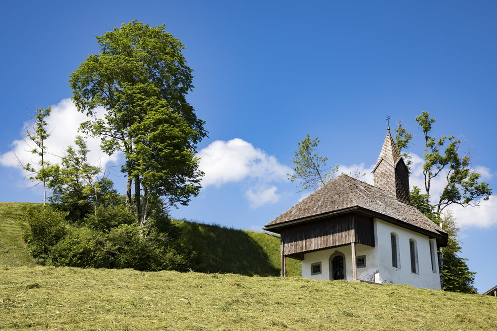
Von Bregenz mit der Bahn auf den Pfänder, dann über zwei weitere Gipfel mit schöner Rundumsicht zurück zum Pfänder. Einfach zu gehen.

Tour gallery

Tour map and elevation profile

  • Open Street Map
  • Google
Minimum height 888 m Maximum height 1080 m Detailed view

More about the tour author

drache73235
Member since 2007

Send private message

Comments

In Bregenz im Parkhaus an der Pfänder Bahn parken

GPS tracks

Trackpoints
  • GPX / Garmin Map Source (gpx) download
  • TCX / Garmin Training Center® (tcx) download
  • CRS / Garmin Training Center® (crs) download
  • Google Earth (kml) download
  • G7ToWin (g7t) download
  • TTQV (trk) download
  • Overlay (ovl) download
  • Fugawi (txt) download
  • Kompass (DAV) Track (tk) download
  • Track data sheet (pdf) download
  • Original file of the author (gpx) download

More about the tour author

drache73235
Member since 2007

Send private message
Share track
Add to my favorites
Remove from my favorites
Edit tags
My score
Rate
Track: Bregenzer Wald mit Pfänder und zwei weiteren Gipfel
Type: Mountain hiking
Distance: 18,8 km
Evaluated on:
Duration:
Day(s)
Hour(s)
Minute(s)
Score: Landscape Fun factor Fitness Technique