


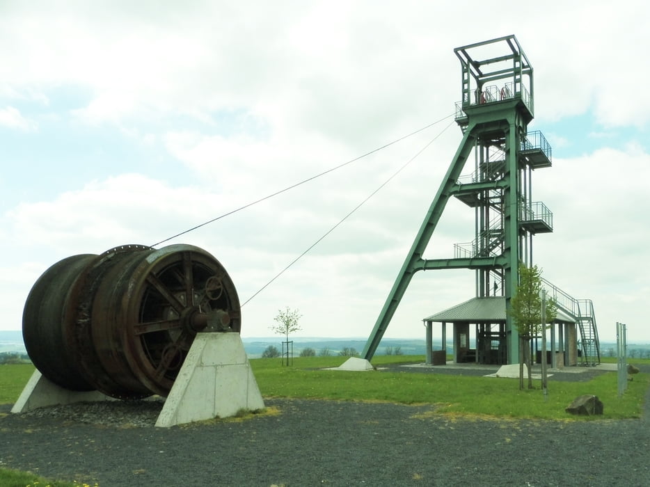
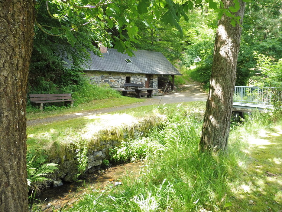
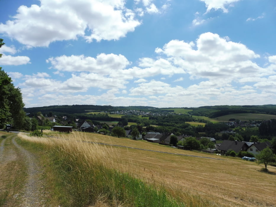
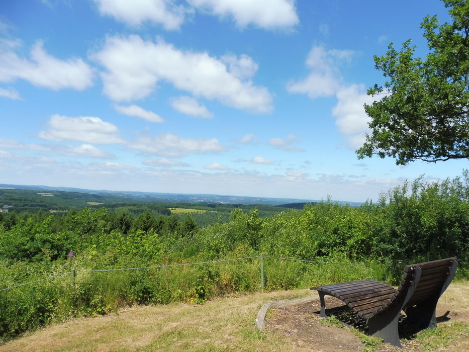
LIMBACHER RUNDE 52: Dauersberger Alm
Zum Herunterladen und Ausdrucken gibt es auch eine sehr detaillierte textliche Wegbeschreibung.
Der Kultur- und Verkehrsverein Limbach e.V. (KuV) bietet über 20 (!) LIMBACHER RUNDEN (LR). Ausführliche Infos - auch zu den weiteren KuV-Aktivitäten wie z.B. RadWandern - findest Du auf der Homepage des KuV-Limbach.
Tour gallery
Tour map and elevation profile
Minimum height 244 m
Maximum height 450 m
More about the tour author
|
|
KuV-Limbach |
Comments

Start und Ziel aller LIMBACHER RUNDEN sind am "Haus des Gastes" (Dorfgemeinschaftshaus) im Hardtweg 3 in 57629 Limbach. Kostenlose Parkplätze sind dort in ausreichender Zahl vorhanden.
GPS tracks
Trackpoints-
GPX / Garmin Map Source (gpx) download
-
TCX / Garmin Training Center® (tcx) download
-
CRS / Garmin Training Center® (crs) download
-
Google Earth (kml) download
-
G7ToWin (g7t) download
-
TTQV (trk) download
-
Overlay (ovl) download
-
Fugawi (txt) download
-
Kompass (DAV) Track (tk) download
-
Track data sheet (pdf) download
-
Original file of the author (gpx) download
More about the tour author
|
|
KuV-Limbach |
Add to my favorites
Remove from my favorites
Edit tags
Open track
My score
Rate