


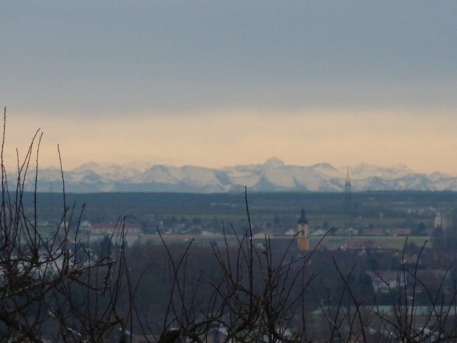
Von Erbach aus hügelig und z.Teil im Wald (schattig) bis Ehingen. Dort Anstieg auf ca. 750 mm und schöne, schattige Waldstrecke bis oberhalb Lauterach,
Von dort eine erholsame Abfahrt über gute, kleingeschotterte Waldwege nach Lauterach (250 Höhenmeter bergab).
Zurück auf dem Donauradwanderweg.
Einkehrmöglichkeiten in allen berührten Orten.
Tour gallery
Tour map and elevation profile
Minimum height 476 m
Maximum height 744 m
More about the tour author

|
Pedebacher |
Comments

Erbach liegt 9 km südwestlich von Ulm an der B311. Parkplätze in der Umgebung des Bahnhofes genügend vorhanden.
GPS tracks
Trackpoints-
GPX / Garmin Map Source (gpx) download
-
TCX / Garmin Training Center® (tcx) download
-
CRS / Garmin Training Center® (crs) download
-
Google Earth (kml) download
-
G7ToWin (g7t) download
-
TTQV (trk) download
-
Overlay (ovl) download
-
Fugawi (txt) download
-
Kompass (DAV) Track (tk) download
-
Track data sheet (pdf) download
-
Original file of the author (gpx) download
More about the tour author
|
|
Pedebacher |
Add to my favorites
Remove from my favorites
Edit tags
Open track
My score
Rate