Login

Forgotten password?

Cookies have to be accepted!
Your browser's cookie functionality is disabled. Please enable this functionality.

Not a member yet?

Register now
Login

Available for registred users only

Log in to use this feature.

Forgotten password?

Cookies have to be accepted!
Your browser's cookie functionality is disabled. Please enable this functionality.

Not a member yet?

Register now
Filter
Categories
Advanced filters
  • Distance (km)
  • Height
Save filters Reset filter

TrackRank

QRCode

Technical data

Distance50,7 km Height0 m Way down0 m Duration1 day 0 h Date03.07.2017
Scores Author Landscape Fun factor Fitness Technique

Statistics

131 Views Scores 7 Downloads Average
Rate
  • Track data sheet
  • Directions
  • Downloads

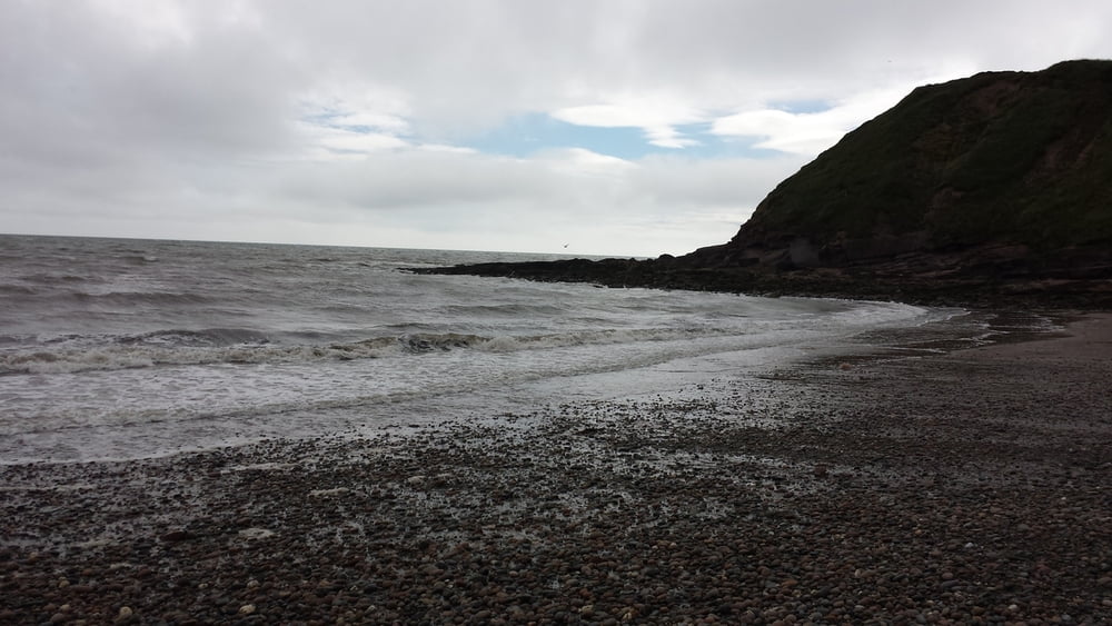
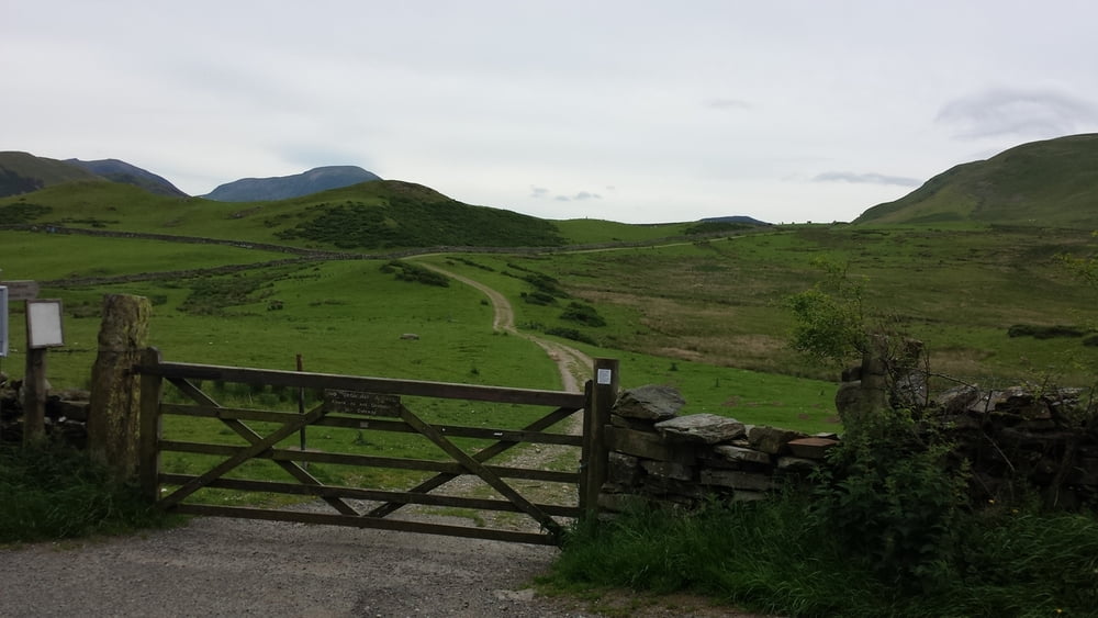
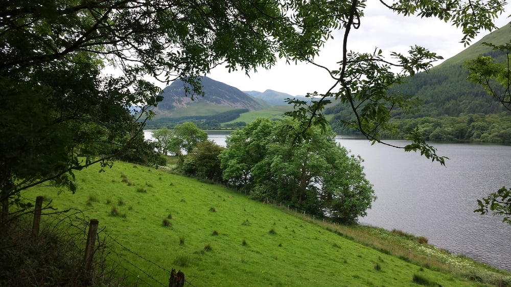
Dit is de vierde dag van de fietstocht langs de Hadrianus muur en Wainwrights Coast to coast route. De low budget route gaat van camping naar camping. Het gedeelte langs de Hadrianus muur volgt de National Cycle Route 72 tot Carlisle. Na  Carlisle buigt de track in richting van St. Bees, het startpunt van Wainwrights coast to coast van de Ierse zee naar de Noordzee.. Deze coast to coast route is van oorsprong een wandelpad. Ik heb geprobeerd om fietspaden en stille wegen op te nemen die zo dicht mogelijk bij de wandelroute liggen. 

This is the fourth day of the cycle route along the Hadrian's Wall and Wainwrights Coast tot Coast.

The low budget route goes from campsite to campsite . The part along the Hadrian's Wall follows the National Cycle Route 72 till Carlisle. After Carlisle the track bends in the direction of St. Bees the starting point of Wainwrights Coast to Coast from the Irish sea to the North sea. This coast to coast route is a walking route. I tried to use cyclingpaths and quiet roads that are situated as near as possible to the walkingroute.

Tour gallery

Tour map and elevation profile

  • Open Street Map
  • Google
Minimum height 99999 m Maximum height -99999 m Detailed view

More about the tour author

partnair
Member since 2017

Send private message

Comments

Vanaf Seacote camping ga je weer terug in noordelijke richting om de C2C fietsroute op te pikken. Het Whitehaven Ennerdale railway fietspad ligt weer verborgen dus even uitkijken. Of vraag het aan de lokale bewoners. Op het mooie fietspad kom je op een gegeven moment bij een Y splitsing. Vergeet hier even de GPX track en houdt rechts aan en volg het bordje NCR 71. Je blijft dan heerlijk vlak rijden op het fietspad door een mooi landschap. Je komt dan vanzelf weer op de C2C uit. 

Na het fietspad gaat het geleidelijk omhoog richting Whinlatterpas. Reken op 5 km zwoegen op de pas.  Rust even uit bij het Whinlatter Forrest Visitors Centre. Na Whinlatter gaat het hoofdzakelijk omlaag naar Keswick. Goede remmen zijn een must.

Keswick -ook wel Pitlochry at the lakes - genoemd is een leuk en levendig stadje. In het potloodmuseum zie je het grootste potlood van de wereld. 

De camping ligt aan het Derwent water meer. De kampeerplaats is super toeristisch maar een frisse duik in het meer maakt alles goed.


From Seacote campsite you will go direction north to pick up the C2C Cycling route. The Whitehaven Ennerdale railway cycling path is a bit hidden, so keep your eyes open. Or ask the local people. On this beautifull cycling path there is a moment that you meet a Y intersection. Forget for a moment the GPX track and maintain right and follow de shield NCR 71. Doing so you will stay on this fine flat path that goes through a beautifull landscape.  You will meet the C2C again after a while. 

After the cycling path the climbing begins to The Whinlatter pass. This means working hard over 3 miles on this pass. Take a break at the Whinlatter Forrest Visitors Centre.

After Whinlatter it goes mostly downhill to Keswick. Good brakes are a must.

Keswick - also named Pitlochry at the lakes - is a nice and dynamic little town. In the pencil museum you can admire the biggest pencil on earth.

The campsite is at Lake Derwent water. It's supertouristic but a nice swim in the lake makes everything all right.

GPS tracks

Trackpoints
  • GPX / Garmin Map Source (gpx) download
  • TCX / Garmin Training Center® (tcx) download
  • CRS / Garmin Training Center® (crs) download
  • Google Earth (kml) download
  • G7ToWin (g7t) download
  • TTQV (trk) download
  • Overlay (ovl) download
  • Fugawi (txt) download
  • Kompass (DAV) Track (tk) download
  • Track data sheet (pdf) download
  • Original file of the author (gpx) download

More about the tour author

partnair
Member since 2017

Send private message
Share track
Add to my favorites
Remove from my favorites
Edit tags
My score
Rate
Track: Dag/ Day 4 Hadrianus muur (Hadrian's wall) en Wainwrights Coast tot coast
Type: Bicycle tours
Distance: 50,7 km
Evaluated on:
Duration:
Day(s)
Hour(s)
Minute(s)
Score: Landscape Fun factor Fitness Technique