Login

Forgot your login?

Cookies have to be accepted!
Your browser's cookie functionality is disabled. Please enable this functionality.

Not a member yet?

Register now
Login

Available for registred users only

Log in to use this feature.

Forgot your login?

Cookies have to be accepted!
Your browser's cookie functionality is disabled. Please enable this functionality.

Not a member yet?

Register now
Filter
Categories
Advanced filters
  • Distance (km)
  • Height
Save filters Reset filter

TrackRank

QRCode

Technical data

Distance204,6 km Height1163 m Way down1187 m Duration06:30 h:m Date17.07.2017
Scores Author Landscape Fun factor Fitness Technique

Statistics

507 Views Scores 57 Downloads Average
Rate
  • Track data sheet
  • Directions
  • Downloads

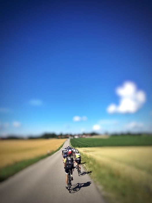
Hier eine mögliche Umrundung von München mit zahlreichen Einkehrmöglichkeiten. Super Straßenverhältnisse, alles mit dem Rennrad befahrbar. Viel Spaß!

Start ist in Brunnthal.

Tour map and elevation profile

  • Open Street Map
  • Google
Minimum height 454 m Maximum height 691 m Detailed view

More about the tour author

Hasenbaer
Member since 2013

Send private message

Comments

Brunnthal siehe maps

GPS tracks

Trackpoints
  • GPX / Garmin Map Source (gpx) download
  • TCX / Garmin Training Center® (tcx) download
  • CRS / Garmin Training Center® (crs) download
  • Google Earth (kml) download
  • G7ToWin (g7t) download
  • TTQV (trk) download
  • Overlay (ovl) download
  • Fugawi (txt) download
  • Kompass (DAV) Track (tk) download
  • Track data sheet (pdf) download
  • Original file of the author (gpx) download

More about the tour author

Hasenbaer
Member since 2013

Send private message
Share track
Add to my favorites
Remove from my favorites
Edit tags
My score
Rate
Track: Mit dem Veloziped eine Null um München
Type: Road biking
Distance: 204,6 km
Evaluated on:
Duration:
Day(s)
Hour(s)
Minute(s)
Score: Landscape Fun factor Fitness Technique