


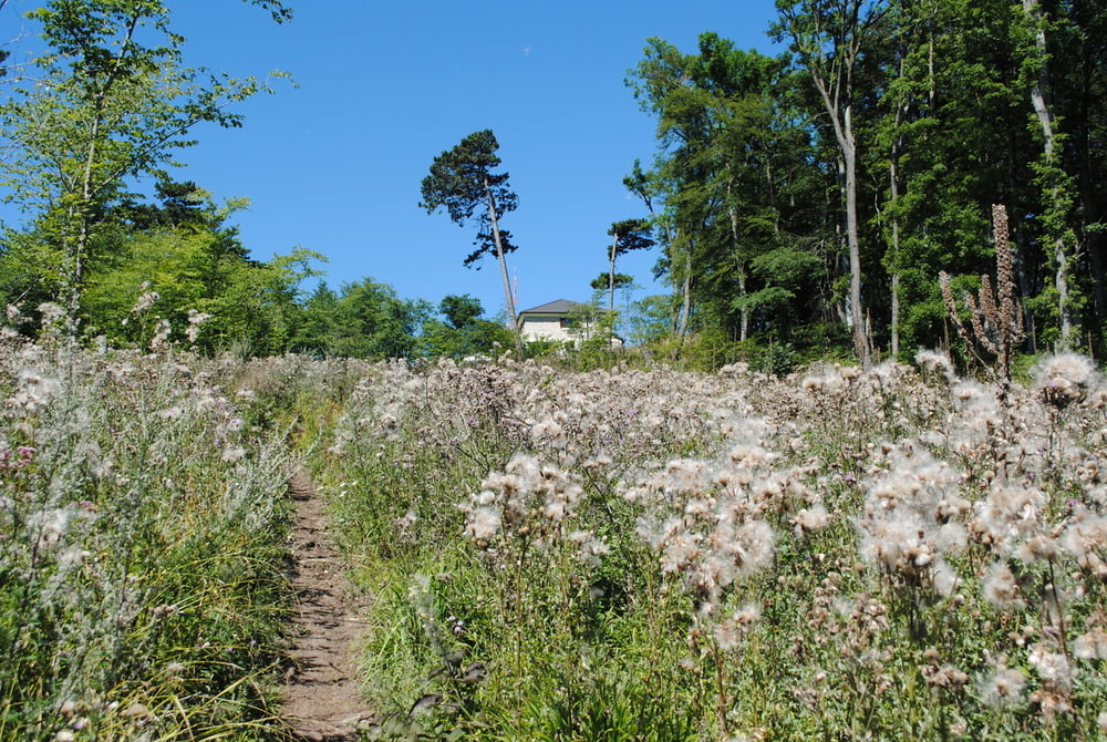
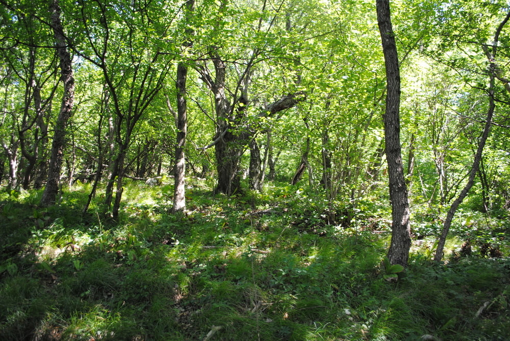
start wassergspreng.forststrasse bergan und links blaue markierung auf den höllenstein.rast und gute hausmannskost.weiter bergab richtung geißberg und dann weiter zum leider geschlossenen gasthaus seewiese.jetzt strasse zurück richtung höllenstein und dann links bergab über eine wiese (nicht markiert) auf den hohen G.kurze rast und dann ziemlich steil bergab.wir kommen wieder auf die strasse zum wassergspreng und damit zurück zum ausgangspunkt.
Tour gallery
Tour map and elevation profile
Minimum height 310 m
Maximum height 650 m
More about the tour author
|
|
LeoCheops |
Comments

GPS tracks
Trackpoints-
GPX / Garmin Map Source (gpx) download
-
TCX / Garmin Training Center® (tcx) download
-
CRS / Garmin Training Center® (crs) download
-
Google Earth (kml) download
-
G7ToWin (g7t) download
-
TTQV (trk) download
-
Overlay (ovl) download
-
Fugawi (txt) download
-
Kompass (DAV) Track (tk) download
-
Track data sheet (pdf) download
-
Original file of the author (gpx) download
More about the tour author
|
|
LeoCheops |
Add to my favorites
Remove from my favorites
Edit tags
Open track
My score
Rate