Login

Forgot your login?

Cookies have to be accepted!
Your browser's cookie functionality is disabled. Please enable this functionality.

Not a member yet?

Register now
Login

Available for registred users only

Log in to use this feature.

Forgot your login?

Cookies have to be accepted!
Your browser's cookie functionality is disabled. Please enable this functionality.

Not a member yet?

Register now
Filter
Categories
Advanced filters
  • Distance (km)
  • Height
Save filters Reset filter

TrackRank

QRCode

Technical data

Distance63,9 km Height141 m Way down141 m Duration00:00 h:m Date12.08.2017
Scores Author Landscape Fun factor Fitness Technique

Statistics

104 Views Scores 34 Downloads Average
Rate
  • Track data sheet
  • Directions
  • Downloads
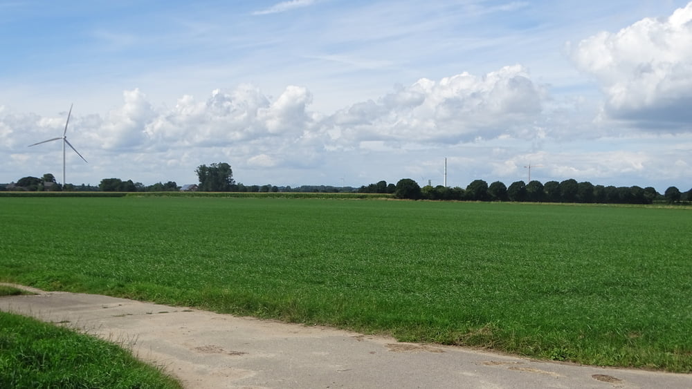
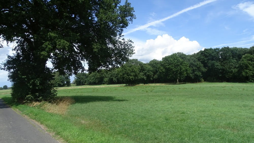
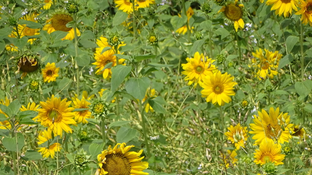
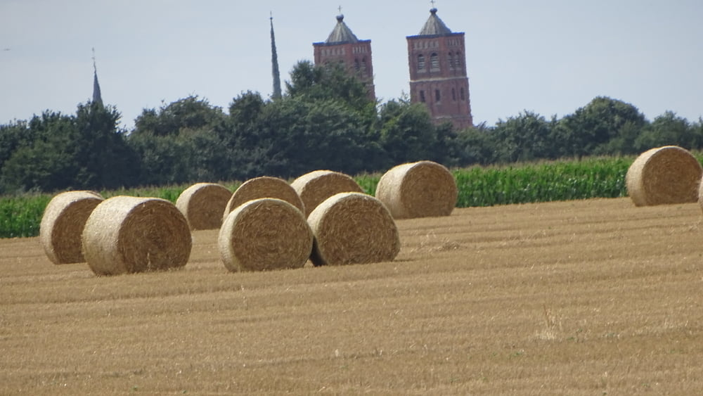
Vom Sportpatz an der Antoniterstraße in Hau fahren wir über Kalkar in die Niederung. Über Obermörmter und an Uedem vorbei geht es durch Louisendorf wieder zum Ausgangspunkt zurück.

Tour gallery

Tour map and elevation profile

  • Open Street Map
  • Google
Minimum height 14 m Maximum height 56 m Detailed view

More about the tour author

civap
Member since 2012

Send private message

Comments

Parkplatz Sportplatz  in Bedburg-Hau.

GPS tracks

Trackpoints
  • GPX / Garmin Map Source (gpx) download
  • TCX / Garmin Training Center® (tcx) download
  • CRS / Garmin Training Center® (crs) download
  • Google Earth (kml) download
  • G7ToWin (g7t) download
  • TTQV (trk) download
  • Overlay (ovl) download
  • Fugawi (txt) download
  • Kompass (DAV) Track (tk) download
  • Track data sheet (pdf) download
  • Original file of the author (gpx) download

More about the tour author

civap
Member since 2012

Send private message
Share track
Add to my favorites
Remove from my favorites
Edit tags
My score
Rate
Track: Auf Heimat Tour
Type: Bicycle tours
Distance: 63,9 km
Evaluated on:
Duration:
Day(s)
Hour(s)
Minute(s)
Score: Landscape Fun factor Fitness Technique