


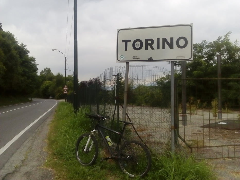
Scarmagno-Chivasso-Torino-Rivoli-Susa
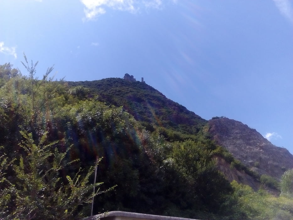
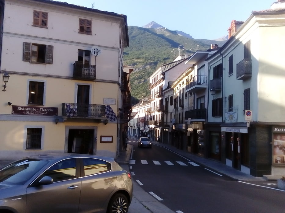
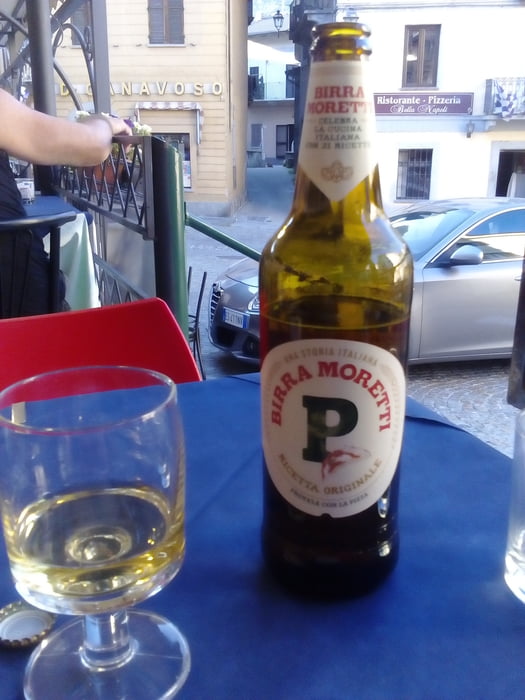
Eine notwendige Flachetappeauf der Straße. Die letzten 40 km sind die Berge wieder in Sicht, da kommt trotz starken Gegenwinds Freude auf. Großartiges Quartier gefunden, B&B Archivolto NF 50€. Mit sehr interessantem Gastgeber, Flavio Mariazzi: Fotograf, Bergliebhaber, Weltreisender). Rad im Appartement ein gutes Gefühl.
Eine notwendige Flachetappeauf der Straße. Die letzten 40 km sind die Berge wieder in Sicht, da kommt trotz starken Gegenwinds Freude auf. Großartiges Quartier gefunden, B&B Archivolto NF 50€. Mit sehr interessantem Gastgeber, Flavio Mariazzi: Fotograf, Bergliebhaber, Weltreisender). Rad im Appartement ein gutes Gefühl.
Further information at
http://www.bb-laterrazza.comTour gallery
Tour map and elevation profile
Minimum height 186 m
Maximum height 503 m
More about the tour author
|
|
mitter |
Comments

Start in Scarmagno vom Hotel Arcadia.
GPS tracks
Trackpoints-
GPX / Garmin Map Source (gpx) download
-
TCX / Garmin Training Center® (tcx) download
-
CRS / Garmin Training Center® (crs) download
-
Google Earth (kml) download
-
G7ToWin (g7t) download
-
TTQV (trk) download
-
Overlay (ovl) download
-
Fugawi (txt) download
-
Kompass (DAV) Track (tk) download
-
Track data sheet (pdf) download
-
Original file of the author (gpx) download
More about the tour author
|
|
mitter |
Add to my favorites
Remove from my favorites
Edit tags
Open track
My score
Rate