


We start on a point 1km east from Ag. Paraskevi, at altitude 1075m. This saves 75m because the trail start in Ag. Paraskevi start at altitude 1000m.
After 2km walk we come to the trail O3 from Ag. Paraskevi, and from now on we follow this trail.
Near altitude 1500m is drinking water.
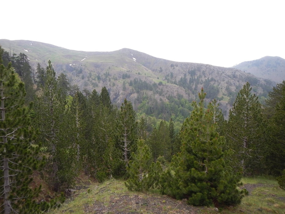
The tree limit is near altitude 2000m. From now on there is no shadow.
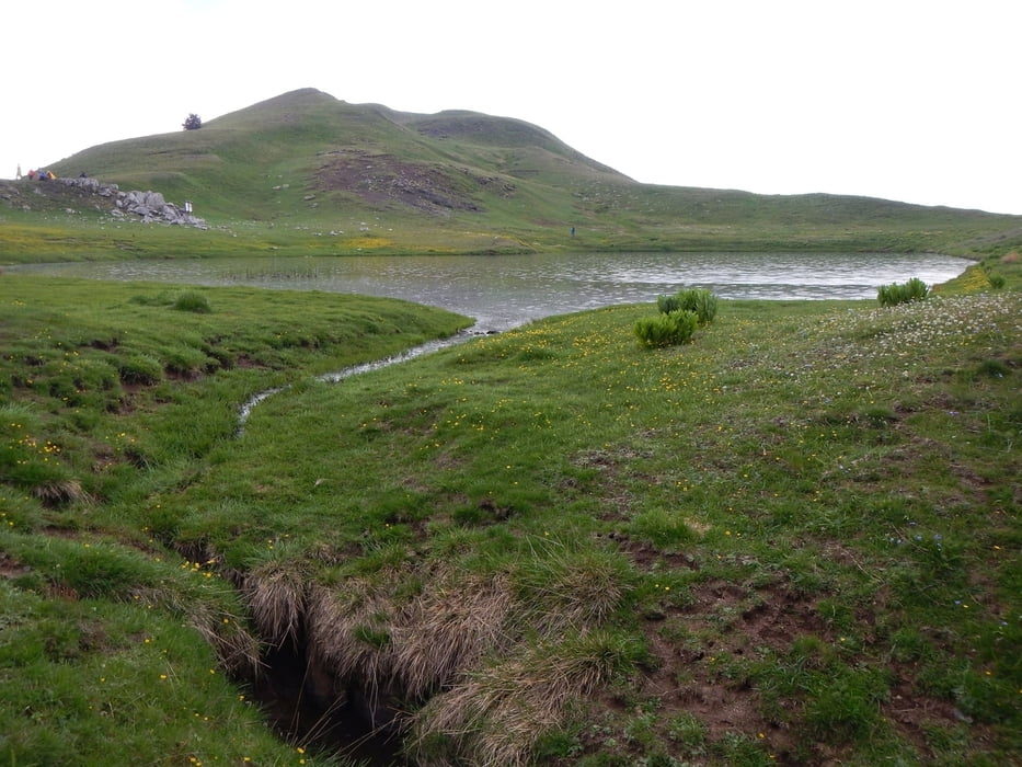
If you follow this trail from the north side of the mountain to Drakolimni, you can see the lake on the last 20 m, not before.
Some parts of the last 500m are slippery.
After 2km walk we come to the trail O3 from Ag. Paraskevi, and from now on we follow this trail.
Near altitude 1500m is drinking water.
The tree limit is near altitude 2000m. From now on there is no shadow.
If you follow this trail from the north side of the mountain to Drakolimni, you can see the lake on the last 20 m, not before.
Some parts of the last 500m are slippery.
Tour gallery
Tour map and elevation profile
Minimum height 1064 m
Maximum height 2165 m
More about the tour author

|
Mapdekode |
Comments

More about the tour author
|
|
Mapdekode |
Add to my favorites
Remove from my favorites
Edit tags
Open track
My score
Rate