
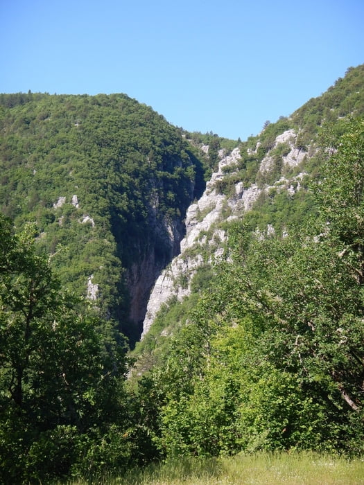

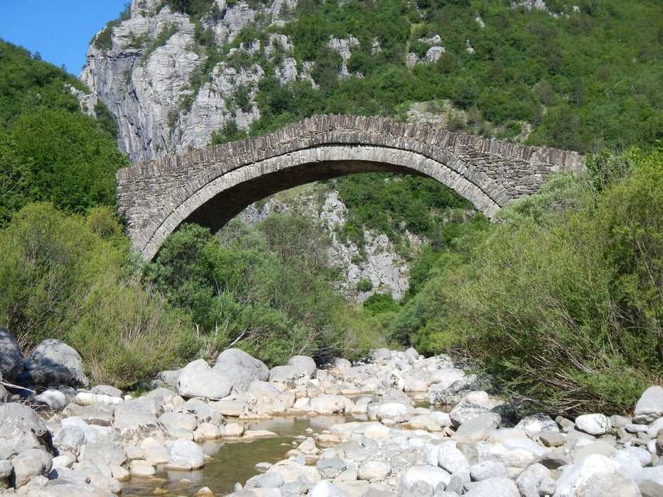
The start of this walk is on the begin of the village Tsepelovo. Follow the dust road in south direction, down the hill, direct to the first bridge Chatsiou. The second bridge Paliogefyro is on the begin of the canyon, 180 meters west of Chatsiou.
From the bridge Chatsiou the trail follow the dust road on the other side, south, up the hill to Kipi.
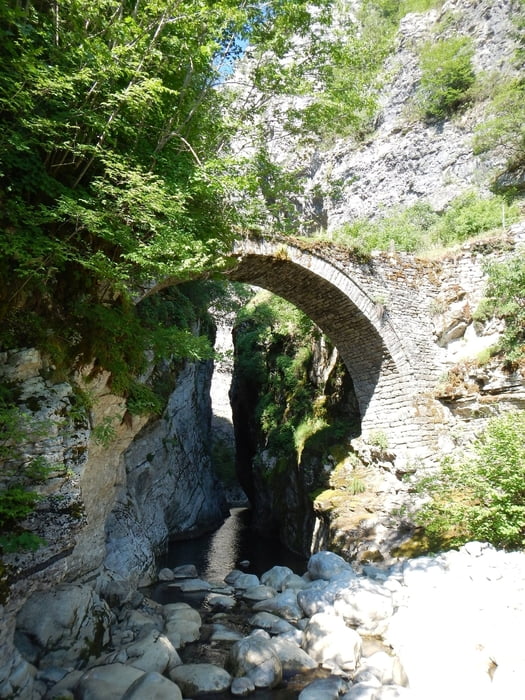
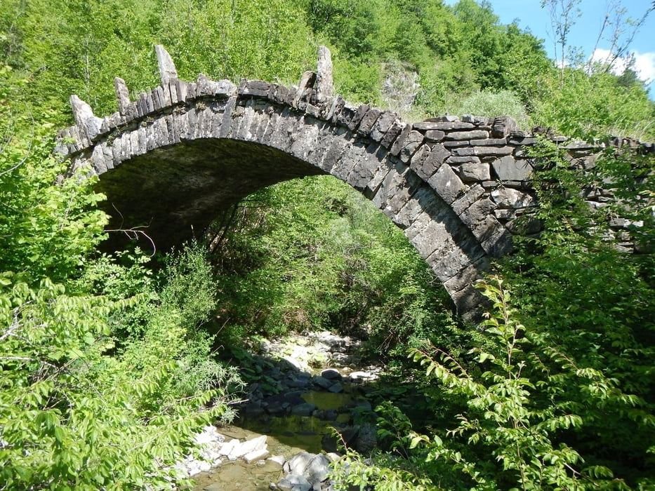
The third bridge Kovatsenas is 400 meter after Chatsiou on the right side.
Be careful, the bridge is behind trees and bushes.
From there the road goes up to the hill. There the road follow the ridge in west direction.
Later down the hill to Kipi.
At point 013 you can go right (like us), or straight (shorter distance to Kipi).
From the bridge Chatsiou the trail follow the dust road on the other side, south, up the hill to Kipi.
The third bridge Kovatsenas is 400 meter after Chatsiou on the right side.
Be careful, the bridge is behind trees and bushes.
From there the road goes up to the hill. There the road follow the ridge in west direction.
Later down the hill to Kipi.
At point 013 you can go right (like us), or straight (shorter distance to Kipi).
Tour gallery
Tour map and elevation profile
Minimum height 750 m
Maximum height 1068 m
More about the tour author

|
Mapdekode |
Comments

More about the tour author
|
|
Mapdekode |
Add to my favorites
Remove from my favorites
Edit tags
Open track
My score
Rate