


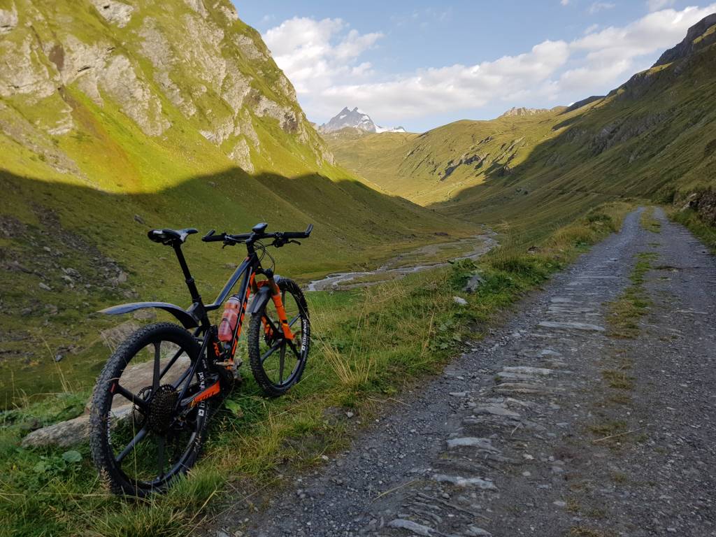
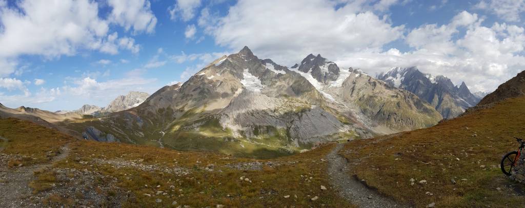
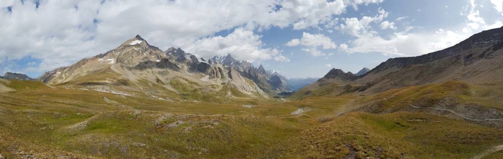
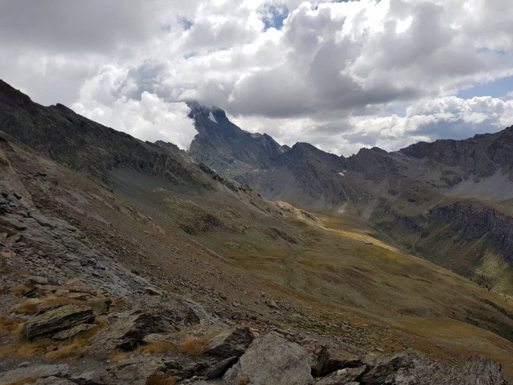
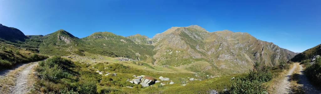
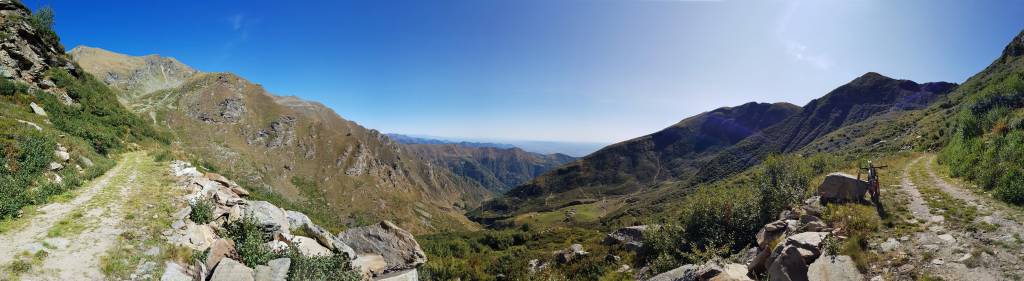
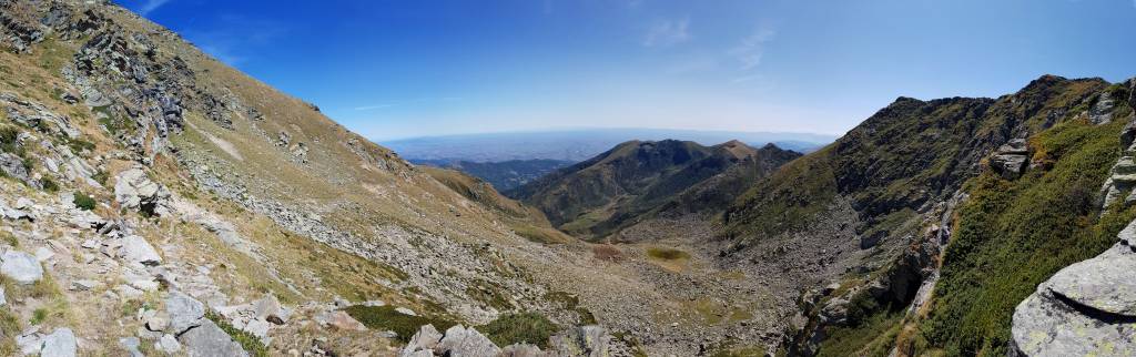
ransalp 2017
Mont Blanc - Stura Tal und zrück
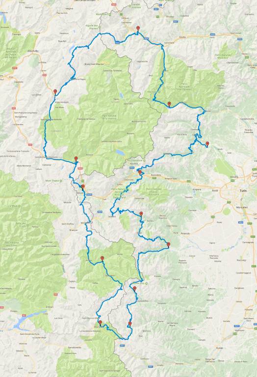
13 Tage, 36.000 hm, 830 km
Download GPX-Datei (speichern mit "speichern unter", 5MB)
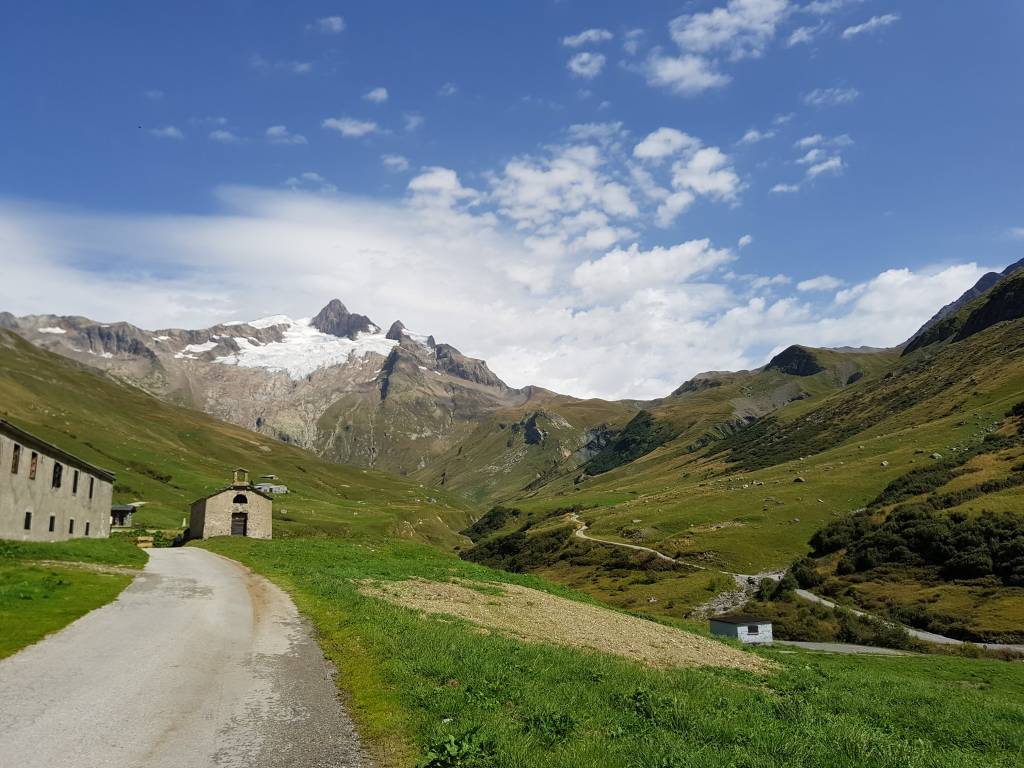
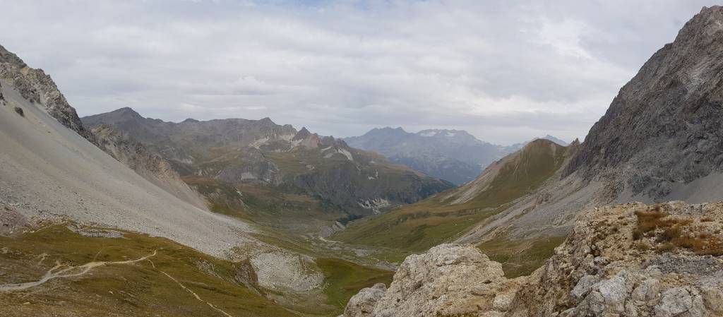
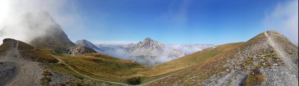
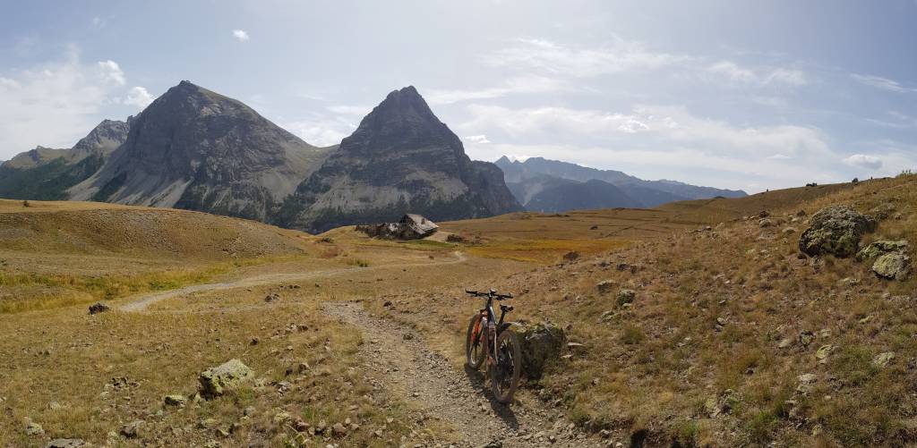
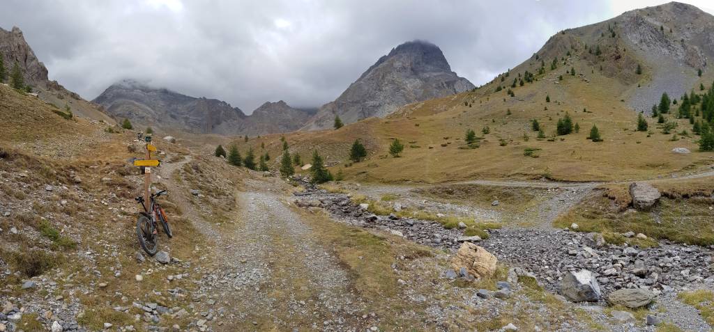
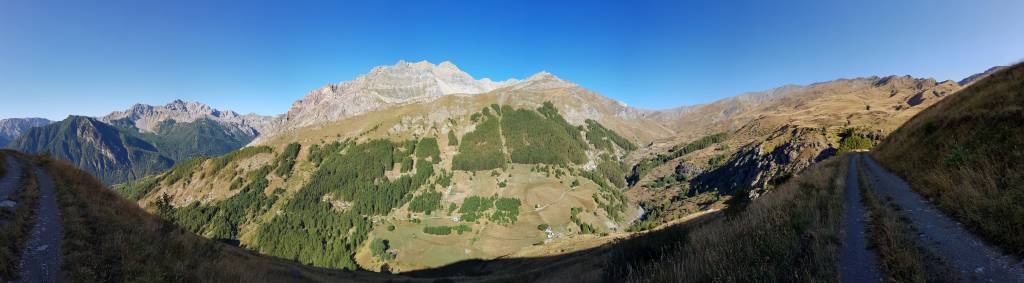
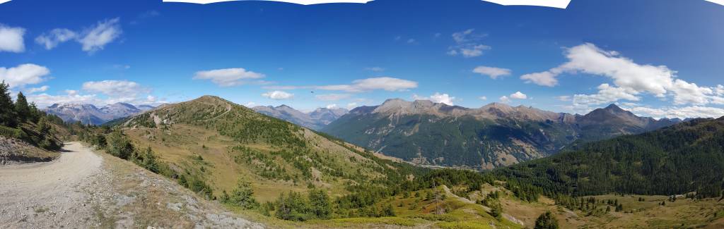
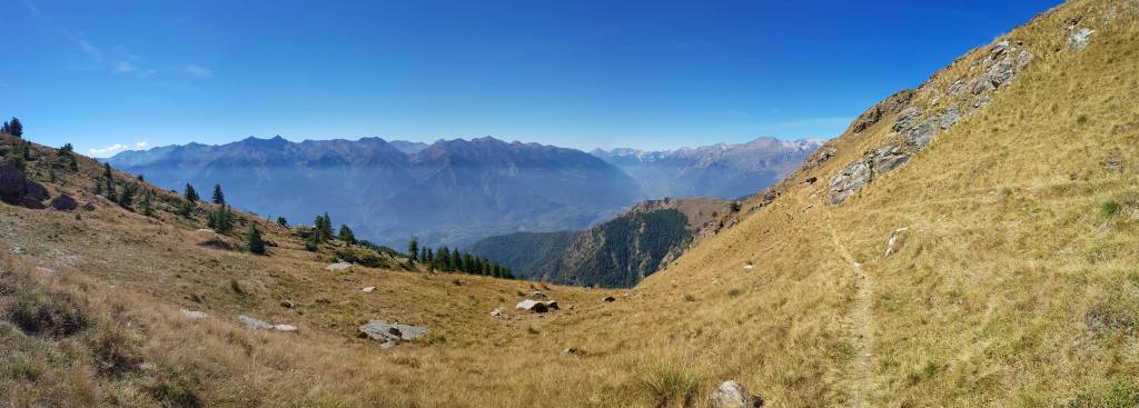
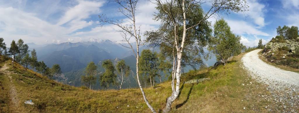
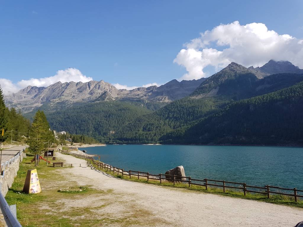
1. Tag: Morgex - Moutiers
109 km, 4.099 hm, 10:57 h
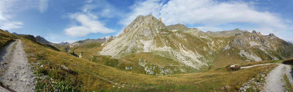
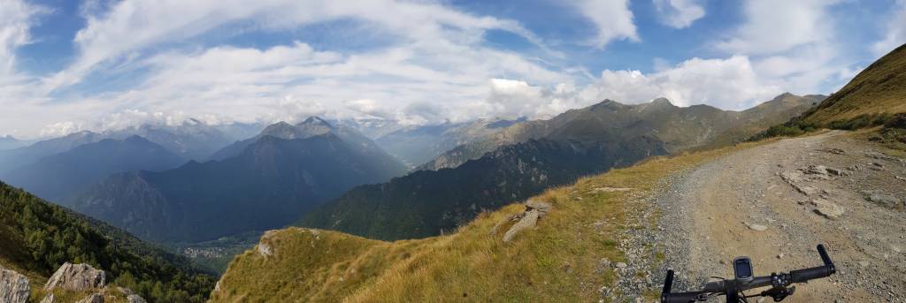
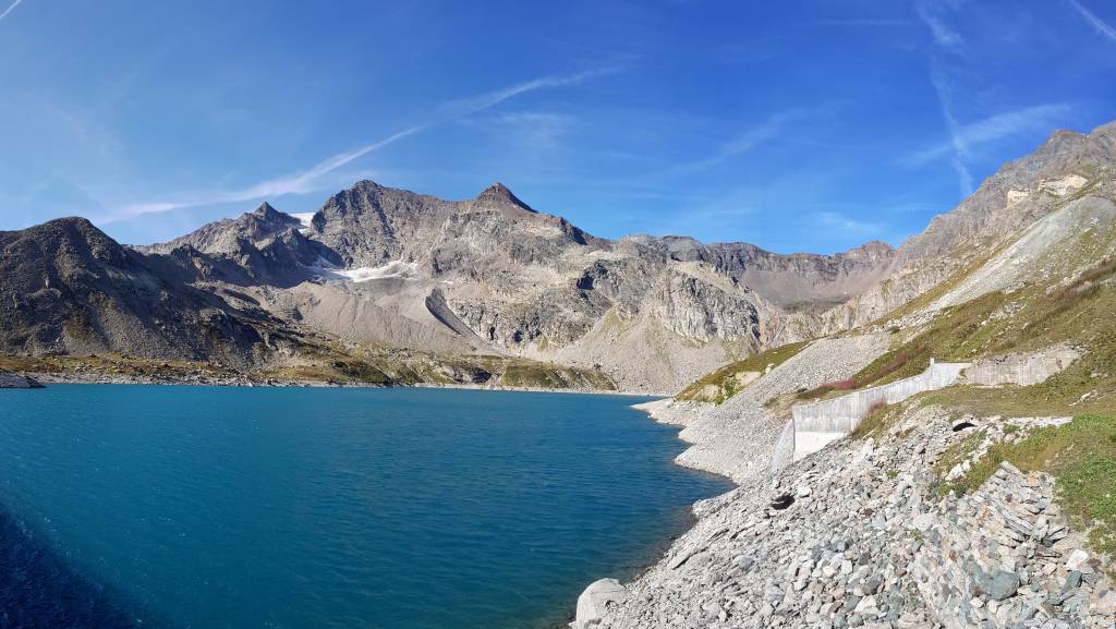
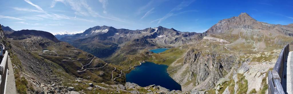
2. Tag: Moutiers - Madone
69 km, 2.490 hm, 6:19h h
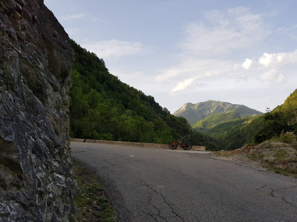
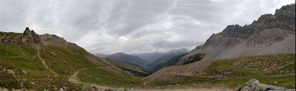
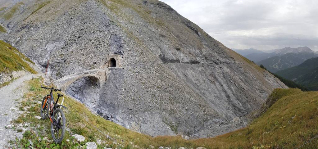
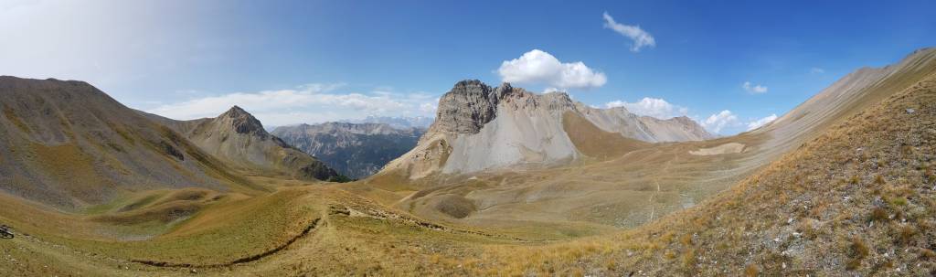
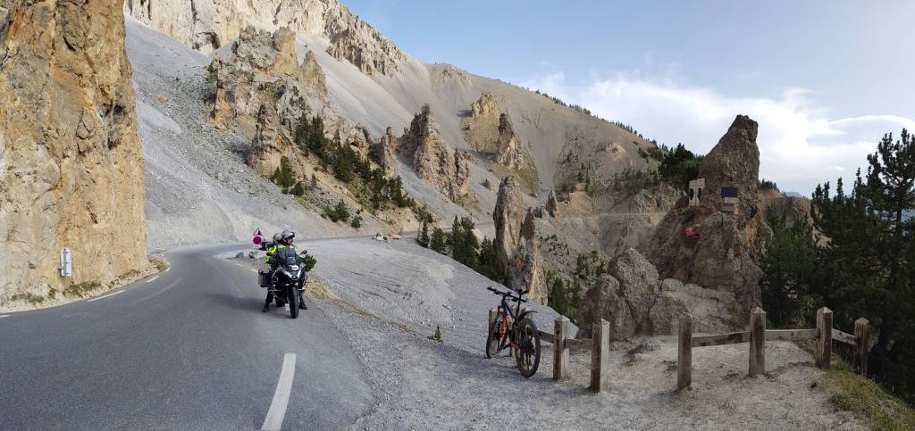
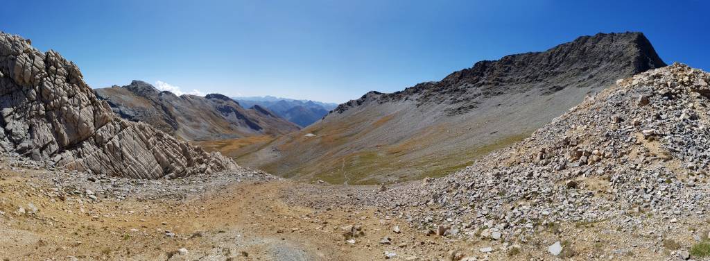
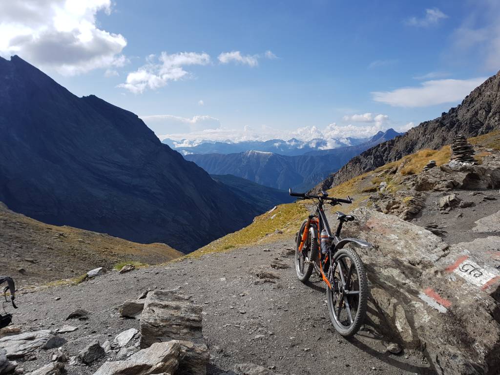
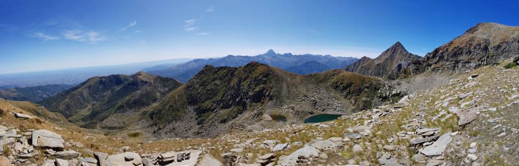
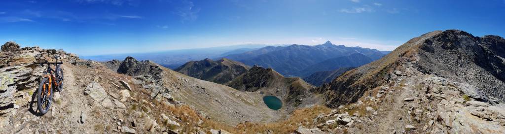
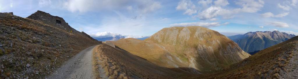
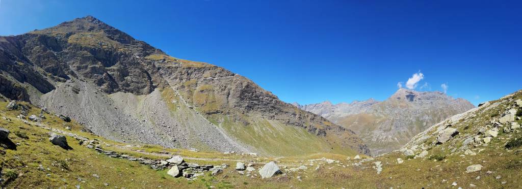
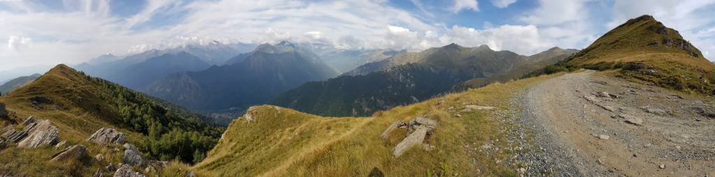
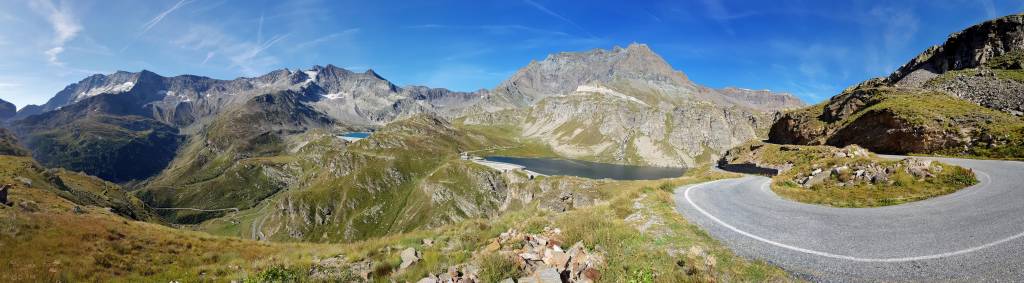
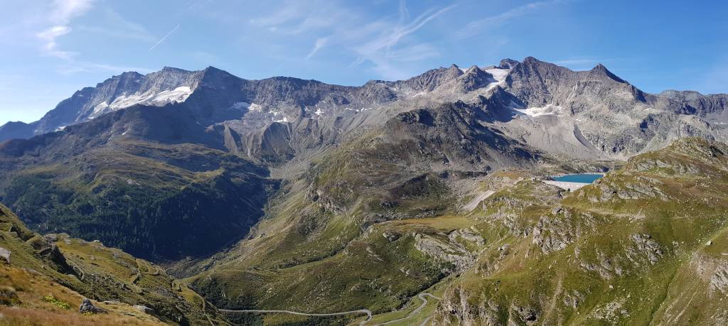
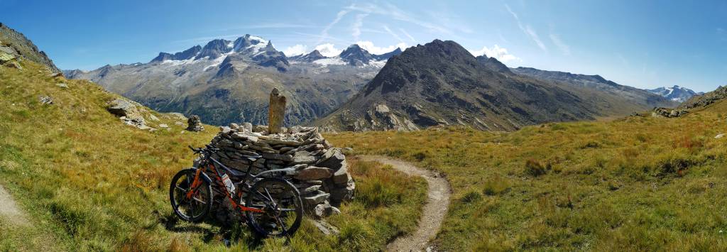
3. Tag: Madone - Bardonecchia
34,7 km, 1.818 hm, 4:35 h
Die Schuhe sind kaputt. Ich muss leider in Bardonecchia Pause machen und neue kaufen.

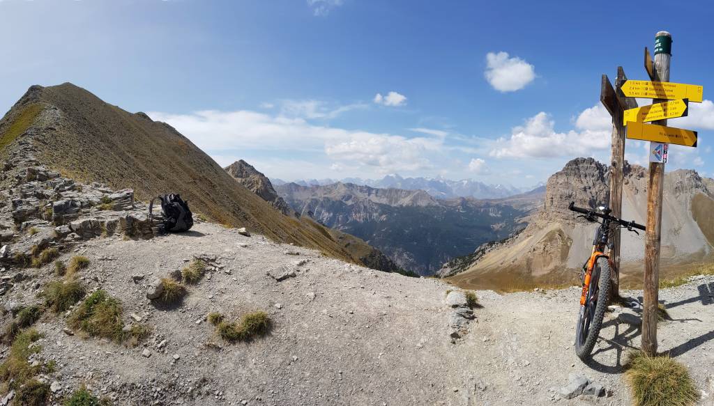
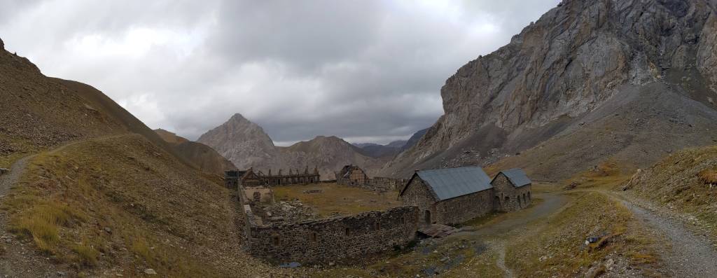
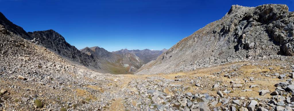
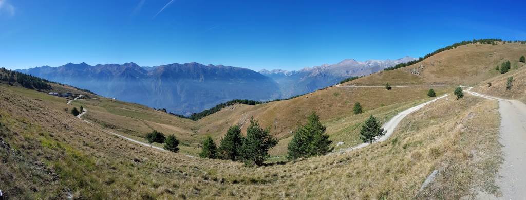
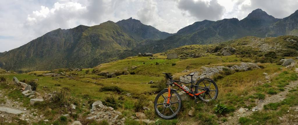
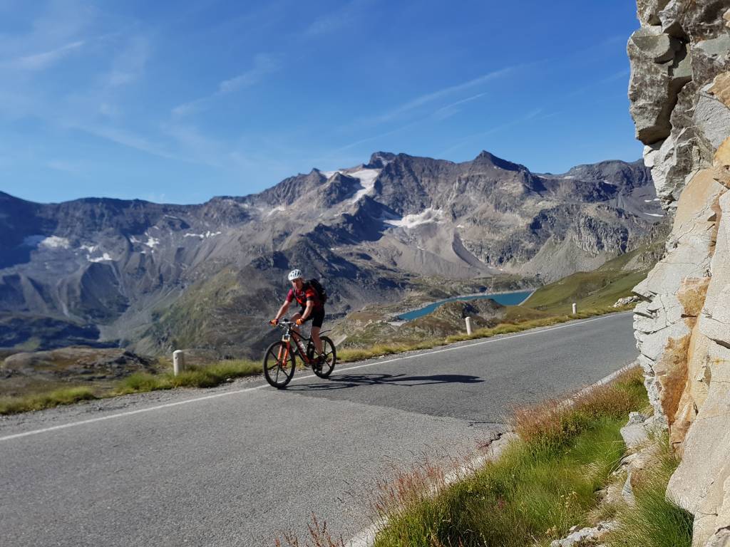
4. Tag: Bardonecchia- Ville-Vieille
74 km, 3.425 hm, 9:00 h
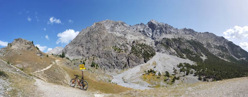
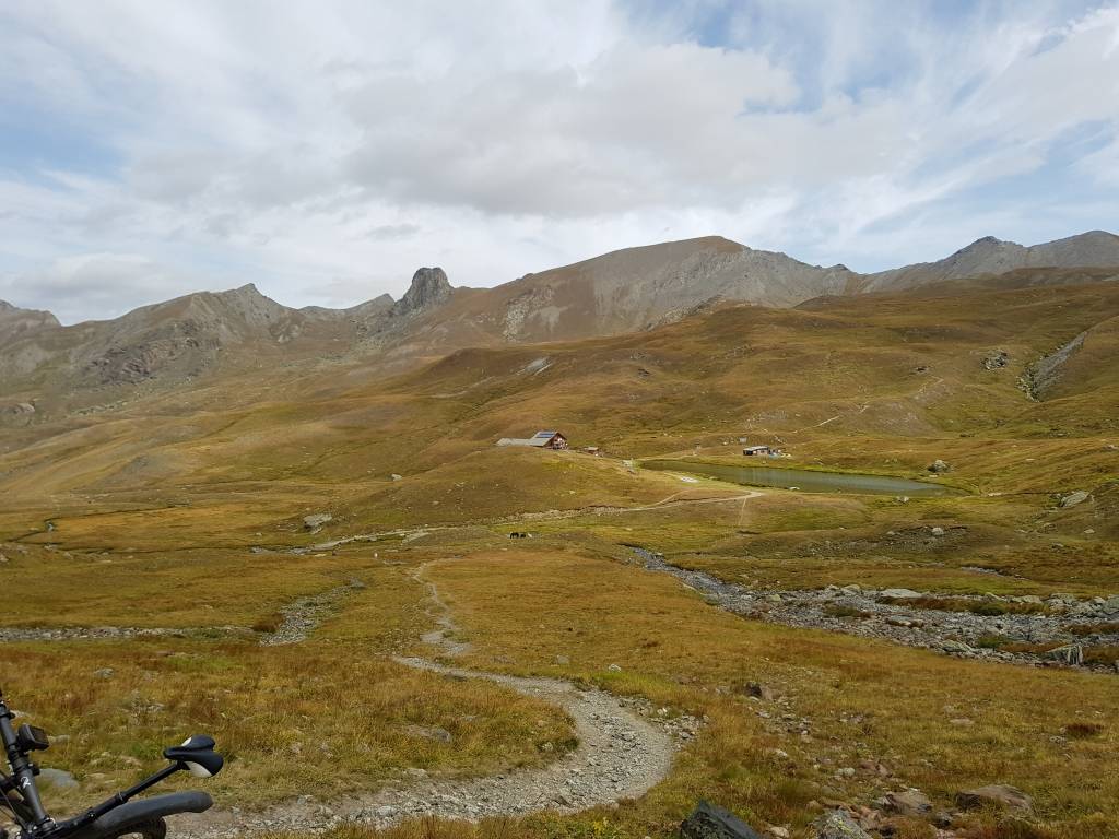
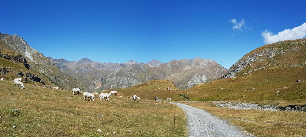
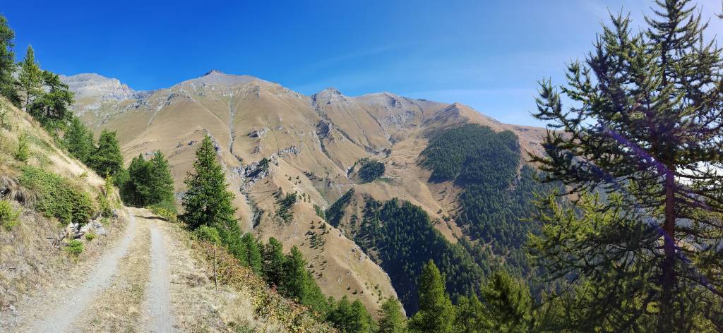
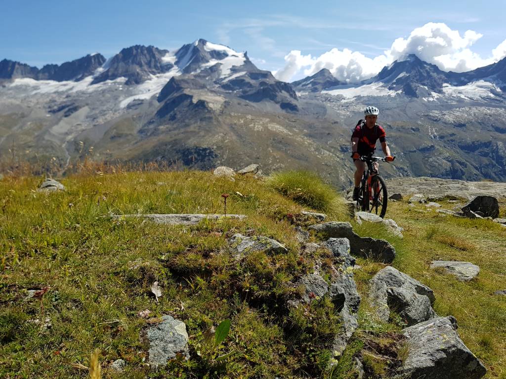
5. Tag: Ville-Vieille- Saint-Ours
55,6 km, 2.773 hm, 7:36 h
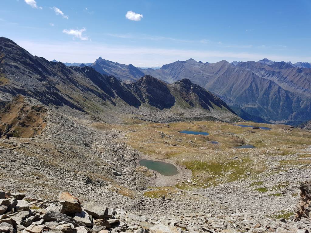
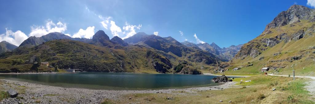
6. Tag: Saint-Ours- Acceglio
37,2km, 2.207 hm, 6:46 h
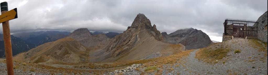
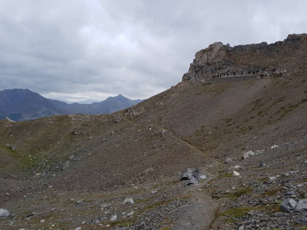
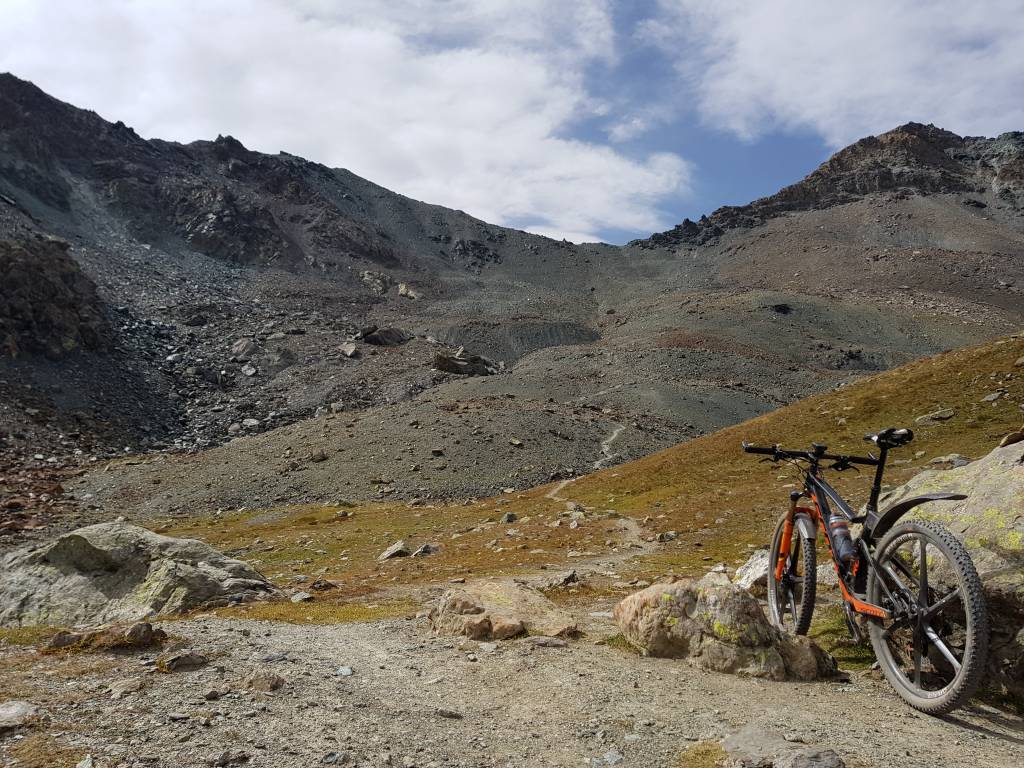
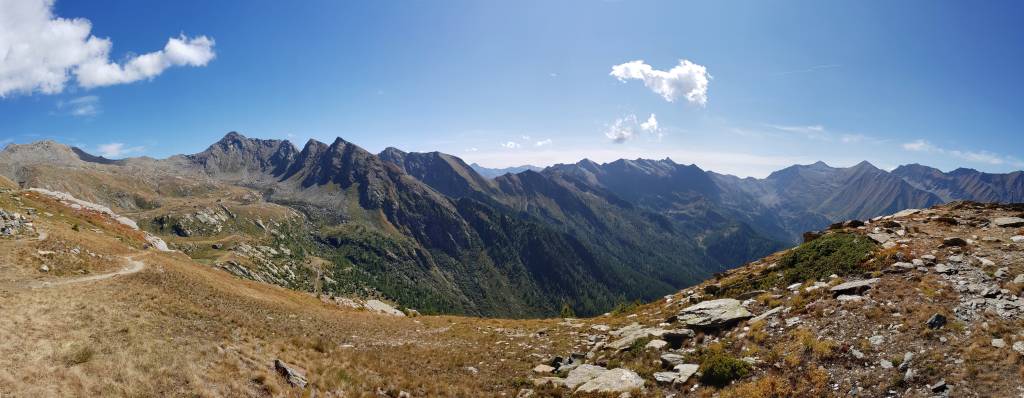
7. Tag: Acceglio - Maddalena
40 km, 2.692 hm, 6:56 h

8. Tag: Maddalena - Torre Pellice
52.4 km, 2.049 hm, 7:43 h
9. Tag: Torre Pellice - Massello
49,8 km, 2.944 hm, 8:04 h
10. Tag: Massello - Susa
81,5 km, 3.112 hm, 9:07 h
11. Tag: Susa - Germagnano
89,9 km, 3.234 hm, 9:00 h
12. Tag: Germagnano - Ceresole Reale
67,9 km, 1.995 hm, 7:51 h
13. Tag: Ceresole Reale- Morgex
73,2 km, 1.994 hm, 6:46 h

Further information at
http://www.dupper.de/index.php?page=transalp-2017Tour gallery
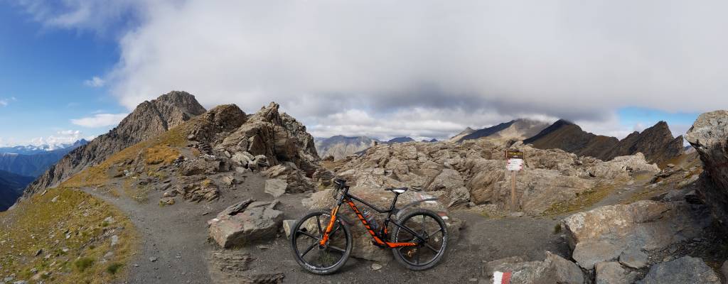
Tour map and elevation profile
Minimum height 457 m
Maximum height 2958 m
More about the tour author

|
TransalpX |
Comments
Mit Bus, Bahn oder Auto nach Morgex oder Courmayeur.
GPS tracks
Trackpoints-
GPX / Garmin Map Source (gpx) download
-
TCX / Garmin Training Center® (tcx) download
-
CRS / Garmin Training Center® (crs) download
-
Google Earth (kml) download
-
G7ToWin (g7t) download
-
TTQV (trk) download
-
Overlay (ovl) download
-
Fugawi (txt) download
-
Kompass (DAV) Track (tk) download
-
Track data sheet (pdf) download
-
Original file of the author (gpx) download
More about the tour author
|
|
TransalpX |
Add to my favorites
Remove from my favorites
Edit tags
Open track
My score
Rate
Transalp Westalpen
Auf deiner Homepage bin ich auf Touren in den Westalpen gestoßen. Da bei einem Start in Martigny mit Ziel Ventimiglia die Rückreise (Zug) sehr Zeitaufwendig ist, würde eine genauer Beschreibung deiner TA 2017 (Fahrbar, schieben, Tragen) interessieren.
Da ich mit meiner Frau unterwegs bin muss ich zum Bsp. Tag1 auf zwei Etappen Teilen. (ca. 2.000 bis 2.500 Hm/Tag) Die Hütten sind ja perfekt eingepflegt (Super)
Wir sind bisher in den Ost-Alpen unterwegs gewesen, meist selbst geplant aus verschiedenen Trak's (BaseCamp) (13 TA)
Fragen: Wasser- und Stromversorgung bei den Hütten, Hüttenschlafsack notwendig, Trinkwasserversorgung, Uhrzeit Frühstück!
Fahren seit Jahren mit Garmin GPS-Geräten und hatte nie Probleme.
Danke und sportliche Grüße aus dem schönen Salzkammergut (Österreich)
j.ablinger@cablevision.at
Johann und Roswitha