Login

Forgot your login?

Cookies have to be accepted!
Your browser's cookie functionality is disabled. Please enable this functionality.

Not a member yet?

Register now
Login

Available for registred users only

Log in to use this feature.

Forgot your login?

Cookies have to be accepted!
Your browser's cookie functionality is disabled. Please enable this functionality.

Not a member yet?

Register now
Filter
Categories
Advanced filters
  • Distance (km)
  • Height
Save filters Reset filter

TrackRank

QRCode

Technical data

Distance29,3 km Height803 m Way down805 m Duration02:20 h:m Date19.09.2017
Scores Author Landscape Fun factor Fitness Technique

Statistics

350 Views Scores 85 Downloads Average
Rate
  • Track data sheet
  • Directions
  • Downloads
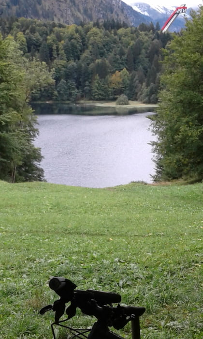
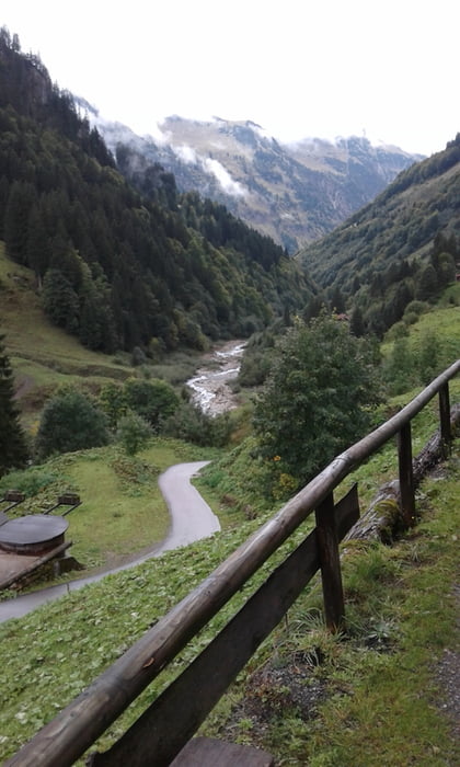
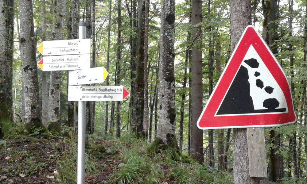
vom Haus Bergfrieden hinunter ins Trettachtal. Trettachtal weiter ins Stillachtal und kurz vor dem Traufbach links hoch. Sehr steil (steht Schild: für MTB nicht geeignet). Kurzes Schiebe- oder Tragestück dann relativ flach weiter bis zur Auffahrt zur Alpe. Zur Alpe hinauf (max. 29%), Brotzeit gemacht und wieder hinunter. Aufgrund der Witterung (starker Regen) bin ich die Straße weiter hoch gefahren (max. 19%) anstatt das Schiebestück vom Aufstieg hinunter. Stillachtal wieder zurück zur Skiflugschanze und hinauf zum Feibergsee. Steiles Schotterstück hinunter und wieder zurück zum Haus Bergfrieden. Kurz vorher gehts noch einmal eine steile Rampe hoch  (18%)

Further information at

https://www.christusbund.de/oberstdorf

Tour gallery

Tour map and elevation profile

  • Open Street Map
  • Google
Minimum height 795 m Maximum height 1271 m Detailed view

More about the tour author

Fruehaufsteher
Member since 2008

Send private message

Comments

GPS tracks

Trackpoints
  • GPX / Garmin Map Source (gpx) download
  • TCX / Garmin Training Center® (tcx) download
  • CRS / Garmin Training Center® (crs) download
  • Google Earth (kml) download
  • G7ToWin (g7t) download
  • TTQV (trk) download
  • Overlay (ovl) download
  • Fugawi (txt) download
  • Kompass (DAV) Track (tk) download
  • Track data sheet (pdf) download
  • Original file of the author (gpx) download

More about the tour author

Fruehaufsteher
Member since 2008

Send private message
Share track
Add to my favorites
Remove from my favorites
Edit tags
My score
Rate
Track: Oberstdorf - EMTB - Hintere Traufbergalpe - Freibergsee
Type: Mountain bike
Distance: 29,3 km
Evaluated on:
Duration:
Day(s)
Hour(s)
Minute(s)
Score: Landscape Fun factor Fitness Technique