Login

Forgotten password?

Cookies have to be accepted!
Your browser's cookie functionality is disabled. Please enable this functionality.

Not a member yet?

Register now
Login

Available for registred users only

Log in to use this feature.

Forgotten password?

Cookies have to be accepted!
Your browser's cookie functionality is disabled. Please enable this functionality.

Not a member yet?

Register now
Filter
Categories
Advanced filters
  • Distance (km)
  • Height
Save filters Reset filter

TrackRank

QRCode

Technical data

Distance32,7 km Height941 m Way down943 m Duration02:50 h:m Date22.09.2017
Scores Author Landscape Fun factor Fitness Technique

Statistics

307 Views Scores 132 Downloads Average
Rate
  • Track data sheet
  • Directions
  • Downloads
vom Haus Bergfrieden hinunter nach Oberstdorf und Richtung Tiefenbach-Breitachklamm. Dann rechts hoch Richtung Schwende - Riezlern. auf einem Höhenweg und anschliessendem Kiesweg nach Riezlern. Hier hinauf zum Söllereck. Ab hier beginnt der spannendere Teil. 2 Trails (S3 manchmal S4) steil mit Stufen und Spitzkehren, aber zu 90% von mir fahrbar. Ich bin dann am Freibergsee rausgekommen und von hier dann wieder unspektulär zurück zur Unterkunft.
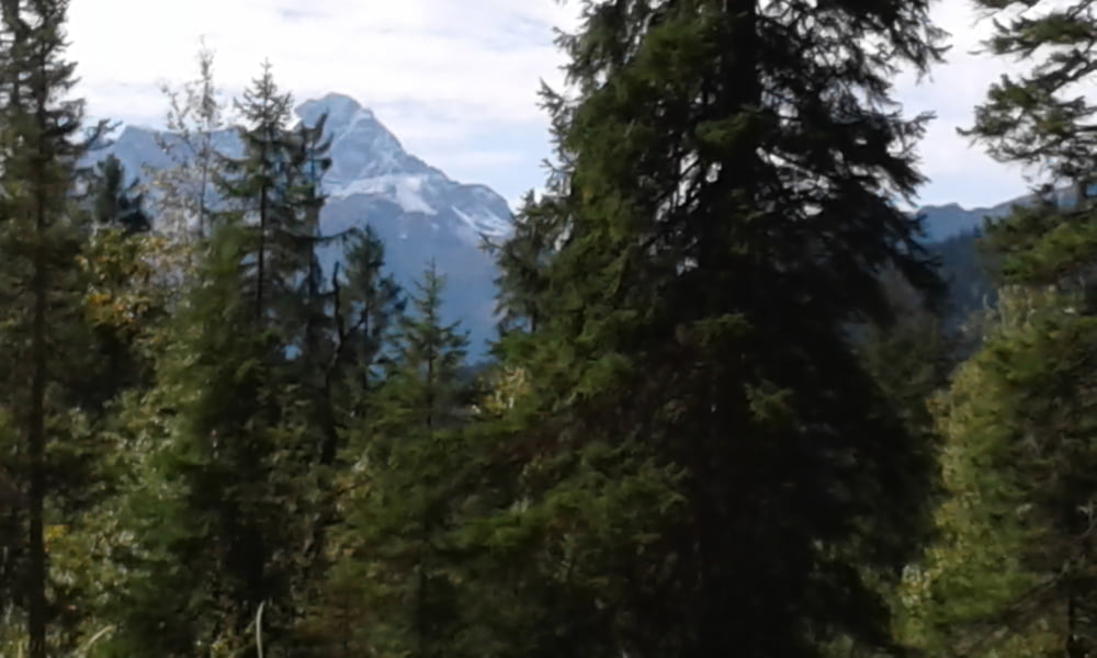
Tour gallery

Tour map and elevation profile

  • Open Street Map
  • Google
Minimum height 783 m Maximum height 1406 m Detailed view

More about the tour author

Fruehaufsteher
Member since 2008

Send private message

Comments

GPS tracks

Trackpoints
  • GPX / Garmin Map Source (gpx) download
  • TCX / Garmin Training Center® (tcx) download
  • CRS / Garmin Training Center® (crs) download
  • Google Earth (kml) download
  • G7ToWin (g7t) download
  • TTQV (trk) download
  • Overlay (ovl) download
  • Fugawi (txt) download
  • Kompass (DAV) Track (tk) download
  • Track data sheet (pdf) download
  • Original file of the author (gpx) download

More about the tour author

Fruehaufsteher
Member since 2008

Send private message
Share track
Add to my favorites
Remove from my favorites
Edit tags
My score
Rate
Track: Oberstdorf - EMTB - 2 Ländertour
Type: Mountain bike
Distance: 32,7 km
Evaluated on:
Duration:
Day(s)
Hour(s)
Minute(s)
Score: Landscape Fun factor Fitness Technique