Login

Forgotten password?

Cookies have to be accepted!
Your browser's cookie functionality is disabled. Please enable this functionality.

Not a member yet?

Register now
Login

Available for registred users only

Log in to use this feature.

Forgotten password?

Cookies have to be accepted!
Your browser's cookie functionality is disabled. Please enable this functionality.

Not a member yet?

Register now
Filter
Categories
Advanced filters
  • Distance (km)
  • Height
Save filters Reset filter

TrackRank

QRCode

Technical data

Distance41,6 km Height1126 m Way down1123 m Duration04:54 h:m Date14.10.2017
Scores Author Landscape Fun factor Fitness Technique

Statistics

203 Views Scores 7 Downloads Average
Rate
  • Track data sheet
  • Directions
  • Downloads
Przełęcz Knurowska-Studzionki-Szlembark-Harklowa-Łopuszna-Waksmund-Nowy Targ-Kowaniec-szlak rowerowy czerwony-Turbacz-Przełęcz Długa-Kiczora-Rąbaniska-Przełęcz Knurowska.
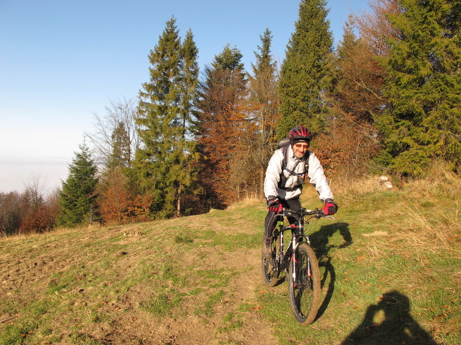
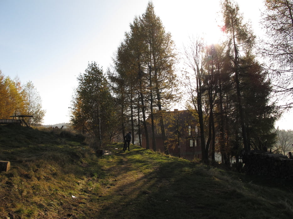
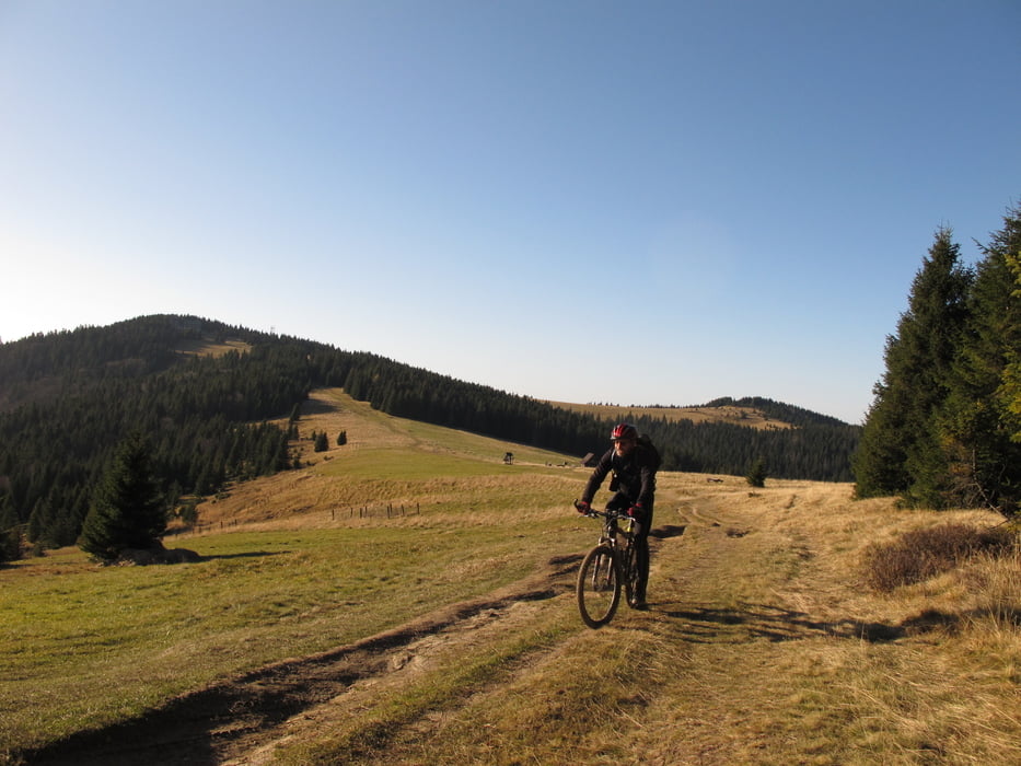
Tour gallery

Tour map and elevation profile

  • Open Street Map
  • Google
Minimum height 621 m Maximum height 1356 m Detailed view

More about the tour author

Wicherek
Member since 2017

Send private message

Comments

Nowy Sącz-Stary Sącz-Jazowsko-Łącko-Ochotnica Górna-Przełęcz Knurowska

GPS tracks

Trackpoints
  • GPX / Garmin Map Source (gpx) download
  • TCX / Garmin Training Center® (tcx) download
  • CRS / Garmin Training Center® (crs) download
  • Google Earth (kml) download
  • G7ToWin (g7t) download
  • TTQV (trk) download
  • Overlay (ovl) download
  • Fugawi (txt) download
  • Kompass (DAV) Track (tk) download
  • Track data sheet (pdf) download
  • Original file of the author (gpx) download

More about the tour author

Wicherek
Member since 2017

Send private message
Share track
Add to my favorites
Remove from my favorites
Edit tags
My score
Rate
Track: Turbacz
Type: Mountain bike
Distance: 41,6 km
Evaluated on:
Duration:
Day(s)
Hour(s)
Minute(s)
Score: Landscape Fun factor Fitness Technique