Login

Forgot your login?

Cookies have to be accepted!
Your browser's cookie functionality is disabled. Please enable this functionality.

Not a member yet?

Register now
Login

Available for registred users only

Log in to use this feature.

Forgot your login?

Cookies have to be accepted!
Your browser's cookie functionality is disabled. Please enable this functionality.

Not a member yet?

Register now
Filter
Categories
Advanced filters
  • Distance (km)
  • Height
Save filters Reset filter

TrackRank

QRCode

Technical data

Distance11,9 km Height291 m Way down240 m Duration05:30 h:m Date22.10.2017
Scores Author Landscape Fun factor Fitness Technique

Statistics

233 Views Scores 23 Downloads Average
Rate
  • Track data sheet
  • Directions
  • Downloads
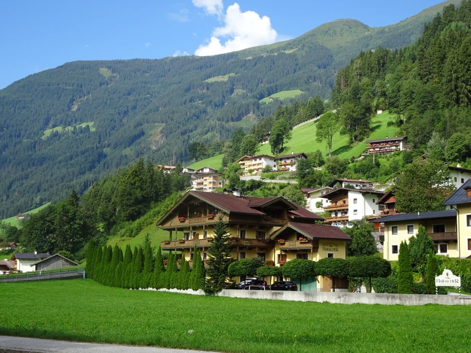
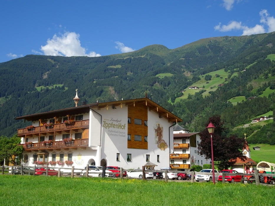
Vom Ausgangspunkt, dem Bahnhof von Zell am Ziller geht es zunächst über den Fluss. Wir benutzen den immer am westlichen Ufer entlangführenden Weg bis in Höhe des Zillertaler Regionalmuseums (ebenfalls einen Besuch wert). Wir biegen nach rechts ab und gehen immer den Markierungen folgend zum Talbachwasserfall. Anschließend steigen wir wieder ab bis zum Uferweg, dem wir bis nach Mayrhofen folgen.

Tour gallery

Tour map and elevation profile

  • Open Street Map
  • Google
Minimum height 571 m Maximum height 741 m Detailed view

More about the tour author

Ingo-Dessau
Member since 2013

Send private message

Comments

Auf der Bundesstraße 169 bis nach Zell am Ziller und zum Parkplatz am Bahnhof. Rückfahrt mit der Zillertalbahn.

GPS tracks

Trackpoints
  • GPX / Garmin Map Source (gpx) download
  • TCX / Garmin Training Center® (tcx) download
  • CRS / Garmin Training Center® (crs) download
  • Google Earth (kml) download
  • G7ToWin (g7t) download
  • TTQV (trk) download
  • Overlay (ovl) download
  • Fugawi (txt) download
  • Kompass (DAV) Track (tk) download
  • Track data sheet (pdf) download
  • Original file of the author (gpx) download

More about the tour author

Ingo-Dessau
Member since 2013

Send private message
Share track
Add to my favorites
Remove from my favorites
Edit tags
My score
Rate
Track: Zillerpromenade und Talbachwasserfall
Type: Hiking
Distance: 11,9 km
Evaluated on:
Duration:
Day(s)
Hour(s)
Minute(s)
Score: Landscape Fun factor Fitness Technique