


Rundkurs durch den Speckgürtel um München von Dachau über Oberschleißheim, Garching, Ismaning, Aschheim, Feldkirchen, Haar, Neubiberg, Unterhaching, Pullach, Gauting, Germering, Alling, Fürstenfeldbruck und Olching zurück nach Dachau.
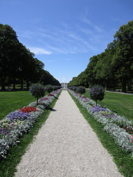
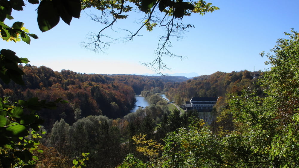
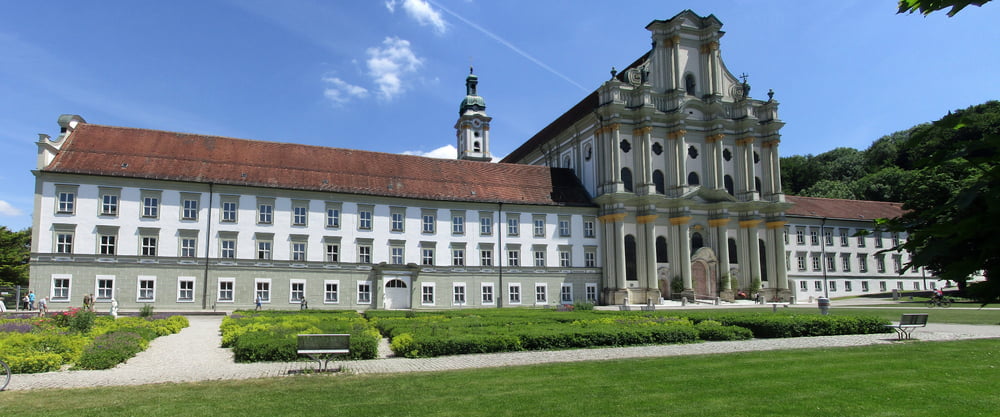
Ich bin den Kurs in zwei Etappen im Uhrzeigersinn gefahren. Im Süden geht es auch durch ausgedehnte Waldgebiete: dem Perlacher Forst, Forstenrieder Park und Kreuzlinger Forst. An der Strecke liegen zum Beispiel das Neue Schloss Schleißheim und das Kloster Fürstenfeld.
Weitere Radwege:
- Isar-Radweg Quelle-Mündung
- Ammer-Amper-Radweg Oberammergau-Moosburg
- Ammersee-Radweg Bad Wörishofen-München
- Mangfall-Radweg Rosenheim-München
- Panoramaradweg-Isar-Inn: Wasserburg-München
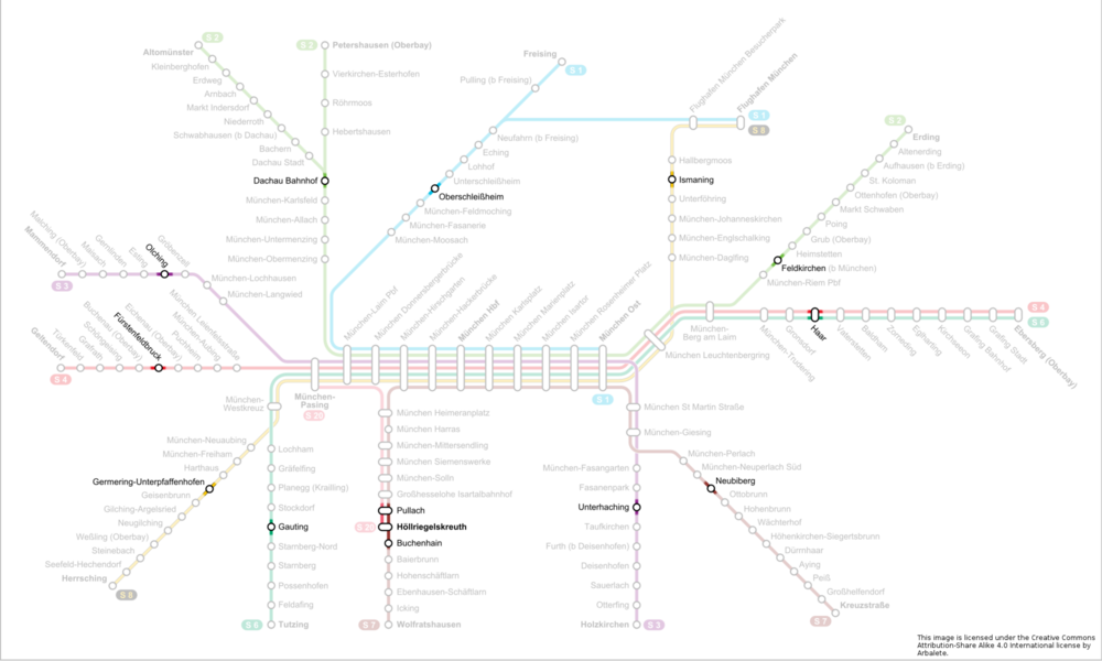
Der Rundkurs ist mit dem MVV an allen stadtauswärtsfahrenden Linien zu erreichen:
S1 Oberschleißheim
S2 Dachau / Feldkirchen
S3 Olching / Unterhaching
S4 Fürstenfeldbruck / Haar
S6 Gauting / Haar
S7 Pullach, Höllriegelskreuth, Buchenhain / Neubiberg
S8 Germering-Unterpfaffenhofen / Ismaning
Further information at
http://per-pedale.blogspot.de/Tour gallery
Tour map and elevation profile
Minimum height 477 m
Maximum height 621 m
More about the tour author
|
|
Alu68 |
Comments

Der Rundkurs ist mit dem MVV an allen stadtauswärtsfahrenden Linien zu erreichen:
S1 Oberschleißheim
S2 Dachau / Feldkirchen
S3 Olching / Unterhaching
S4 Fürstenfeldbruck / Haar
S6 Gauting / Haar
S7 Pullach, Höllriegelskreuth, Buchenhain / Neubiberg
S8 Germering-Unterpfaffenhofen / Ismaning
GPS tracks
Trackpoints-
GPX / Garmin Map Source (gpx) download
-
TCX / Garmin Training Center® (tcx) download
-
CRS / Garmin Training Center® (crs) download
-
Google Earth (kml) download
-
G7ToWin (g7t) download
-
TTQV (trk) download
-
Overlay (ovl) download
-
Fugawi (txt) download
-
Kompass (DAV) Track (tk) download
-
Track data sheet (pdf) download
-
Original file of the author (gpx) download
More about the tour author
|
|
Alu68 |
Add to my favorites
Remove from my favorites
Edit tags
Open track
My score
Rate