Login

Forgotten password?

Cookies have to be accepted!
Your browser's cookie functionality is disabled. Please enable this functionality.

Not a member yet?

Register now
Login

Available for registred users only

Log in to use this feature.

Forgotten password?

Cookies have to be accepted!
Your browser's cookie functionality is disabled. Please enable this functionality.

Not a member yet?

Register now
Filter
Categories
Advanced filters
  • Distance (km)
  • Height
Save filters Reset filter

TrackRank

QRCode

Technical data

Distance44,6 km Height1690 m Way down1649 m Duration03:30 h:m Date24.10.2017
Scores Author Landscape Fun factor Fitness Technique

Statistics

497 Views Scores 110 Downloads Average
Rate
  • Track data sheet
  • Directions
  • Downloads
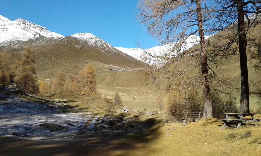
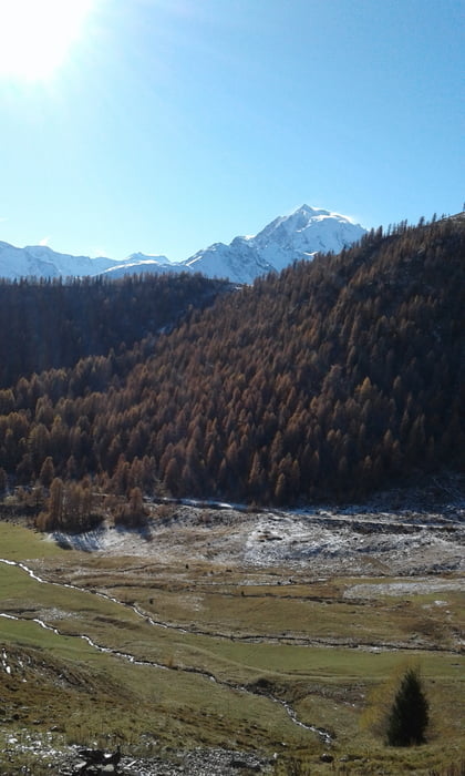
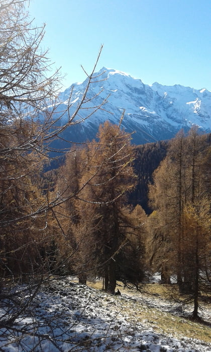
Vom Romatikhotel Weisses Kreuz nach Mals zum Bahnhof und zu Südtirolbike. Mit dem Shuttle weiter nach Prad und hinauf nach Stilfs und noch ein Stückchen weiter. Dann mit dem Bike eine Almenweg hinauf zur Stilfser Alm. Ncoh ein Stück hoch auf einem Trail (teilweise schieben) zum Einstieg in den 7 Brunnentrail (S2). Von hier hinab nach Prad und auf dem Radweg zurück nach Burgeis.

Further information at

https://www.suedtirolbike.info/

Tour gallery

Tour map and elevation profile

  • Open Street Map
  • Google
Minimum height 903 m Maximum height 2180 m Detailed view

More about the tour author

Fruehaufsteher
Member since 2008

Send private message

Comments

GPS tracks

Trackpoints
  • GPX / Garmin Map Source (gpx) download
  • TCX / Garmin Training Center® (tcx) download
  • CRS / Garmin Training Center® (crs) download
  • Google Earth (kml) download
  • G7ToWin (g7t) download
  • TTQV (trk) download
  • Overlay (ovl) download
  • Fugawi (txt) download
  • Kompass (DAV) Track (tk) download
  • Track data sheet (pdf) download
  • Original file of the author (gpx) download

More about the tour author

Fruehaufsteher
Member since 2008

Send private message
Share track
Add to my favorites
Remove from my favorites
Edit tags
My score
Rate
Track: Vinschgau - EMTB - 7 Brunnentrail
Type: Mountain bike
Distance: 44,6 km
Evaluated on:
Duration:
Day(s)
Hour(s)
Minute(s)
Score: Landscape Fun factor Fitness Technique