Login

Forgot your login?

Cookies have to be accepted!
Your browser's cookie functionality is disabled. Please enable this functionality.

Not a member yet?

Register now
Login

Available for registred users only

Log in to use this feature.

Forgot your login?

Cookies have to be accepted!
Your browser's cookie functionality is disabled. Please enable this functionality.

Not a member yet?

Register now
Filter
Categories
Advanced filters
  • Distance (km)
  • Height
Save filters Reset filter

TrackRank

QRCode

Technical data

Distance14,7 km Height382 m Way down256 m Duration00:00 h:m Date30.10.2017
Scores Author Landscape Fun factor Fitness Technique

Statistics

782 Views Scores 3 Downloads Average
Rate
  • Track data sheet
  • Directions
  • Downloads
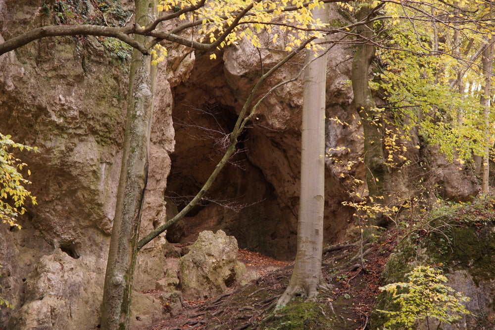
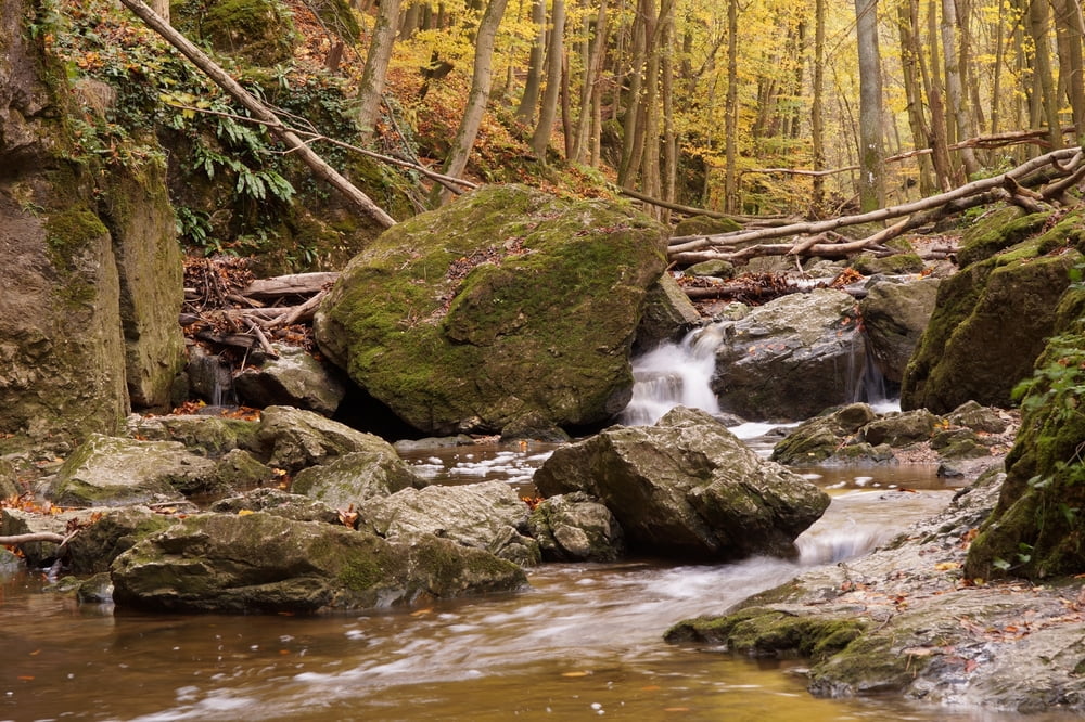
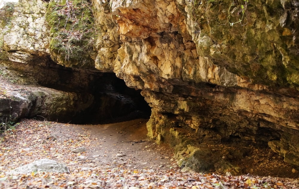
Bakonyszentkirályról egy darabig a műút mellett. A szurdok magas vízállásnál nehezen járható. Vinyén a kitérő egy büféhez, étteremhez, pihenőhöz vezet. Vinyétől a hegyen át Csesznekig.

Tour gallery

Tour map and elevation profile

  • Open Street Map
  • Google
Minimum height 172 m Maximum height 509 m Detailed view

More about the tour author

Tulilui
Member since 2017

Send private message

Comments

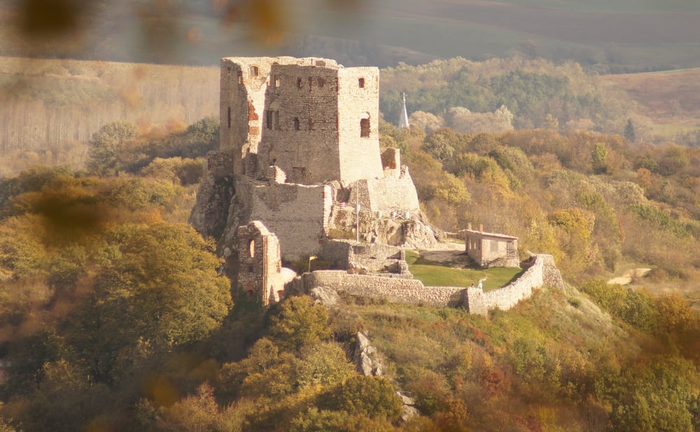
Bakonyszentkirály és Csesznek a 82-es út mellett van.

GPS tracks

Trackpoints
  • GPX / Garmin Map Source (gpx) download
  • TCX / Garmin Training Center® (tcx) download
  • CRS / Garmin Training Center® (crs) download
  • Google Earth (kml) download
  • G7ToWin (g7t) download
  • TTQV (trk) download
  • Overlay (ovl) download
  • Fugawi (txt) download
  • Kompass (DAV) Track (tk) download
  • Track data sheet (pdf) download
  • Original file of the author (gpx) download

More about the tour author

Tulilui
Member since 2017

Send private message
Share track
Add to my favorites
Remove from my favorites
Edit tags
My score
Rate
Track: Alsó-Cuha szurdok
Type: Sledge
Distance: 14,7 km
Evaluated on:
Duration:
Day(s)
Hour(s)
Minute(s)
Score: Landscape Fun factor Fitness Technique