Login

Forgot your login?

Cookies have to be accepted!
Your browser's cookie functionality is disabled. Please enable this functionality.

Not a member yet?

Register now
Login

Available for registred users only

Log in to use this feature.

Forgot your login?

Cookies have to be accepted!
Your browser's cookie functionality is disabled. Please enable this functionality.

Not a member yet?

Register now
Filter
Categories
Advanced filters
  • Distance (km)
  • Height
Save filters Reset filter

TrackRank

QRCode

Technical data

Distance40,9 km Height397 m Way down398 m Duration00:00 h:m Date17.02.2018
Scores Author Landscape Fun factor Fitness Technique

Statistics

302 Views Scores 28 Downloads Average
Rate
  • Track data sheet
  • Directions
  • Downloads
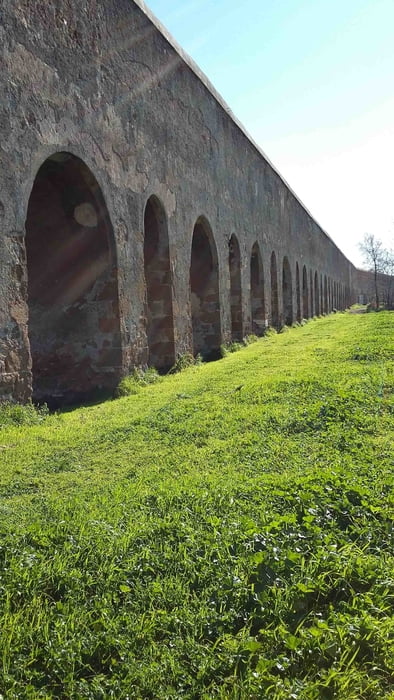
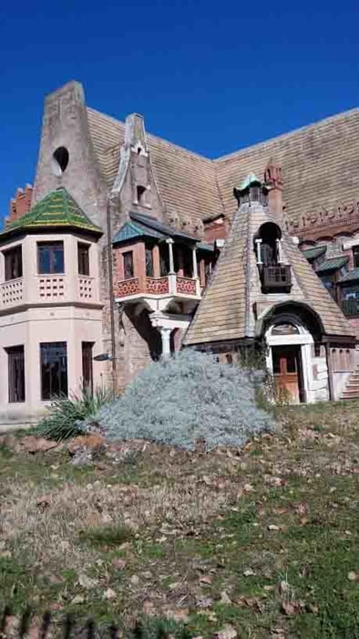
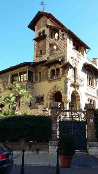
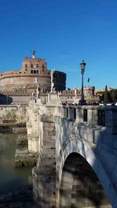
itinerario sia su asfalto   spesso sconesso con buche pericolose che sterrato  con passaggi su strade trafficate  ma la natura e la storia merita il rischio passaggio  a Tor Fiscale  parco e villa Torlonia  quartiere Coppedè  parco e villa Ada  
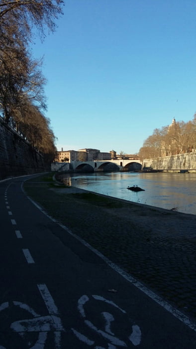
Tour gallery

Tour map and elevation profile

  • Open Street Map
  • Google
Minimum height 7 m Maximum height 85 m Detailed view

More about the tour author

bettoliroberto
Member since 2010

Send private message

Comments

GPS tracks

Trackpoints
  • GPX / Garmin Map Source (gpx) download
  • TCX / Garmin Training Center® (tcx) download
  • CRS / Garmin Training Center® (crs) download
  • Google Earth (kml) download
  • G7ToWin (g7t) download
  • TTQV (trk) download
  • Overlay (ovl) download
  • Fugawi (txt) download
  • Kompass (DAV) Track (tk) download
  • Track data sheet (pdf) download
  • Original file of the author (gpx) download

More about the tour author

bettoliroberto
Member since 2010

Send private message
Share track
Add to my favorites
Remove from my favorites
Edit tags
My score
Rate
Track: acquedotti e parchi romani
Type: Mountain bike
Distance: 40,9 km
Evaluated on:
Duration:
Day(s)
Hour(s)
Minute(s)
Score: Landscape Fun factor Fitness Technique