Login

Forgot your login?

Cookies have to be accepted!
Your browser's cookie functionality is disabled. Please enable this functionality.

Not a member yet?

Register now
Login

Available for registred users only

Log in to use this feature.

Forgot your login?

Cookies have to be accepted!
Your browser's cookie functionality is disabled. Please enable this functionality.

Not a member yet?

Register now
Filter
Categories
Advanced filters
  • Distance (km)
  • Height
Save filters Reset filter

TrackRank

QRCode

Technical data

Distance9,6 km Height538 m Way down523 m Duration03:15 h:m Date31.05.2018
Scores Author Landscape Fun factor Fitness Technique

Statistics

213 Views Scores 31 Downloads Average
Rate
  • Track data sheet
  • Directions
  • Downloads

Von Tegernsee geht es den geteerten Gschwandlerweg mitunter steil bergauf bis wir links in den Wald abbiegen und dann wieder am Parkplatz Neureuth (900m) rauskommen (140Hm, 1,5km).

Von dort der Ausschilderung Neureuth folgen (Westerhofweg) und dann hoch zum Berggasthof Neureuth (1264m)

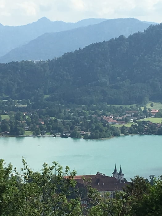
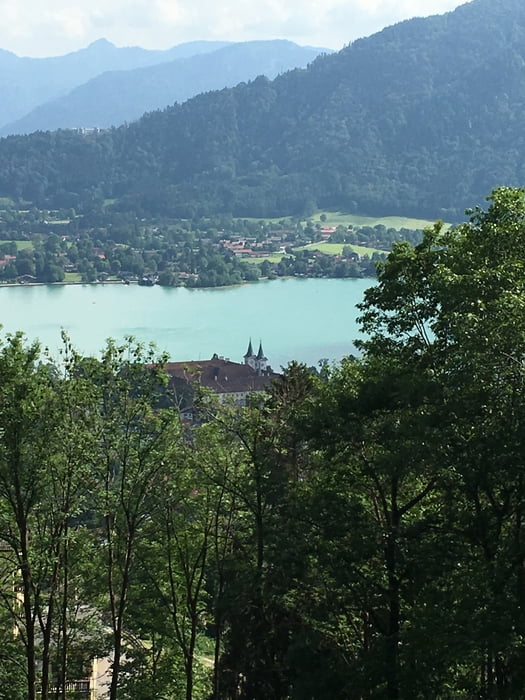
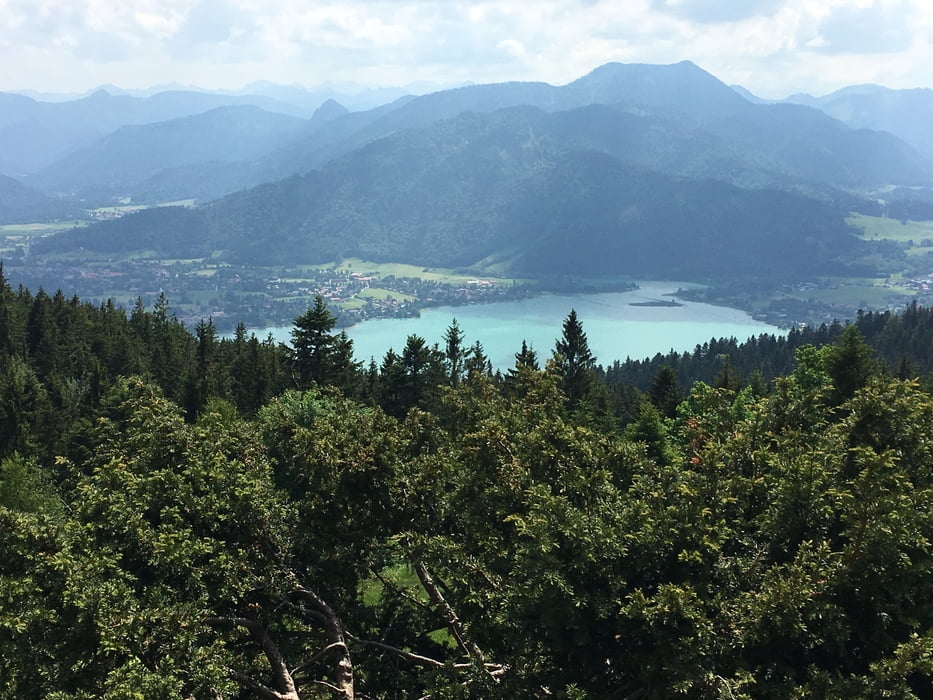
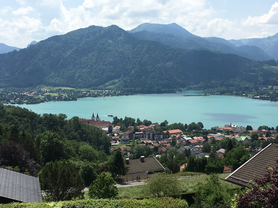
Dort herrliche Aussicht auf den Tegernsee und die Berge.

Wir nehmen den gleichen Weg zurück

Further information at

https://www.neureuth.com/

Tour gallery

Tour map and elevation profile

  • Open Street Map
  • Google
Minimum height 777 m Maximum height 1261 m Detailed view

More about the tour author

Traenkerluis
Member since 2010

Send private message

Comments

Parkplatz Prinzenweg/Schützenstrasse

GPS tracks

Trackpoints
  • GPX / Garmin Map Source (gpx) download
  • TCX / Garmin Training Center® (tcx) download
  • CRS / Garmin Training Center® (crs) download
  • Google Earth (kml) download
  • G7ToWin (g7t) download
  • TTQV (trk) download
  • Overlay (ovl) download
  • Fugawi (txt) download
  • Kompass (DAV) Track (tk) download
  • Track data sheet (pdf) download
  • Original file of the author (gpx) download

More about the tour author

Traenkerluis
Member since 2010

Send private message
Share track
Add to my favorites
Remove from my favorites
Edit tags
My score
Rate
Track: Von Tegernsee zur Neureuth
Type: Mountain hiking
Distance: 9,6 km
Evaluated on:
Duration:
Day(s)
Hour(s)
Minute(s)
Score: Landscape Fun factor Fitness Technique