


Vom Parkplatz folgen wir der Straße und halten uns links. Am Ende einer Rechtskehre vor dem Scheitelpunkt zweig links ein deutlicher Pfad ab. Hier hoch zu einem Einschnitt im Berg. Durch ein Tiergatter und das Kar hoch. Dem Pfad leicht rechts hoch zum Gipfel des Monte Oro (3/4 Std).
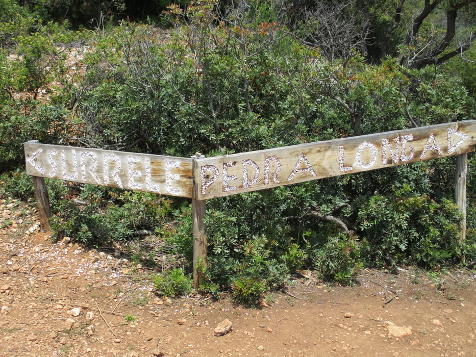
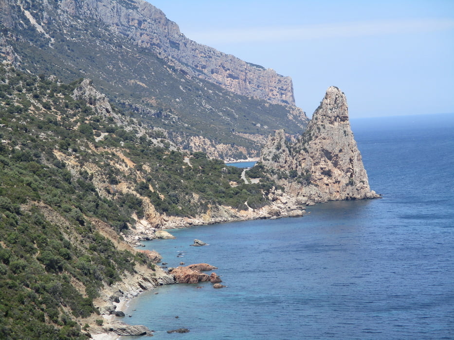
Zurück zur Schotterstraße, rechts und dann bei der Abzweigung links weiter. Der Monte Scoine wird umwandert. Wir halten uns links und am Ende der Straße auf einem schmalen Pfad hinunter zu einem weiteren Fahrweg. Vor dem Tor links auf deutlichem Pfad hinunter zum Küstenweg (1 1/2 Std.). Jetzt links auf dem traumhaften Pfad hinüber zur Pedra Longa (2 Std.).
Der Asphaltstraße links aufwärts folgen bis zum Parkplatz.
Tour gallery
Tour map and elevation profile
Minimum height 16 m
Maximum height 664 m
More about the tour author

|
JoHangler |
Comments

Kurz nach Baunei zweigt scharf links die Asphaltstraße hinunter zur Pedra Longa ab. Dieser bis zu einem Haus linker Seite folgen. Gegenüber ist eine Viehtränke. Hier scharf rechts die schmale Asphaltstraße ca. 200 m hinauf. Parkgelegenheit unter Bäumen.
GPS tracks
Trackpoints-
GPX / Garmin Map Source (gpx) download
-
TCX / Garmin Training Center® (tcx) download
-
CRS / Garmin Training Center® (crs) download
-
Google Earth (kml) download
-
G7ToWin (g7t) download
-
TTQV (trk) download
-
Overlay (ovl) download
-
Fugawi (txt) download
-
Kompass (DAV) Track (tk) download
-
Track data sheet (pdf) download
-
Original file of the author (gpx) download
More about the tour author
|
|
JoHangler |
Add to my favorites
Remove from my favorites
Edit tags
Open track
My score
Rate