Login

Forgot your login?

Cookies have to be accepted!
Your browser's cookie functionality is disabled. Please enable this functionality.

Not a member yet?

Register now
Login

Available for registred users only

Log in to use this feature.

Forgot your login?

Cookies have to be accepted!
Your browser's cookie functionality is disabled. Please enable this functionality.

Not a member yet?

Register now
Filter
Categories
Advanced filters
  • Distance (km)
  • Height
Save filters Reset filter

TrackRank

QRCode

Technical data

Distance29,1 km Height1399 m Way down1412 m Duration05:00 h:m Date27.06.2018
Scores Author Landscape Fun factor Fitness Technique

Statistics

328 Views Scores 75 Downloads Average
Rate
  • Track data sheet
  • Directions
  • Downloads
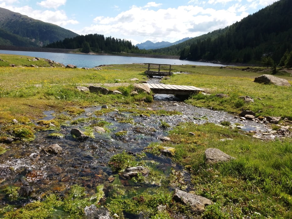
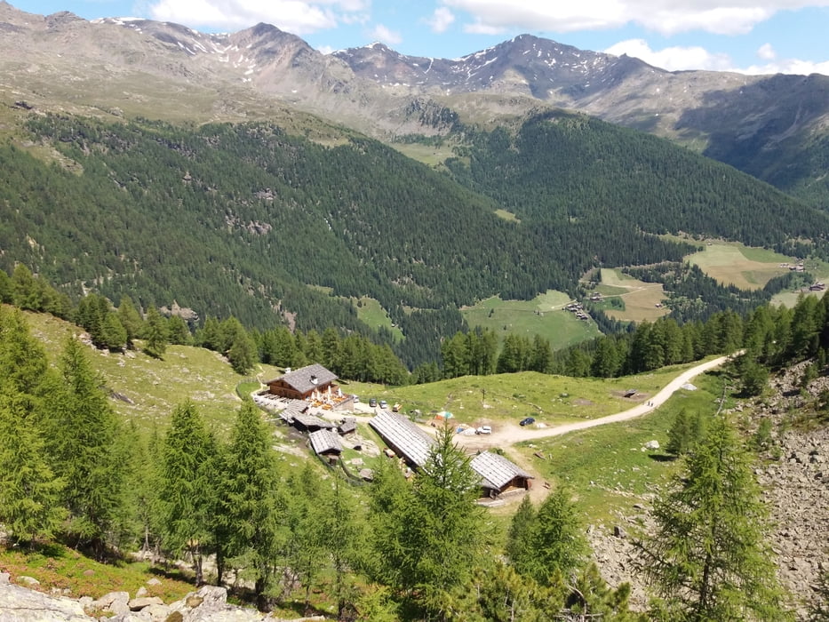
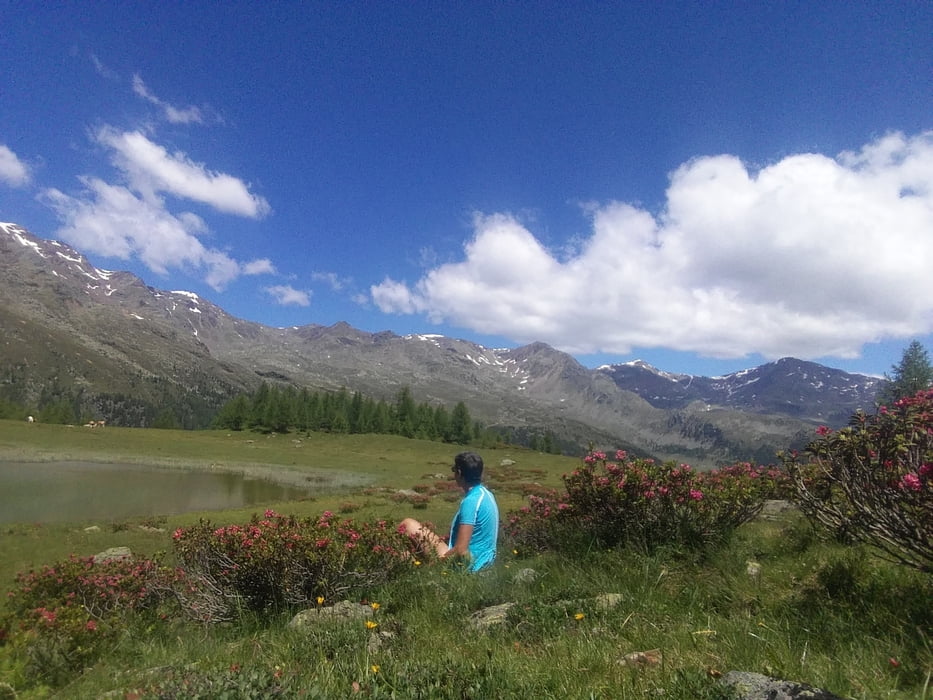
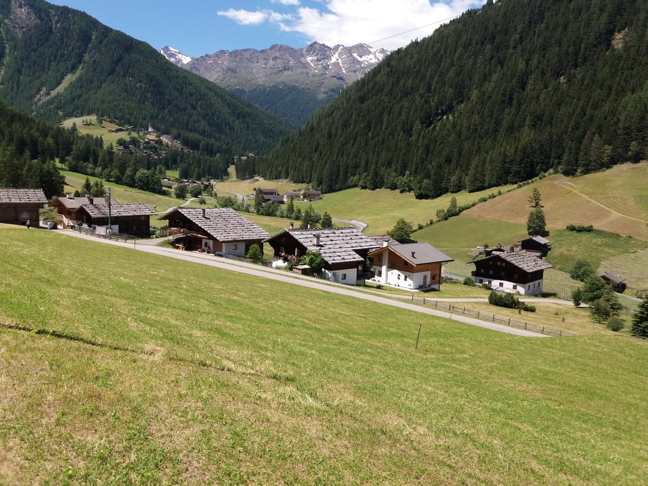
Schöne Runde mit Einkehrmöglichkeit bei der Kaserfeldalm und Fiechtalm - hier gibt es besondere kulinarische Leckerbissen! Von der Fiechtalm kurzer Abstecher zu Fuß zum wenig darüber liegenden kleinen Bergsee. Aufwärts großteils auf Asphalt oder breiten Forstwegen; Abfahrt auf schönen Waldwegen; der Weg 107 von der Fiechtalm nach St. Gertraud ist anfangs schön flüssig zu fahren (max. S2) weiter unten wird er dann doch etwas anspruchsvoller - bin einige  Male ein kurzes Stück zu Fuß gegangen. Schön auch der Höfeweg mit auf und ab - Besonderheit sind die "Urlärchen": Lärchenbäume über 2000 Jahre alt!!

Tour gallery

Tour map and elevation profile

  • Open Street Map
  • Google
Minimum height 1220 m Maximum height 2115 m Detailed view

More about the tour author

Ruth66
Member since 2018

Send private message

Comments

Lana, Ultental, St. Nikolaus

GPS tracks

Trackpoints
  • GPX / Garmin Map Source (gpx) download
  • TCX / Garmin Training Center® (tcx) download
  • CRS / Garmin Training Center® (crs) download
  • Google Earth (kml) download
  • G7ToWin (g7t) download
  • TTQV (trk) download
  • Overlay (ovl) download
  • Fugawi (txt) download
  • Kompass (DAV) Track (tk) download
  • Track data sheet (pdf) download
  • Original file of the author (gpx) download

More about the tour author

Ruth66
Member since 2018

Send private message
Share track
Add to my favorites
Remove from my favorites
Edit tags
My score
Rate
Track: Kaserfeldalm Fiechtalm Höfeweg - Ulten BZ
Type: Mountain bike
Distance: 29,1 km
Evaluated on:
Duration:
Day(s)
Hour(s)
Minute(s)
Score: Landscape Fun factor Fitness Technique