


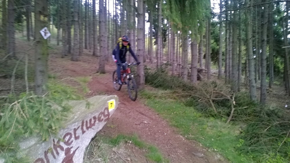
Počasí je proměnlivé, ale je to kousek, a tak neleníme a vyrážíme.
Jedeme jen kousek za humna do oblíbené hospůdky v Buchwald.
Je tam občasně otevřeno, je tedy třeba vědět, kdy.
Čepují tam výborný Zoigl, a jídlo dle denního menu i ostatní je vždy výborné.
Vždy se tady rádi zastavíme.
Na foto se podíváte, když kliknete na odkaz další informace níže.
Něco z jejich www:
Unser historisches Gasthaus liegt am Ortsrand von Selb-Längenau.
Es führen viele herrliche Wanderwege an uns vorbei. Unsere Zoiglstub’n bieten Platz für bis zu 60 Personen. Bei schönem Wetter lädt unser Außenbereich zum Verweilen ein.
Das Zoigl kommt von der Brauerei Gambrinus aus Weiden in der Oberpfalz. Es wird von meinem Sohn, Dipl.-Braumeister Steffen Hartmann, gebraut. Die Brauerei wird 2017 90 Jahre alt und feiert deshalb Jubiläum.
Es gibt Hausmacher-Brotzeiten und vieles mehr. An warmen Getränken gibt es auch Kaffee, Cappuccino und selbst gebackenen Kuchen.
Sonntagmittag gibt’s gutbürgerlichen Mittagstisch
Wir freuen uns auf Ihren Besuch
die „Wirtsleut“
Further information at
https://stanpilot.rajce.idnes.cz/kolo_2017-04-23_As-Buchwald-As_jedeme_na_Zoigl/Tour gallery
Tour map and elevation profile
Minimum height 576 m
Maximum height 719 m
More about the tour author
|
|
stan - pilot |
Comments

Do Aše se můžete dopravit třeba autem, na motorce, ale i na kole po silnici č. 64 z Chebu přes Hazlov. Tato silnice vás nakonec dovede až na hraniční přechod Aš - Asch / Selb.
Můžete přijet také přes hraniční přechod Doubrava - Bad Elster. Nebo můžete použít k dopravě vlak, který jede ze stanice Cheb.
V Aši se můžete také ubytovat, a pak na kolech vyrážet na podobné pohodové výlety po blízké či vzdálenějším okolí, tak jako to děláme my z nakole.assko.cz
Novinkou, a tak trochu reminiscencí dob minulých, je přímé vlakové spojení Aš - Selb.
GPS tracks
Trackpoints-
GPX / Garmin Map Source (gpx) download
-
TCX / Garmin Training Center® (tcx) download
-
CRS / Garmin Training Center® (crs) download
-
Google Earth (kml) download
-
G7ToWin (g7t) download
-
TTQV (trk) download
-
Overlay (ovl) download
-
Fugawi (txt) download
-
Kompass (DAV) Track (tk) download
-
Track data sheet (pdf) download
-
Original file of the author (gpx) download
More about the tour author
|
|
stan - pilot |
Add to my favorites
Remove from my favorites
Edit tags
Open track
My score
Rate