

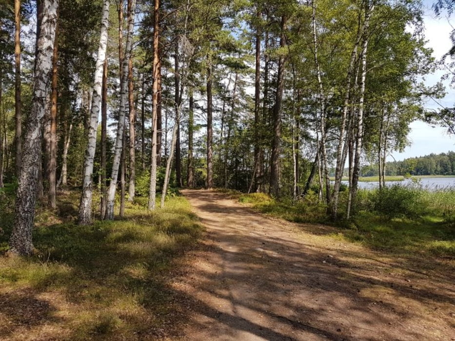
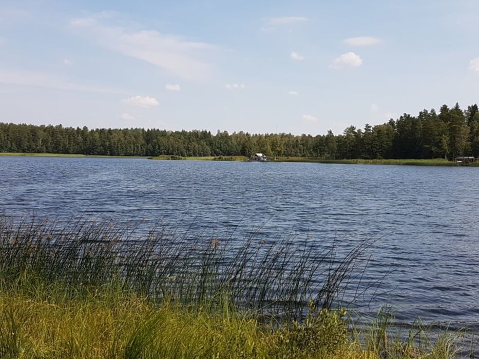
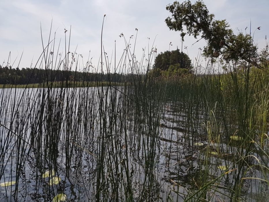
Rundwanderung um den See Illern
5 km - 2h (mit Badepause)
Wir starten an der Hauptstraße 131 (hier ist auch ein Parkplatz).
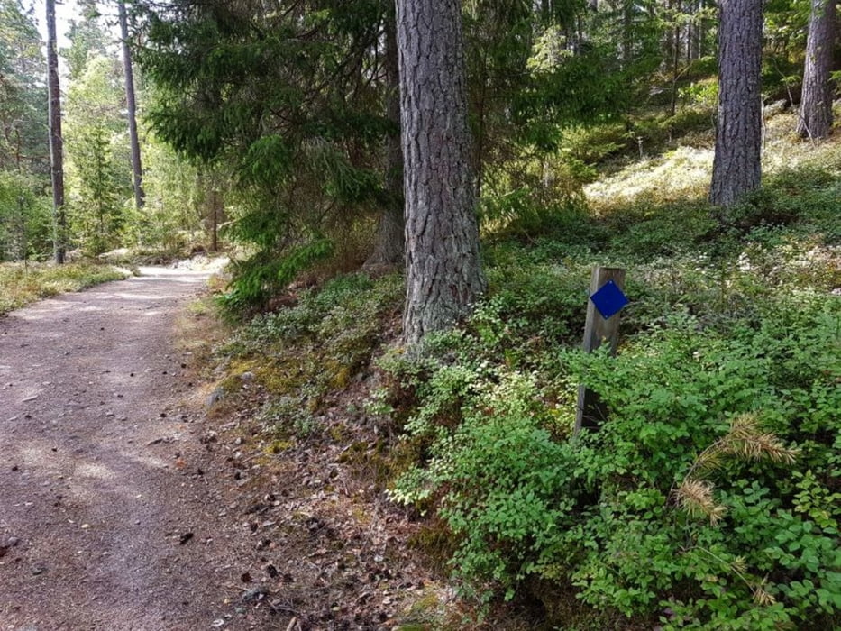
Wir entscheiden uns fälschlicherweise für die Wanderung in Uhrzeigerrichtung. Besser ist die Wanderung entgegengesetzt, da so die Ausschilderung (Blau) besser zu sehen ist.
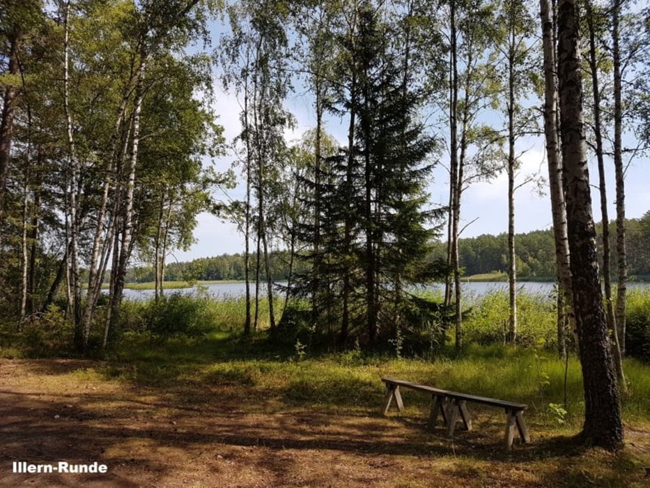
Badestelle bei km 2,6
Fazit:
- klein aber sehr fein
- empfehlenswert
Further information at
https://sv.wikipedia.org/wiki/Illern_(Tran%C3%A5s_socken,_Sm%C3%A5land)Tour gallery
Tour map and elevation profile
Minimum height 202 m
Maximum height 219 m
More about the tour author
|
|
Stummi |
Comments

More about the tour author
|
|
Stummi |
Add to my favorites
Remove from my favorites
Edit tags
Open track
My score
Rate