Login

Forgot your login?

Cookies have to be accepted!
Your browser's cookie functionality is disabled. Please enable this functionality.

Not a member yet?

Register now
Login

Available for registred users only

Log in to use this feature.

Forgot your login?

Cookies have to be accepted!
Your browser's cookie functionality is disabled. Please enable this functionality.

Not a member yet?

Register now
Filter
Categories
Advanced filters
  • Distance (km)
  • Height
Save filters Reset filter

TrackRank

QRCode

Technical data

Distance11,4 km Height592 m Way down577 m Duration05:32 h:m Date07.10.2018
Scores Author Landscape Fun factor Fitness Technique

Statistics

318 Views Scores 25 Downloads Average
Rate
  • Track data sheet
  • Directions
  • Downloads
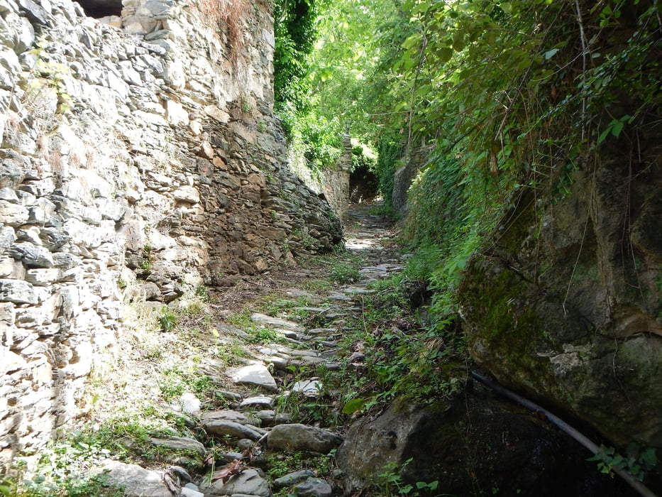
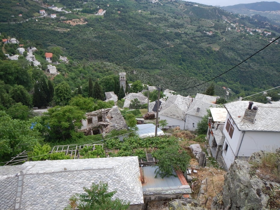
From the parking area, the trail goes steeply uphill, over stairs and stone paths. Later over dust roads. Near the end, you have a nice view to Makrinitsa, Portaria and Volos.

Tour gallery

Tour map and elevation profile

  • Open Street Map
  • Google
Minimum height 617 m Maximum height 1105 m Detailed view

More about the tour author

Mapdekode
Member since 2008

Send private message

Comments

Drive from Volos via Portaria to Makrinitsa. At the begin of the Village there is a parking area.

GPS tracks

Trackpoints
  • GPX / Garmin Map Source (gpx) download
  • TCX / Garmin Training Center® (tcx) download
  • CRS / Garmin Training Center® (crs) download
  • Google Earth (kml) download
  • G7ToWin (g7t) download
  • TTQV (trk) download
  • Overlay (ovl) download
  • Fugawi (txt) download
  • Kompass (DAV) Track (tk) download
  • Track data sheet (pdf) download
  • Original file of the author (gpx) download

More about the tour author

Mapdekode
Member since 2008

Send private message
Share track
Add to my favorites
Remove from my favorites
Edit tags
My score
Rate
Track: Greece, Magnisia, Makrinitsa, Bridge Karia
Type: Hiking
Distance: 11,4 km
Evaluated on:
Duration:
Day(s)
Hour(s)
Minute(s)
Score: Landscape Fun factor Fitness Technique