Login

Forgotten password?

Cookies have to be accepted!
Your browser's cookie functionality is disabled. Please enable this functionality.

Not a member yet?

Register now
Login

Available for registred users only

Log in to use this feature.

Forgotten password?

Cookies have to be accepted!
Your browser's cookie functionality is disabled. Please enable this functionality.

Not a member yet?

Register now
Filter
Categories
Advanced filters
  • Distance (km)
  • Height
Save filters Reset filter

TrackRank

QRCode

Technical data

Distance22,1 km Height341 m Way down346 m Duration02:00 h:m Date07.10.2018
Scores Author Landscape Fun factor Fitness Technique

Statistics

147 Views Scores 11 Downloads Average
Rate
  • Track data sheet
  • Directions
  • Downloads

wir starten in Kalteneck am Bahnhof wo man sein Auto auch kostenlos parken kann und fahren gemütlich auf der Strasse richtung Hutthurm.

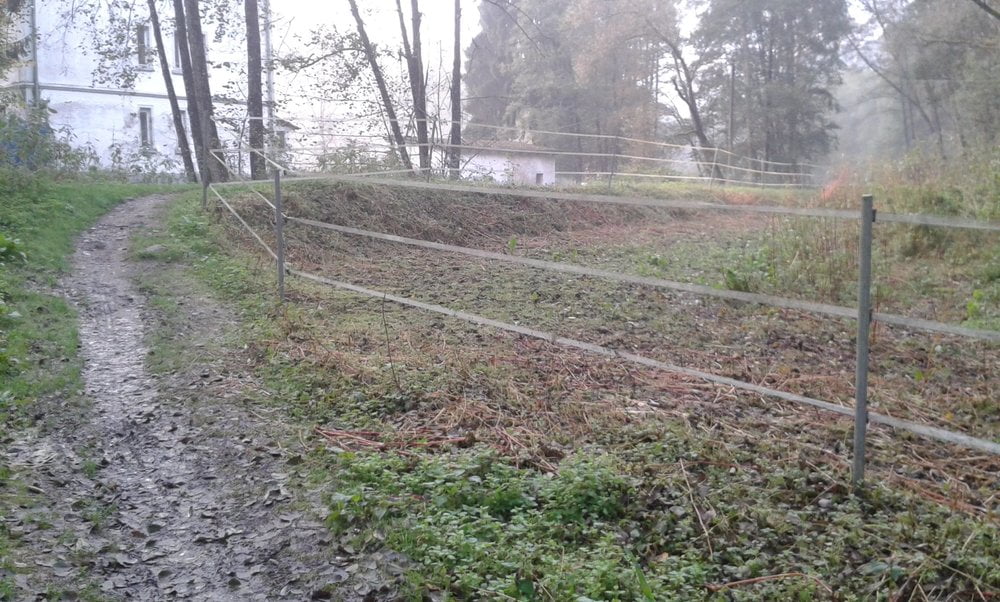
Danach geht es weiter Richtung B12 und dann parallel zur B12 weiter auf Schotter und Teerstrasse Richtung Prag. Wir überqueren danach die B12 und es geht weiter Richtung Prag und Trangenreuth und halten uns danach dann Richtung München. In Auberg geht ein toller Trail in richtung Ilz.

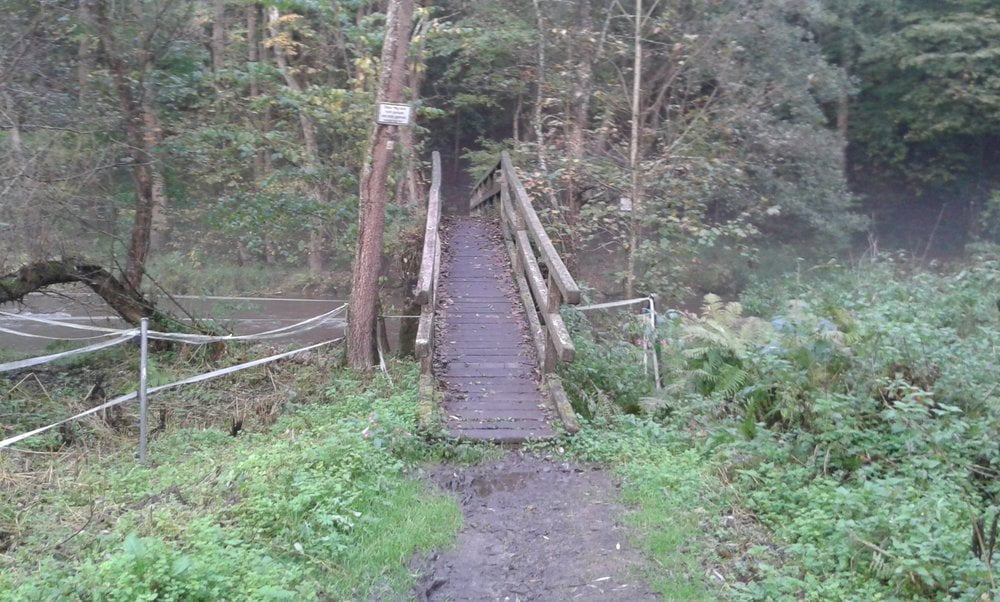
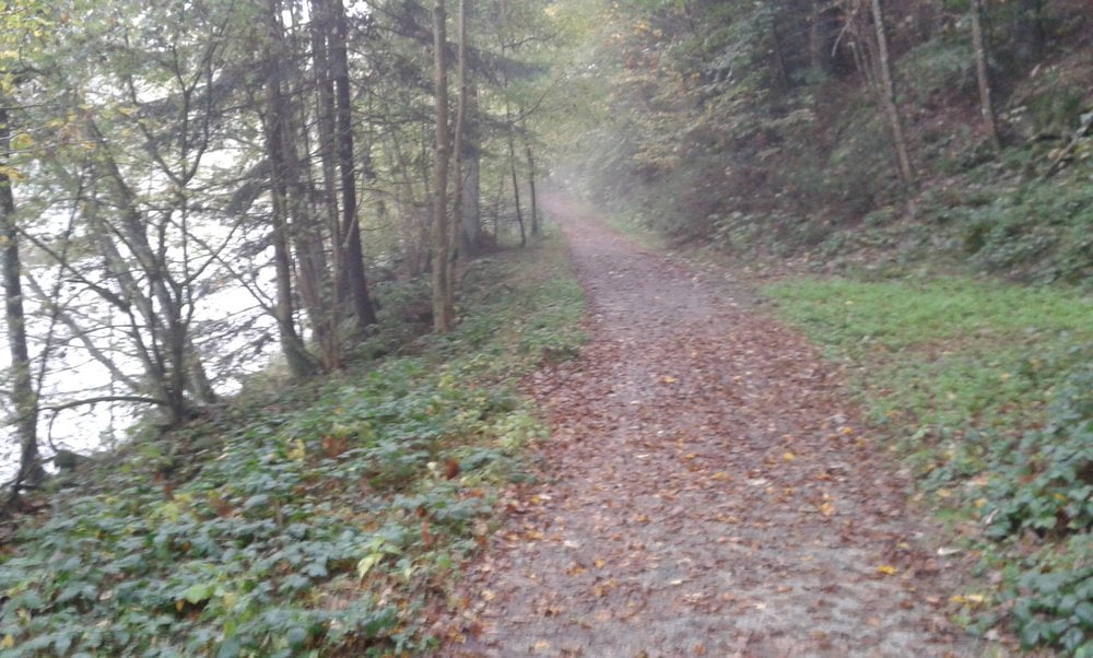
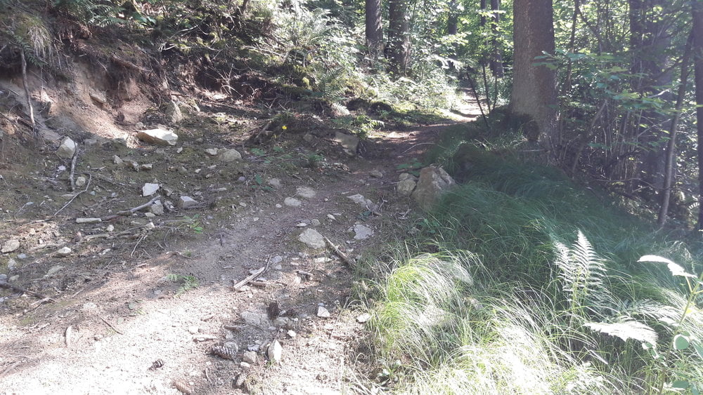
Den fahren wir runter und hier kann man entweder Richtung Schrottenbaummühle fahren oder wie hier auf der Tour wieder Richtung Kalteneck auf dem Ilztalwanderweg.

Durch den Trail ist die Tour nur mit MTB zu befahren.

Viel Spass beim Nachfahren
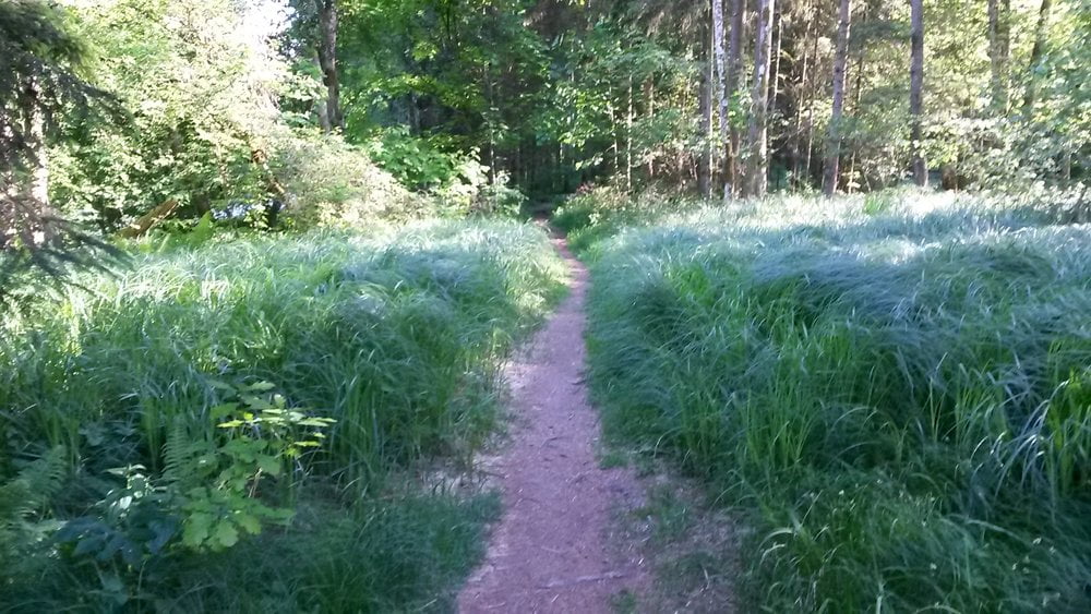
Tour gallery

Tour map and elevation profile

  • Open Street Map
  • Google
Minimum height 335 m Maximum height 495 m Detailed view

More about the tour author

franz1962
Member since 2011

Send private message

Comments

GPS tracks

Trackpoints
  • GPX / Garmin Map Source (gpx) download
  • TCX / Garmin Training Center® (tcx) download
  • CRS / Garmin Training Center® (crs) download
  • Google Earth (kml) download
  • G7ToWin (g7t) download
  • TTQV (trk) download
  • Overlay (ovl) download
  • Fugawi (txt) download
  • Kompass (DAV) Track (tk) download
  • Track data sheet (pdf) download
  • Original file of the author (gpx) download

More about the tour author

franz1962
Member since 2011

Send private message
Share track
Add to my favorites
Remove from my favorites
Edit tags
My score
Rate
Track: Um Hutthurm rum
Type: Mountain bike
Distance: 22,1 km
Evaluated on:
Duration:
Day(s)
Hour(s)
Minute(s)
Score: Landscape Fun factor Fitness Technique