Login

Forgot your login?

Cookies have to be accepted!
Your browser's cookie functionality is disabled. Please enable this functionality.

Not a member yet?

Register now
Login

Available for registred users only

Log in to use this feature.

Forgot your login?

Cookies have to be accepted!
Your browser's cookie functionality is disabled. Please enable this functionality.

Not a member yet?

Register now
Filter
Categories
Advanced filters
  • Distance (km)
  • Height
Save filters Reset filter

TrackRank

QRCode

Technical data

Distance7,4 km Height215 m Way down235 m Duration01:45 h:m Date27.10.2018
Scores Author User Landscape Fun factor Fitness Technique

Statistics

405 Views 2 Scores 29 Downloads 5.00 Average
Rate
  • Track data sheet
  • Directions
  • Downloads
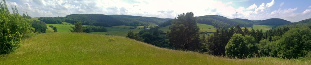
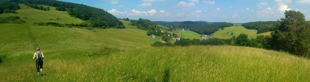
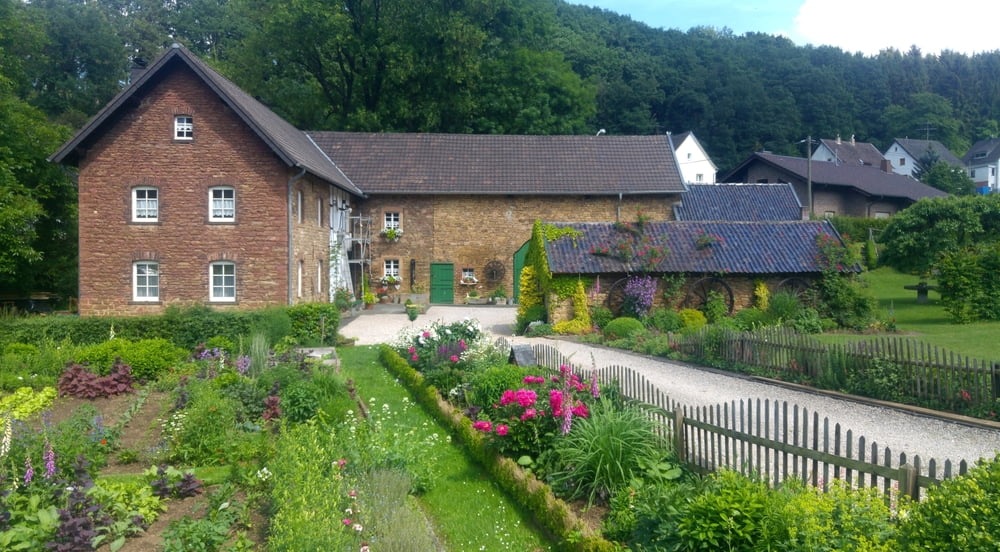
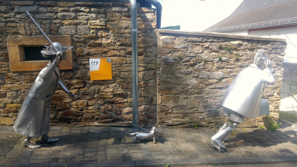
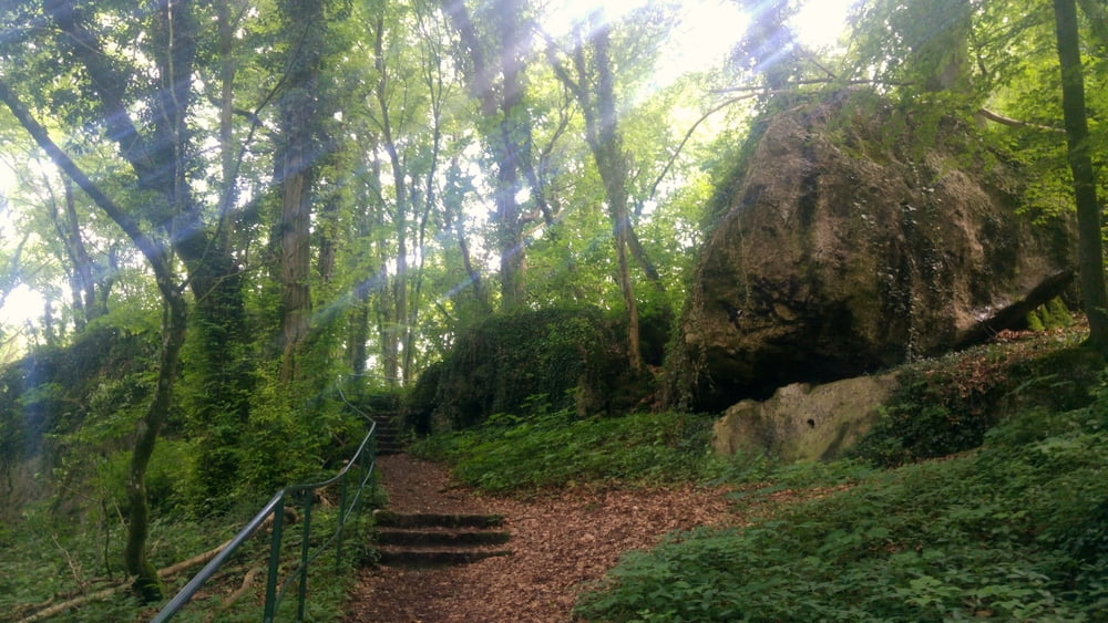
Am Startpunkt eine Höhle mit dschungelartiger Flora sowie ein netter Imbiss, auf der Route massig Himmelblick und Fernsichten, gegen Ende ein kleines Künstlerdorf.

Tour gallery

Tour map and elevation profile

  • Open Street Map
  • Google
Minimum height 314 m Maximum height 449 m Detailed view

More about the tour author

mackator
Member since 2012

Send private message

Comments

Parkplatz Kakushöhle

GPS tracks

Trackpoints
  • GPX / Garmin Map Source (gpx) download
  • TCX / Garmin Training Center® (tcx) download
  • CRS / Garmin Training Center® (crs) download
  • Google Earth (kml) download
  • G7ToWin (g7t) download
  • TTQV (trk) download
  • Overlay (ovl) download
  • Fugawi (txt) download
  • Kompass (DAV) Track (tk) download
  • Track data sheet (pdf) download
  • Original file of the author (gpx) download

More about the tour author

mackator
Member since 2012

Send private message
Share track
Add to my favorites
Remove from my favorites
Edit tags
My score
Rate
Track: Kakushöhle-Eulenberg-Eiserfey
Type: Hiking
Distance: 7,4 km
Evaluated on:
Duration:
Day(s)
Hour(s)
Minute(s)
Score: Landscape Fun factor Fitness Technique