
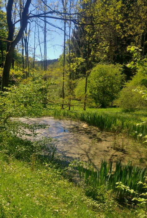

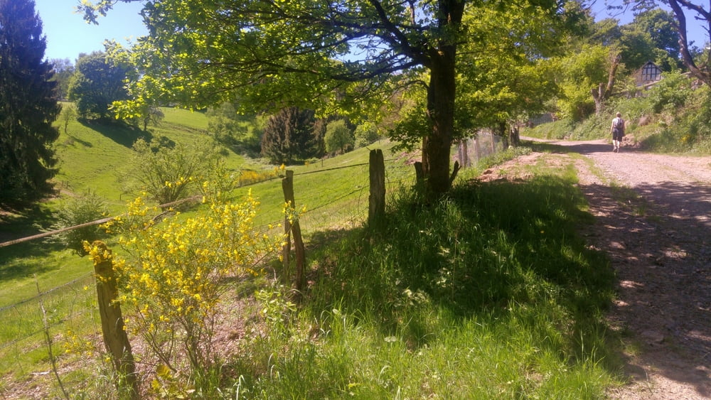
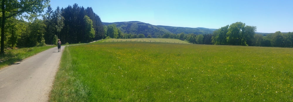
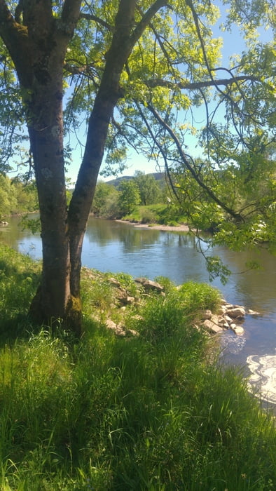
Von Dattenfeld entlang des Pulvermühlenweges vorbei an der Pulvermühlenruine zum Gut Ommerath und durch Wälder hinab nach Wilberhofen. Schlussstück entlang der Sieg mit absolut netter Einkehrmöglichkeit am Bootshafen Dattenfeld. Diese Tour kann nicht mit der Windecker Ländchen Tour mithalten, geht viel durch Wald, bietet aber um das Gut herum auch ein paar idyllische Eindrücke.
Kinder-Baby-Hike: Gegangen mit Kraxe. Nach meiner Erinnerung durchaus kinderwagenkompatibel.
Tour gallery
Tour map and elevation profile
Minimum height 98 m
Maximum height 304 m
More about the tour author
|
|
mackator |
Comments

Dattenfeld
GPS tracks
Trackpoints-
GPX / Garmin Map Source (gpx) download
-
TCX / Garmin Training Center® (tcx) download
-
CRS / Garmin Training Center® (crs) download
-
Google Earth (kml) download
-
G7ToWin (g7t) download
-
TTQV (trk) download
-
Overlay (ovl) download
-
Fugawi (txt) download
-
Kompass (DAV) Track (tk) download
-
Track data sheet (pdf) download
-
Original file of the author (gpx) download
More about the tour author
|
|
mackator |
Add to my favorites
Remove from my favorites
Edit tags
Open track
My score
Rate