Login

Forgot your login?

Cookies have to be accepted!
Your browser's cookie functionality is disabled. Please enable this functionality.

Not a member yet?

Register now
Login

Available for registred users only

Log in to use this feature.

Forgot your login?

Cookies have to be accepted!
Your browser's cookie functionality is disabled. Please enable this functionality.

Not a member yet?

Register now
Filter
Categories
Advanced filters
  • Distance (km)
  • Height
Save filters Reset filter

TrackRank

QRCode

Technical data

Distance1,8 km Height145 m Way down160 m Duration01:00 h:m Date09.11.2018
Scores Author Landscape Fun factor Fitness Technique

Statistics

133 Views Scores 3 Downloads Average
Rate
  • Track data sheet
  • Directions
  • Downloads
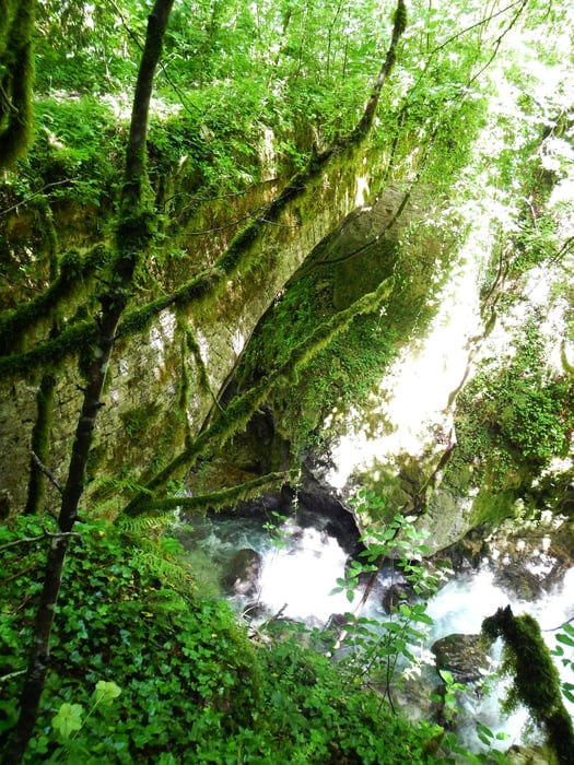
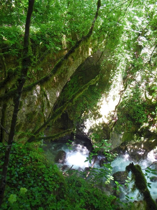
Sometimes slippery, on the bridge is much vegetation, be careful, you don't see the border of the bridge!
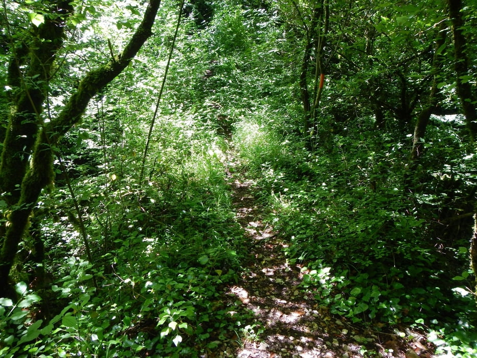
If you follow this trail, you came to the monastery Vylizas and to Matsouki.

Tour gallery

Tour map and elevation profile

  • Open Street Map
  • Google
Minimum height 750 m Maximum height 924 m Detailed view

More about the tour author

Mapdekode
Member since 2008

Send private message

Comments

The trail start on the road to Kalarites.

GPS tracks

Trackpoints
  • GPX / Garmin Map Source (gpx) download
  • TCX / Garmin Training Center® (tcx) download
  • CRS / Garmin Training Center® (crs) download
  • Google Earth (kml) download
  • G7ToWin (g7t) download
  • TTQV (trk) download
  • Overlay (ovl) download
  • Fugawi (txt) download
  • Kompass (DAV) Track (tk) download
  • Track data sheet (pdf) download
  • Original file of the author (gpx) download

More about the tour author

Mapdekode
Member since 2008

Send private message
Share track
Add to my favorites
Remove from my favorites
Edit tags
My score
Rate
Track: Greece, Ioannina, Kalarites, Bridge Karlimpoy
Type: Hiking
Distance: 1,8 km
Evaluated on:
Duration:
Day(s)
Hour(s)
Minute(s)
Score: Landscape Fun factor Fitness Technique