Login

Forgot your login?

Cookies have to be accepted!
Your browser's cookie functionality is disabled. Please enable this functionality.

Not a member yet?

Register now
Login

Available for registred users only

Log in to use this feature.

Forgot your login?

Cookies have to be accepted!
Your browser's cookie functionality is disabled. Please enable this functionality.

Not a member yet?

Register now
Filter
Categories
Advanced filters
  • Distance (km)
  • Height
Save filters Reset filter

TrackRank

QRCode

Technical data

Distance56,3 km Height719 m Way down707 m Duration04:00 h:m Date09.07.2005
Scores Author Landscape Fun factor Fitness Technique

Statistics

4057 Views 5 Scores 476 Downloads 2.60 Average
Rate
  • Track data sheet
  • Directions
  • Downloads
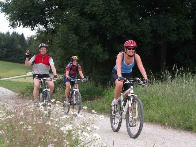
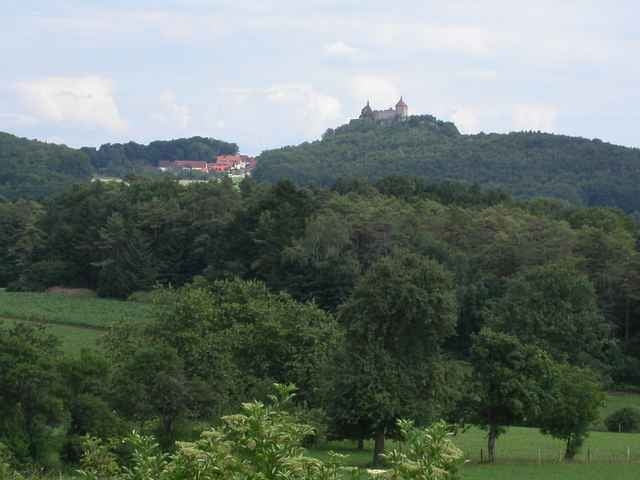
Sanfte Tagestour auf Forst- und Flurwegen und Nebenstraßen von Lauf an der Pegnitz nach Betzenstein zur Alpenvereinshütte.

Tour gallery

Tour map and elevation profile

  • Open Street Map
  • Google
Minimum height 329 m Maximum height 580 m Detailed view

More about the tour author

erwin.janko
Member since 2005

Send private message

Comments

Thomas on 14.07.2005

Wege leicht zu finden. Schöne Tour.
W.Luber on 14.03.2006

Technik

eher langweilig - Schotterwege
Thomas on 03.06.2006

von

Ich bin die Tour heute gefahren. Ich fand Sie schön und abwechslungsreich.
M.Lataster on 16.10.2007

Sehr schöne Überlandrunde auf einfachen Wegen. Im Herbst traumhaft.
hans on 26.04.2008

des

ga net schlecht
BAB A9 Anschlussstelle Lauf Nord oder Lauf Süd -
Bundesstraße 14 -
Bahnhof Lauf rechts der Pegnitz

GPS tracks

Trackpoints
  • GPX / Garmin Map Source (gpx) download
  • TCX / Garmin Training Center® (tcx) download
  • CRS / Garmin Training Center® (crs) download
  • Google Earth (kml) download
  • G7ToWin (g7t) download
  • TTQV (trk) download
  • Overlay (ovl) download
  • Fugawi (txt) download
  • Kompass (DAV) Track (tk) download
  • Track data sheet (pdf) download
  • Original file of the author (g7t) download

More about the tour author

erwin.janko
Member since 2005

Send private message
Share track
Add to my favorites
Remove from my favorites
Edit tags
My score
Rate
Track: Franken: Lauf - Betzenstein
Type: Mountain bike
Distance: 56,3 km
Evaluated on:
Duration:
Day(s)
Hour(s)
Minute(s)
Score: Landscape Fun factor Fitness Technique