


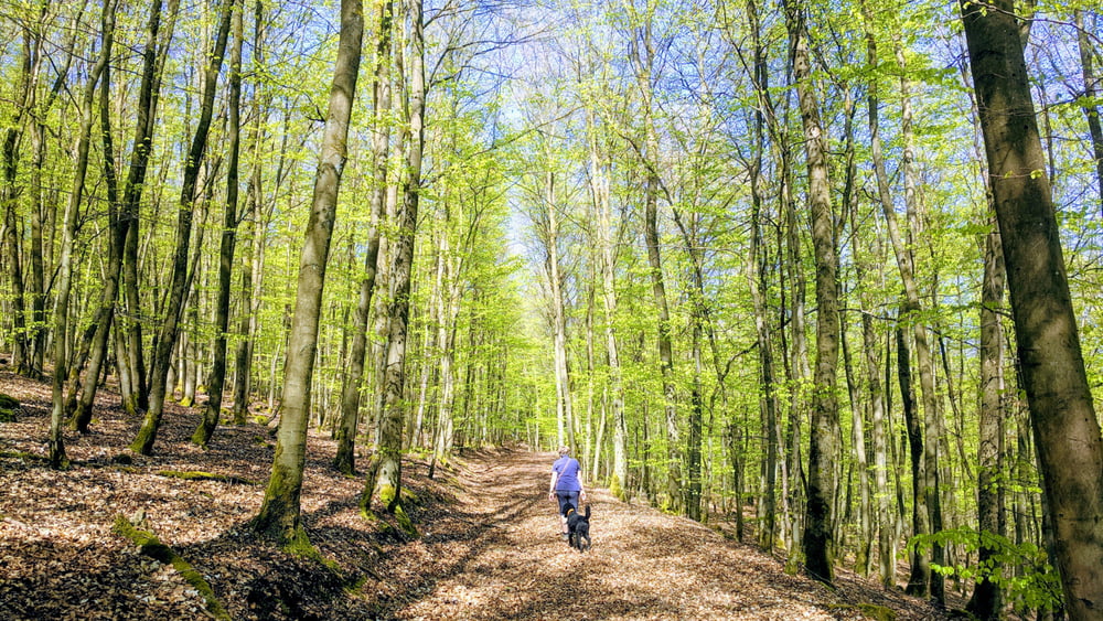
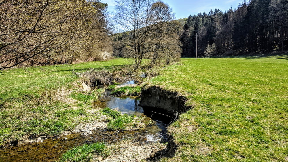
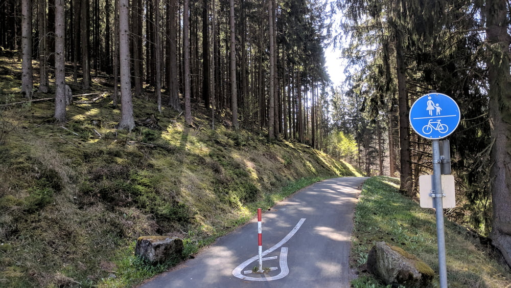
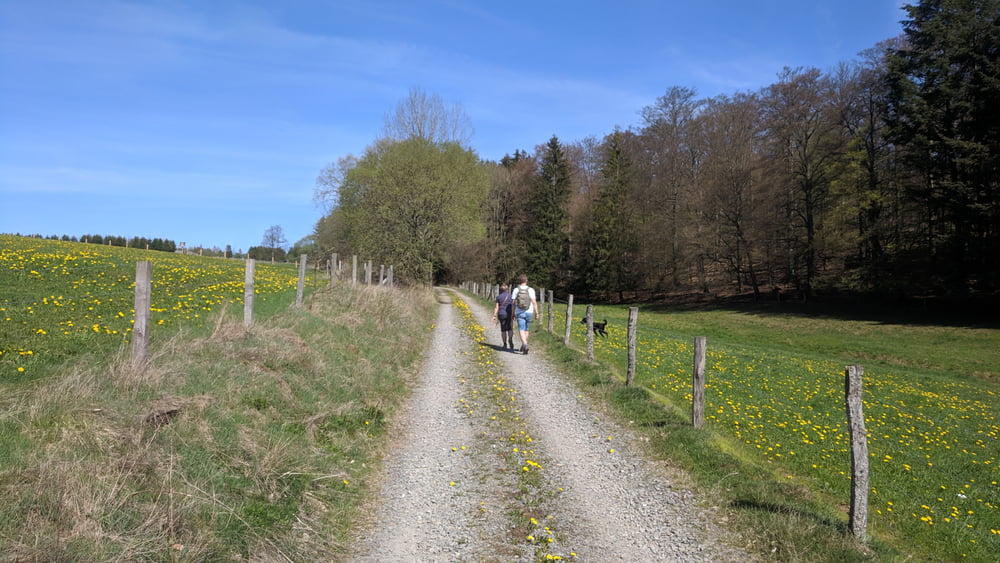
Aus dem Edertal führt der Weg bei Battenfeld hinauf zur Heidelandschaft "Battenfelder Driescher", dann geht es durchs Nitzelbachtal hinauf bis Neuludwigsdorf. Von dort Fernsicht bis zum Hohen Lohr, an klaren Tagen bis Marburg und Amöneburg. Nach Abstieg zum Silbersee geht es durch das Linspherbachtal bis zur Unterlinspher Mühle. Nach Überquerung der B236 und einigen Metern auf dem Linspherradweg geht es hinauf zum "Romantikhof Alte Wiesen", auf der "Alten Kölnischen Landstraße" durch den Wald zurück nach Allendorf/Eder.
Further information at
https://de.wikipedia.org/wiki/NeuludwigsdorfTour gallery
Tour map and elevation profile
Minimum height 307 m
Maximum height 584 m
More about the tour author
|
|
cmueli |
Comments

Die Rundwanderung kann von Allendorf/Eder, Battenfeld, Neuludwigsdorf, Bromskirchen oder Osterfeld gestartet werden.
GPS tracks
Trackpoints-
GPX / Garmin Map Source (gpx) download
-
TCX / Garmin Training Center® (tcx) download
-
CRS / Garmin Training Center® (crs) download
-
Google Earth (kml) download
-
G7ToWin (g7t) download
-
TTQV (trk) download
-
Overlay (ovl) download
-
Fugawi (txt) download
-
Kompass (DAV) Track (tk) download
-
Track data sheet (pdf) download
-
Original file of the author (gpx) download
More about the tour author
|
|
cmueli |
Add to my favorites
Remove from my favorites
Edit tags
Open track
My score
Rate