Login

Forgotten password?

Cookies have to be accepted!
Your browser's cookie functionality is disabled. Please enable this functionality.

Not a member yet?

Register now
Login

Available for registred users only

Log in to use this feature.

Forgotten password?

Cookies have to be accepted!
Your browser's cookie functionality is disabled. Please enable this functionality.

Not a member yet?

Register now
Filter
Categories
Advanced filters
  • Distance (km)
  • Height
Save filters Reset filter

TrackRank

QRCode

Technical data

Distance40,2 km Height1093 m Way down1109 m Duration04:00 h:m Date06.05.2019
Scores Author Landscape Fun factor Fitness Technique

Statistics

338 Views Scores 78 Downloads Average
Rate
  • Track data sheet
  • Directions
  • Downloads

einfache Tour - ohne fanhrtechnische Schwierigkeiten - alles S0.

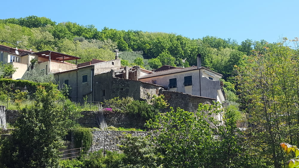
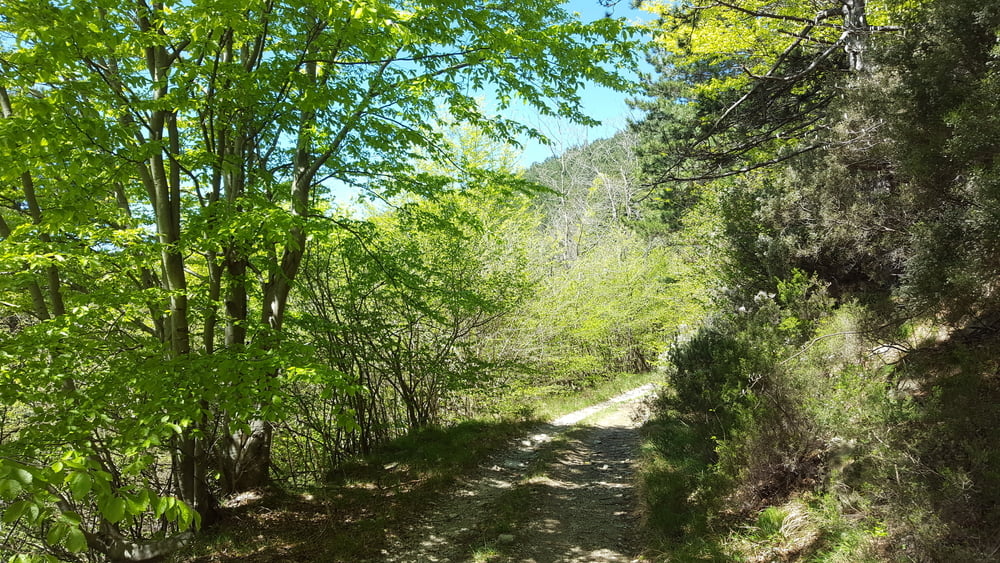
vom Camping Tahiti nach Finalborgo und hoch zum Castel Gavonne. In Perti einen kurzen Wanderweg nach Calice Ligure. Auf der Strasse Richtung Rialto und in Molino links ab hoch zur Kapelle Madonna della Guardia. Dann auf dem Wanderweg weiter zum Restaurant Din am Melongopass. 50m Richtung Natobase geht ein Forstweg hinunter nach Rialto. Den runter und zurück zum Camping.

Tour gallery

Tour map and elevation profile

  • Open Street Map
  • Google
Minimum height 2 m 
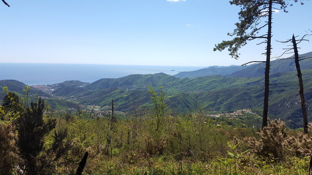
Maximum height 946 m Detailed view

More about the tour author

Fruehaufsteher
Member since 2008

Send private message

Comments

GPS tracks

Trackpoints
  • GPX / Garmin Map Source (gpx) download
  • TCX / Garmin Training Center® (tcx) download
  • CRS / Garmin Training Center® (crs) download
  • Google Earth (kml) download
  • G7ToWin (g7t) download
  • TTQV (trk) download
  • Overlay (ovl) download
  • Fugawi (txt) download
  • Kompass (DAV) Track (tk) download
  • Track data sheet (pdf) download
  • Original file of the author (gpx) download

More about the tour author

Fruehaufsteher
Member since 2008

Send private message
Share track
Add to my favorites
Remove from my favorites
Edit tags
My score
Rate
Track: Finale Ligure - EMTB - Din
Type: Mountain bike
Distance: 40,2 km
Evaluated on:
Duration:
Day(s)
Hour(s)
Minute(s)
Score: Landscape Fun factor Fitness Technique