Login

Forgotten password?

Cookies have to be accepted!
Your browser's cookie functionality is disabled. Please enable this functionality.

Not a member yet?

Register now
Login

Available for registred users only

Log in to use this feature.

Forgotten password?

Cookies have to be accepted!
Your browser's cookie functionality is disabled. Please enable this functionality.

Not a member yet?

Register now
Filter
Categories
Advanced filters
  • Distance (km)
  • Height
Save filters Reset filter

TrackRank

QRCode

Technical data

Distance25,5 km Height646 m Way down645 m Duration02:30 h:m Date11.05.2019
Scores Author Landscape Fun factor Fitness Technique

Statistics

346 Views Scores 111 Downloads Average
Rate
  • Track data sheet
  • Directions
  • Downloads
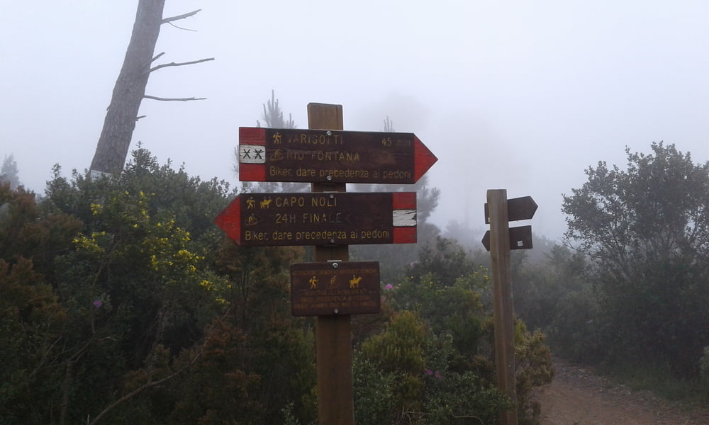
vom Camping Tahiti auf der Strasse nach Le Manie. Danach rechts ab und den Kurs des 24 h-Rennens nachgefahren. Alles S1 mit einigen S2 - Stellen. Dann über Arma und das Val ponci nach Verzi und über den Höhenweg zurück zum Camping.

Tour map and elevation profile

  • Open Street Map
  • Google
Minimum height 9 m Maximum height 390 m Detailed view

More about the tour author

Fruehaufsteher
Member since 2008

Send private message

Comments

GPS tracks

Trackpoints
  • GPX / Garmin Map Source (gpx) download
  • TCX / Garmin Training Center® (tcx) download
  • CRS / Garmin Training Center® (crs) download
  • Google Earth (kml) download
  • G7ToWin (g7t) download
  • TTQV (trk) download
  • Overlay (ovl) download
  • Fugawi (txt) download
  • Kompass (DAV) Track (tk) download
  • Track data sheet (pdf) download
  • Original file of the author (gpx) download

More about the tour author

Fruehaufsteher
Member since 2008

Send private message
Share track
Add to my favorites
Remove from my favorites
Edit tags
My score
Rate
Track: Finale Ligure - EMTB - Le Manie 24h
Type: Mountain bike
Distance: 25,5 km
Evaluated on:
Duration:
Day(s)
Hour(s)
Minute(s)
Score: Landscape Fun factor Fitness Technique