Login

Forgot your login?

Cookies have to be accepted!
Your browser's cookie functionality is disabled. Please enable this functionality.

Not a member yet?

Register now
Login

Available for registred users only

Log in to use this feature.

Forgot your login?

Cookies have to be accepted!
Your browser's cookie functionality is disabled. Please enable this functionality.

Not a member yet?

Register now
Filter
Categories
Advanced filters
  • Distance (km)
  • Height
Save filters Reset filter

TrackRank

QRCode

Technical data

Distance78,7 km Height660 m Way down618 m Duration00:00 h:m Date26.05.2019
Scores Author Landscape Fun factor Fitness Technique

Statistics

176 Views Scores 7 Downloads Average
Rate
  • Track data sheet
  • Directions
  • Downloads
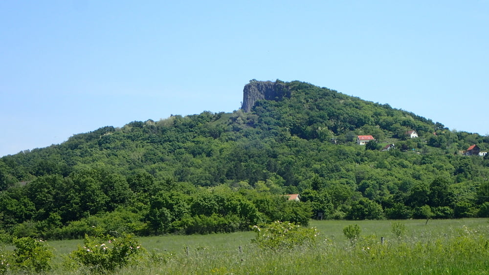
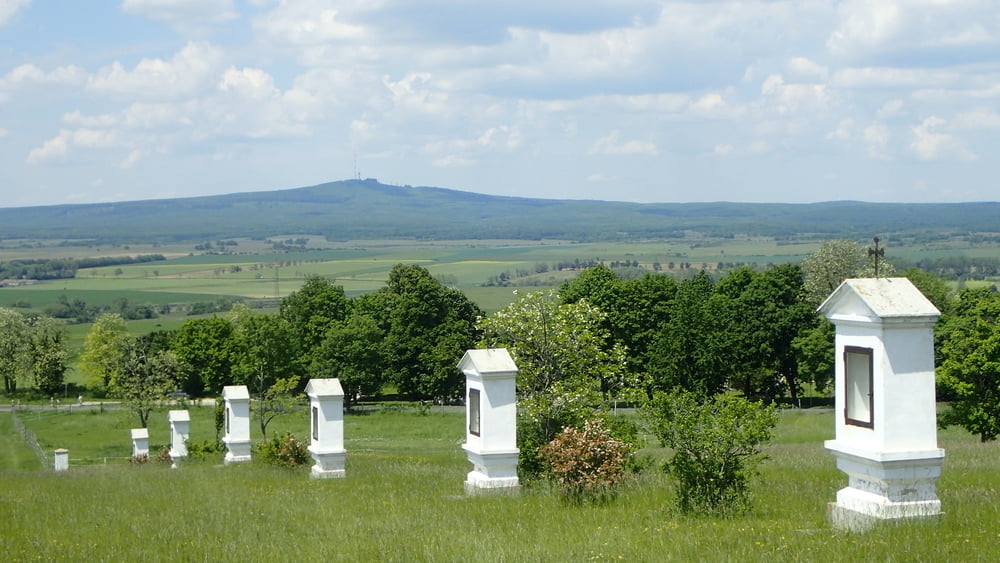
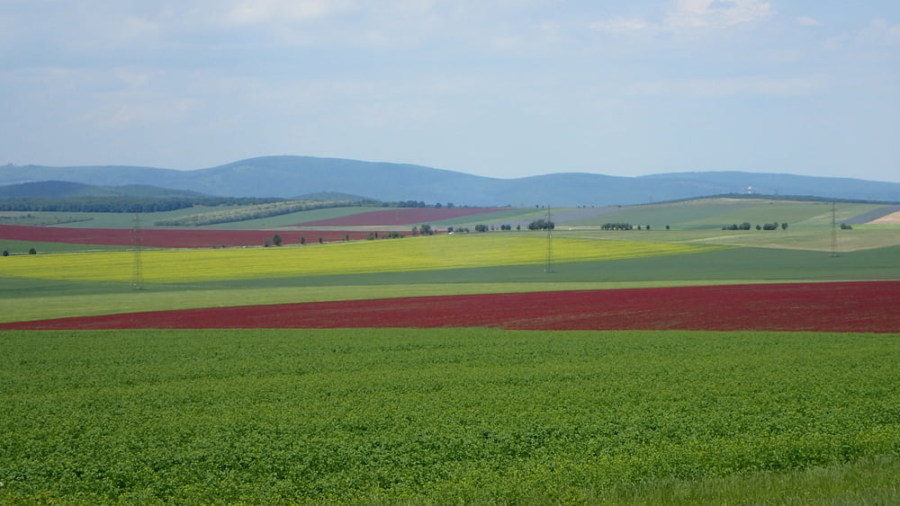
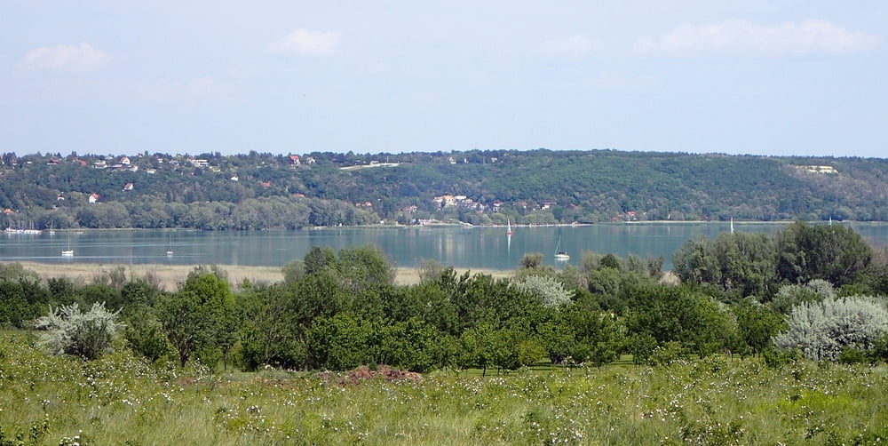
Badacsonyba mentem vonattal. Megkerültem a hegyet úgy mentem Káptalantótiba a piacra. A Hegyestű után felfelé Mencshelyre. Onnan Vöröstő-Barnag-Tótvázsony. Hidegkúttól Fajszig külön bicikliúton. 1-2 kilométer murva után az Almádi bicikliúton Fűzfőre.

Tour gallery

Tour map and elevation profile

  • Open Street Map
  • Google
Minimum height 110 m Maximum height 379 m Detailed view

More about the tour author

Tulilui
Member since 2017

Send private message

Comments

Vonattal Badacsonyba.

GPS tracks

Trackpoints
  • GPX / Garmin Map Source (gpx) download
  • TCX / Garmin Training Center® (tcx) download
  • CRS / Garmin Training Center® (crs) download
  • Google Earth (kml) download
  • G7ToWin (g7t) download
  • TTQV (trk) download
  • Overlay (ovl) download
  • Fugawi (txt) download
  • Kompass (DAV) Track (tk) download
  • Track data sheet (pdf) download
  • Original file of the author (gpx) download

More about the tour author

Tulilui
Member since 2017

Send private message
Share track
Add to my favorites
Remove from my favorites
Edit tags
My score
Rate
Track: Badacsinyból Fűzfőre nem a Balatonparton
Type: Bicycle tours
Distance: 78,7 km
Evaluated on:
Duration:
Day(s)
Hour(s)
Minute(s)
Score: Landscape Fun factor Fitness Technique