


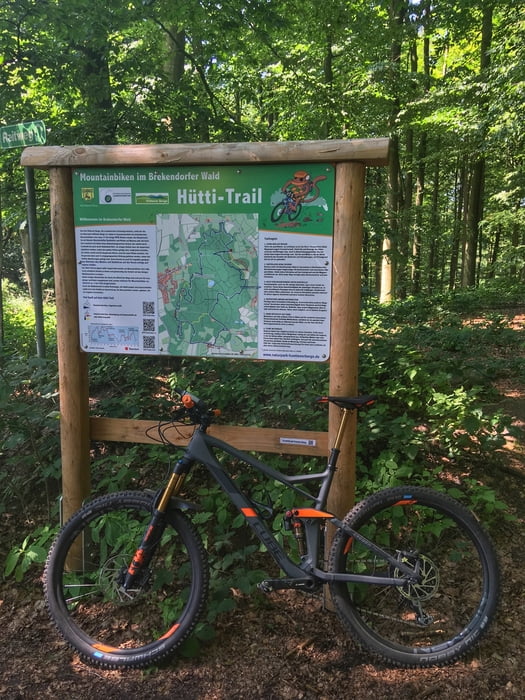
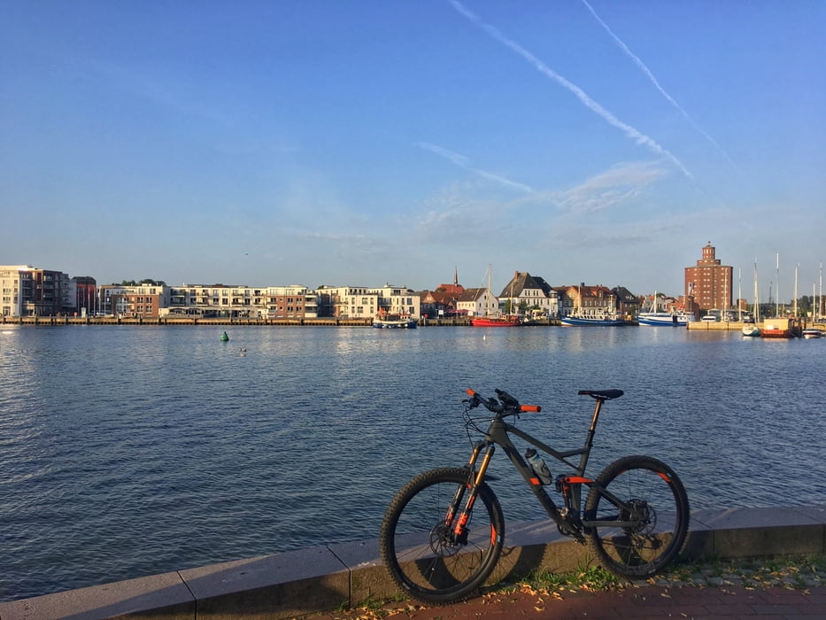
Campingplatz Hemmelmark - Eckernförde - Noorradweg - Kochendorf - Hummelfeld - Fellhorn - Krummland - Ascheffel - Heidberg - Kegelbahn - Heidberg - Allgäu - Schwarwald Schleifer - Scheelsberg - Tirolabfahrt - Wiesentrail - Fliegenberg - Aktivistenecke - Wellbornbogen - Scheelsbergflow - Rammsee - Sandbox - Förster Merten Trail - Gazastreifen - Jerusalem - Wildsauanstieg - Dörnröschen Trail - Onkel Jürgern Mauer - Rainer Abhang - Ralphhang - Gisbertrampe - Forsthausflow - Rammsee - Heidberg - Jägertrail - Silberberge - Aschberg - Ascheffel - Hütten - Osterby - Noortrail - Eckernförde - Hafen - Campingplatz Hemmelmark
Further information at
http://www.hegibiketours.de/Tour gallery
Tour map and elevation profile
Minimum height -2 m
Maximum height 118 m
More about the tour author
|
|
hegi |
Comments

Geparkt wurde auf dem Campingplatz Hemmelmark
GPS tracks
Trackpoints-
GPX / Garmin Map Source (gpx) download
-
TCX / Garmin Training Center® (tcx) download
-
CRS / Garmin Training Center® (crs) download
-
Google Earth (kml) download
-
G7ToWin (g7t) download
-
TTQV (trk) download
-
Overlay (ovl) download
-
Fugawi (txt) download
-
Kompass (DAV) Track (tk) download
-
Track data sheet (pdf) download
-
Original file of the author (gpx) download
More about the tour author
|
|
hegi |
Add to my favorites
Remove from my favorites
Edit tags
Open track
My score
Rate