Login

Forgot your login?

Cookies have to be accepted!
Your browser's cookie functionality is disabled. Please enable this functionality.

Not a member yet?

Register now
Login

Available for registred users only

Log in to use this feature.

Forgot your login?

Cookies have to be accepted!
Your browser's cookie functionality is disabled. Please enable this functionality.

Not a member yet?

Register now
Filter
Categories
Advanced filters
  • Distance (km)
  • Height
Save filters Reset filter

TrackRank

QRCode

Technical data

Distance19,2 km Height739 m Way down212 m Duration00:00 h:m Date08.08.2019
Scores Author Landscape Fun factor Fitness Technique

Statistics

238 Views Scores 5 Downloads Average
Rate
  • Track data sheet
  • Directions
  • Downloads
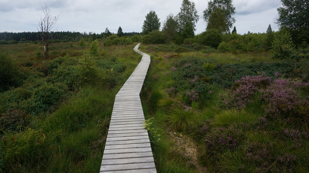
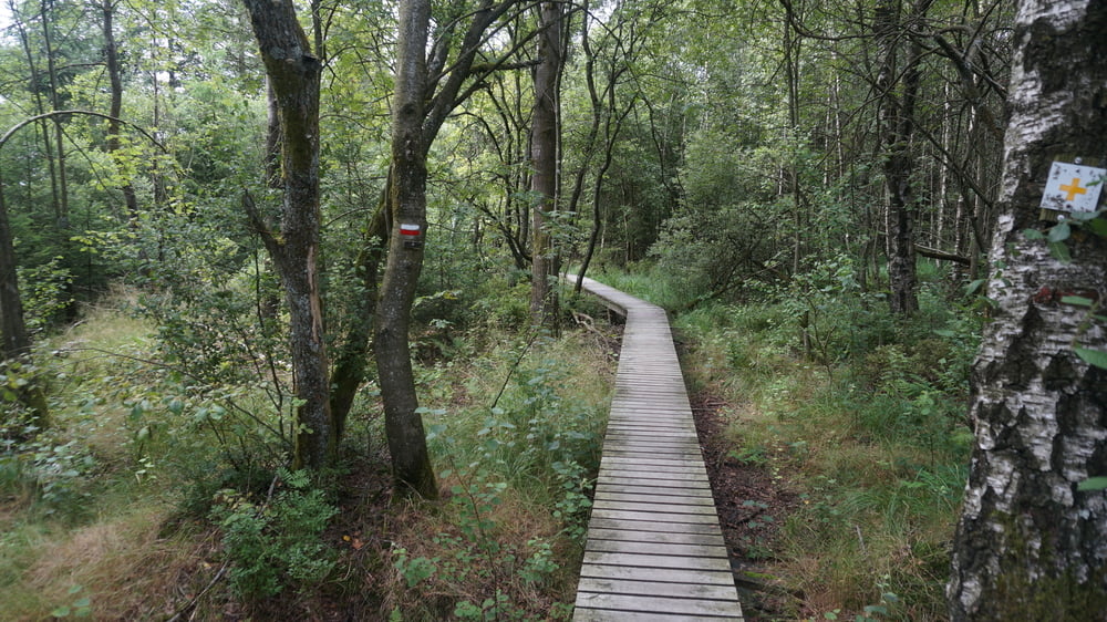
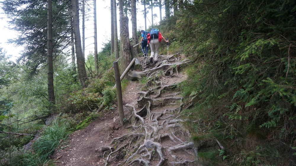
Wanderung führt überwiegend über den Europäischen Hauptwanderweg GR 56 (Mark.: weiß-rote Balken)

Further information at

https://www.sudowe.eu/index.php/renate-s-blog/berichte-2019/319-durchs-hohe-venn-von-malmedy-nach-baraque-michel

Tour gallery

Tour map and elevation profile

  • Open Street Map
  • Google
Minimum height 141 m Maximum height 811 m Detailed view

More about the tour author

Renatelev
Member since 2012

Send private message

Comments

Malmundarium, Place du Chatelet 10, Malmedy (B)

Übernachtung in Baraque Michel möglich, falls Wanderung bis Eupen am nächsten Tag fortgesetzt werden soll

GPS tracks

Trackpoints
  • GPX / Garmin Map Source (gpx) download
  • TCX / Garmin Training Center® (tcx) download
  • CRS / Garmin Training Center® (crs) download
  • Google Earth (kml) download
  • G7ToWin (g7t) download
  • TTQV (trk) download
  • Overlay (ovl) download
  • Fugawi (txt) download
  • Kompass (DAV) Track (tk) download
  • Track data sheet (pdf) download
  • Original file of the author (gpx) download

More about the tour author

Renatelev
Member since 2012

Send private message
Share track
Add to my favorites
Remove from my favorites
Edit tags
My score
Rate
Track: Durchs Hohe Venn von Malmedy nach Baraque Michel
Type: Hiking
Distance: 19,2 km
Evaluated on:
Duration:
Day(s)
Hour(s)
Minute(s)
Score: Landscape Fun factor Fitness Technique