


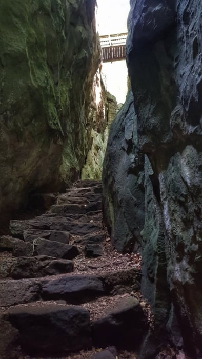
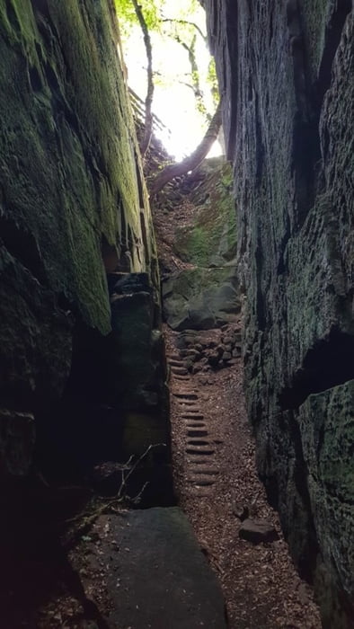
Heute mal eine Wanderung in der Luxemburgischen Schweiz. Start ist am Parkplatz der Consdorfer Mühle. Goldkaul, Goldfralay, Eulenburg sowie Schelmelay und Ramelay sind die Namen einiger Felsen, an denen diese Tour vorbei führt. Die eigentümlichen Namen gehen häufig auf Mythen und Sagen zurück. Durch die Verwitterungsprozesse sehen die Sandsteinfelsen teilweise wie skurrile Figuren oder Gesichter aus. Der Schiessentümpel ist ein malerischer Wasserfall an der Schwarzen Ernz. Das Wasser schießt in drei Strömen über eine Felskante in ein darunter liegendes Felsbassin, um dann seinen Verlauf in Richtung der Ortschaft Müllerthal fortzusetzen.
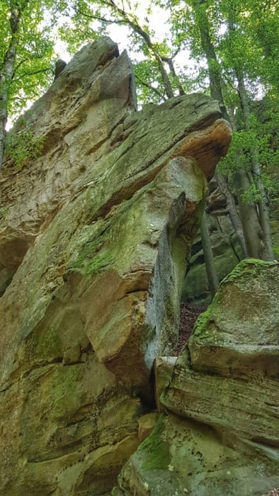
Verwitterungsprozesse haben an vielen Stellen waben- und rillenförmige Muster in die Felsen eingebracht, die sie zu individuellen Kunstwerken werden lassen. Die Tour ist anspruchsvoll, hat aber eine Menge OHHHHH-Erlebnisse.
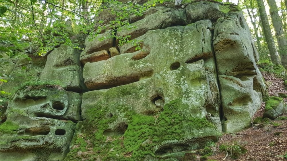
Verwitterungsprozesse haben an vielen Stellen waben- und rillenförmige Muster in die Felsen eingebracht, die sie zu individuellen Kunstwerken werden lassen. Die Tour ist anspruchsvoll, hat aber eine Menge OHHHHH-Erlebnisse.
Tour gallery
Tour map and elevation profile
Minimum height 231 m
Maximum height 354 m
More about the tour author
|
|
mh021255 |
Comments

More about the tour author
|
|
mh021255 |
Add to my favorites
Remove from my favorites
Edit tags
Open track
My score
Rate