Login

Forgot your login?

Cookies have to be accepted!
Your browser's cookie functionality is disabled. Please enable this functionality.

Not a member yet?

Register now
Login

Available for registred users only

Log in to use this feature.

Forgot your login?

Cookies have to be accepted!
Your browser's cookie functionality is disabled. Please enable this functionality.

Not a member yet?

Register now
Filter
Categories
Advanced filters
  • Distance (km)
  • Height
Save filters Reset filter

TrackRank

QRCode

Technical data

Distance40,5 km Height940 m Way down925 m Duration04:00 h:m Date07.10.2019
Scores Author Landscape Fun factor Fitness Technique

Statistics

152 Views Scores 47 Downloads Average
Rate
  • Track data sheet
  • Directions
  • Downloads

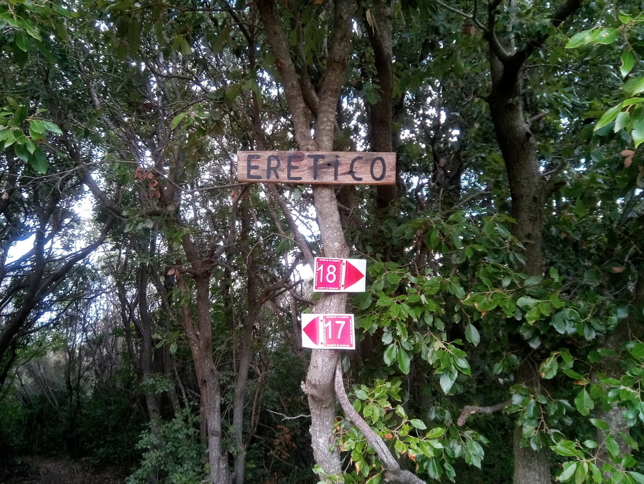
vom Camping Baia Verde Richtung Calaviolina. Auf dem 3er-Weg  bis vor ans Meer und kurz vor Puntone rechts den Berg hoch und zur Strasse, die von Puntone nach Punta Ala führt. Diese überqueren und auf schönem Trail weiter. Der Trail führt dann den Berg hinauf und nach einiger Zeit ist dann leider trotz EMTB schieben angesagt. Oben angekommen habe ich gemerkt, dass ich den Ereticotrail hinauf bin. Dann weiter zum Monte Muro. Leider bin ich statt links runter dann geradeaus. Obwohl das ein Wanderweg sein sollte, war es ein "Rockgarden" (S2-S3) von oben bis untern. Ist zwar alles fahrbar, aber Spass hatte ich nicht so richtig. Der Weg kommt dann unten beim Rock On-Trail raus und wir fahren links Richtung Forstweg nach Scarlino. Bei einer Schranke geht es dann links hoch und dann das untere Stück des Tre Dita-Trails wieder runter und zurück zum Camping.


Further information at

https://www.baiaverde.com/de/

Tour gallery

Tour map and elevation profile

  • Open Street Map
  • Google
Minimum height -25 m Maximum height 379 m Detailed view

More about the tour author

Fruehaufsteher
Member since 2008

Send private message

Comments

GPS tracks

Trackpoints
  • GPX / Garmin Map Source (gpx) download
  • TCX / Garmin Training Center® (tcx) download
  • CRS / Garmin Training Center® (crs) download
  • Google Earth (kml) download
  • G7ToWin (g7t) download
  • TTQV (trk) download
  • Overlay (ovl) download
  • Fugawi (txt) download
  • Kompass (DAV) Track (tk) download
  • Track data sheet (pdf) download
  • Original file of the author (gpx) download

More about the tour author

Fruehaufsteher
Member since 2008

Send private message
Share track
Add to my favorites
Remove from my favorites
Edit tags
My score
Rate
Track: Punta Ala-EMTB-Trailtour
Type: Mountain bike
Distance: 40,5 km
Evaluated on:
Duration:
Day(s)
Hour(s)
Minute(s)
Score: Landscape Fun factor Fitness Technique