


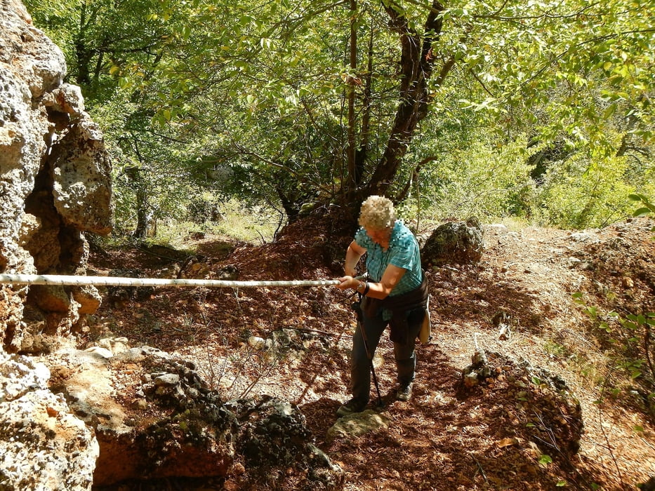
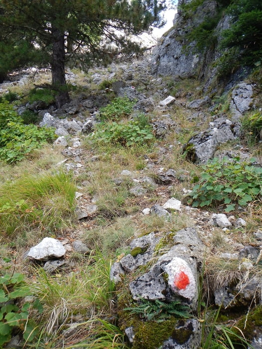
The trail starts 770m after the main square of Spilaio and climbs up to the summit of Orliakas. In some places very steep, at one point ropes are stretched, so you can pull yourself up.
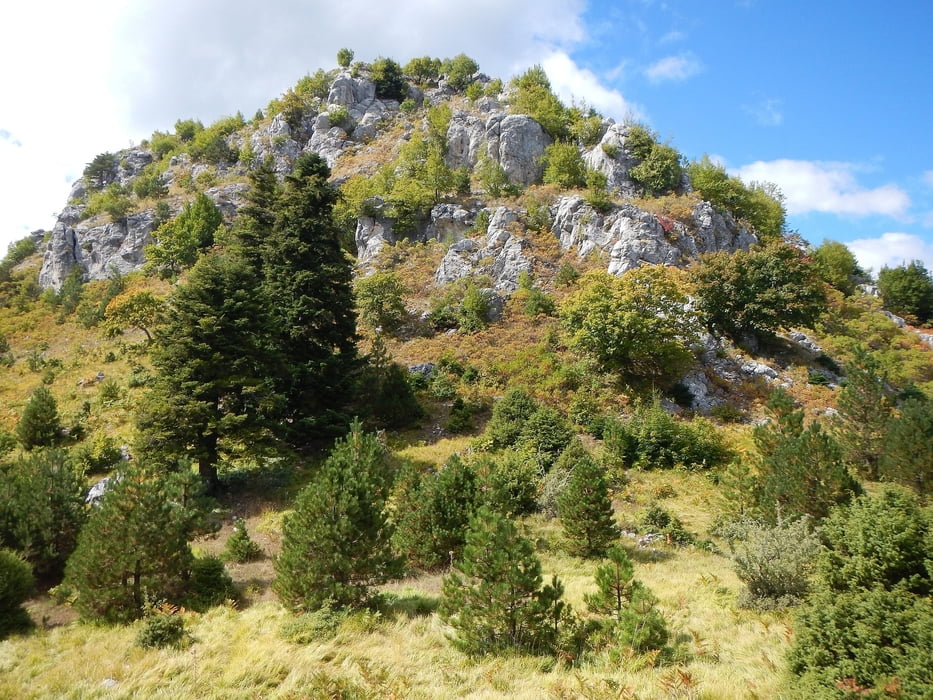
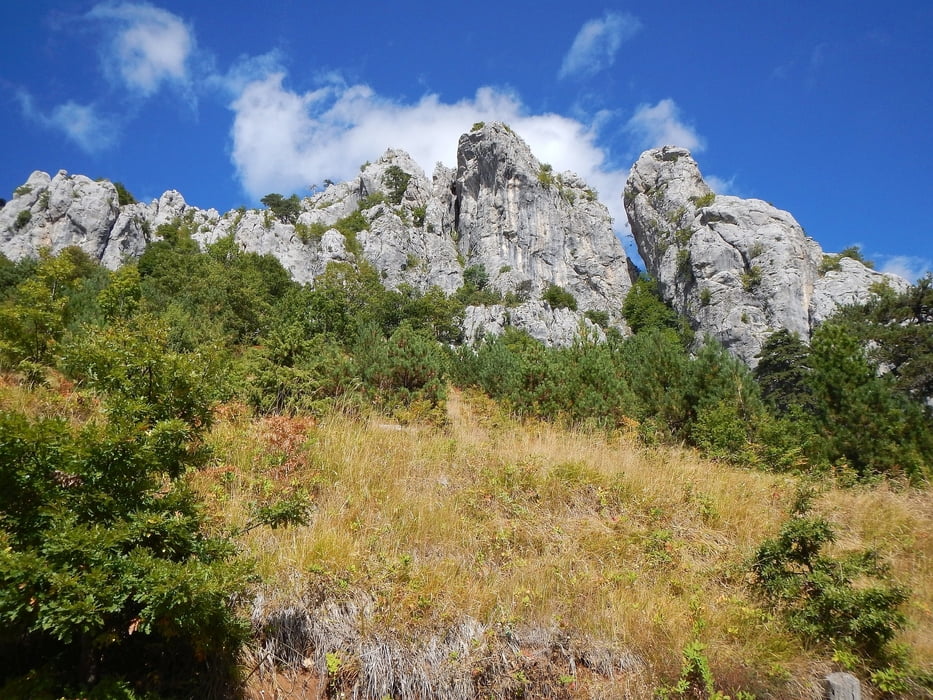
After the summit, it goes along the ridge, after a small pass down again.
The way back around the mountain takes place on a gravel road.
Der Weg beginnt 770m nach dem Hauptplatz von Spilaio, und geht bis zum Gipfel des Orliakas bergauf. An manchen Stellen sehr steil, an einer Stelle sind Seile gespannt, damit man sich hochziehen kann.
Nach dem Gipfel geht es am Kamm entlang, nach einem kleinen Pass wieder hinunter.
Der Rückweg um den Berg erfolgt auf einer Schotterstraße.
Tour gallery
Tour map and elevation profile
Minimum height 939 m
Maximum height 1440 m
More about the tour author

|
Mapdekode |
Comments

At the entrance of Spilaio is a large parking lot, but you can also drive through the village (towards Portitsa bridge) and park at the wayside.
Am Ortseingang von Spilaio ist ein großer Parkplatz, man kann aber auch durch den Ort fahren (Richtung Portitsa Brücke) und am Wegrand parken.
GPS tracks
Trackpoints-
GPX / Garmin Map Source (gpx) download
-
TCX / Garmin Training Center® (tcx) download
-
CRS / Garmin Training Center® (crs) download
-
Google Earth (kml) download
-
G7ToWin (g7t) download
-
TTQV (trk) download
-
Overlay (ovl) download
-
Fugawi (txt) download
-
Kompass (DAV) Track (tk) download
-
Track data sheet (pdf) download
-
Original file of the author (gpx) download
More about the tour author
|
|
Mapdekode |
Add to my favorites
Remove from my favorites
Edit tags
Open track
My score
Rate