
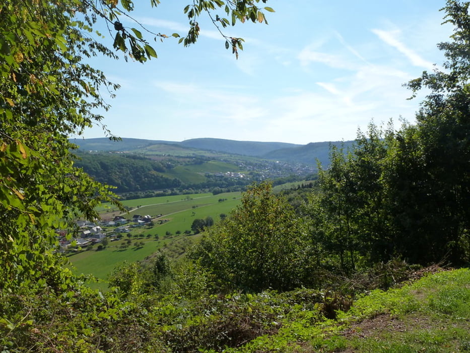

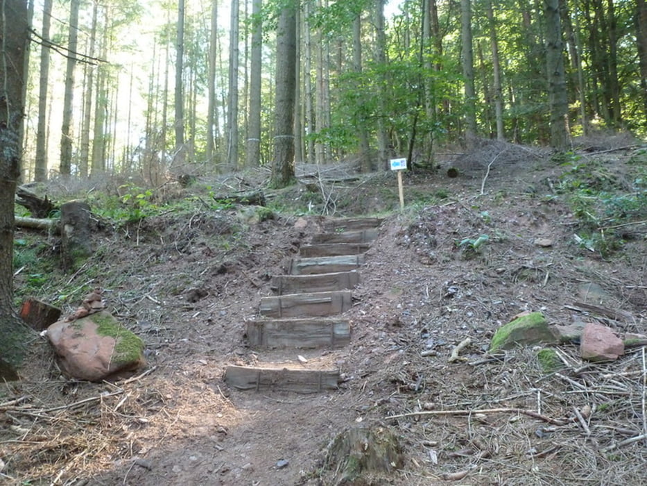
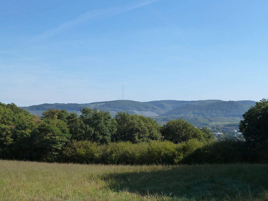
Nun hat auch Trassem, in der Nähe von Saarburg, einen Premiumwanderweg! Die Traumschleife „Saar-Leuktal-Panorama“ wurde im August 2018 der Öffentlichkeit vorgestellt, die offizielle Eröffnung war dann im Frühjahr 2019.
Further information at
https://wanderwege-trier.de/2018/09/30/traumschleife-saar-leuktal-panorama/#more-4650Tour gallery
Tour map and elevation profile
Minimum height 177 m
Maximum height 355 m
More about the tour author

|
K_arin |
Comments

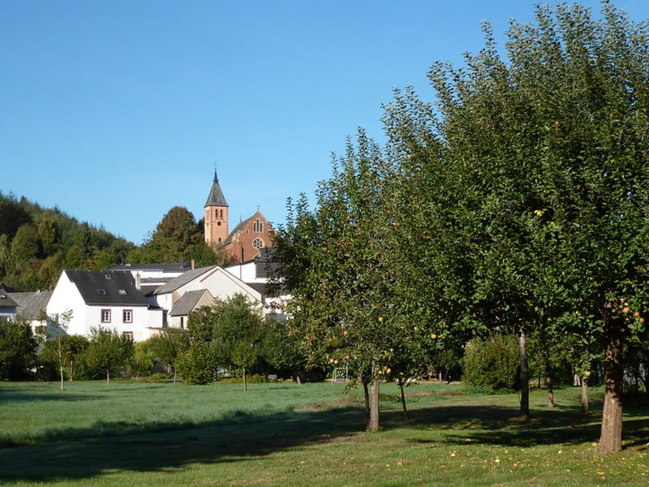
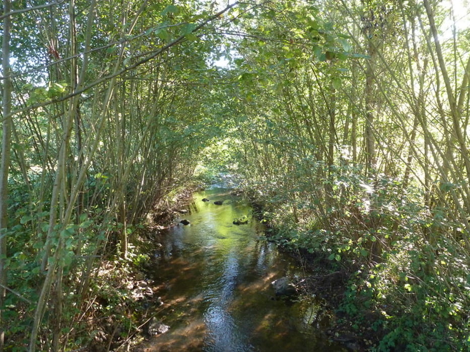
Auf der B51 fahre ich also Richtung Saarburg und biege kurz hinter Saarburg nach rechts Richtung Trassem ab. Dann folge ich der Landstraße durch Trassem hindurch auf der L131 bis zum Ortsende. Kurz vor dem Ortsausgangsschild biege ich nach links ab (zu einem Hotelparkplatz) und dann direkt wieder links – der kleine Parkplatz an der Leuk liegt am Ende einer kurzen Schotterstraße.
GPS tracks
Trackpoints-
GPX / Garmin Map Source (gpx) download
-
TCX / Garmin Training Center® (tcx) download
-
CRS / Garmin Training Center® (crs) download
-
Google Earth (kml) download
-
G7ToWin (g7t) download
-
TTQV (trk) download
-
Overlay (ovl) download
-
Fugawi (txt) download
-
Kompass (DAV) Track (tk) download
-
Track data sheet (pdf) download
-
Original file of the author (gpx) download
More about the tour author
|
|
K_arin |
Add to my favorites
Remove from my favorites
Edit tags
Open track
My score
Rate