
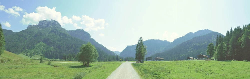

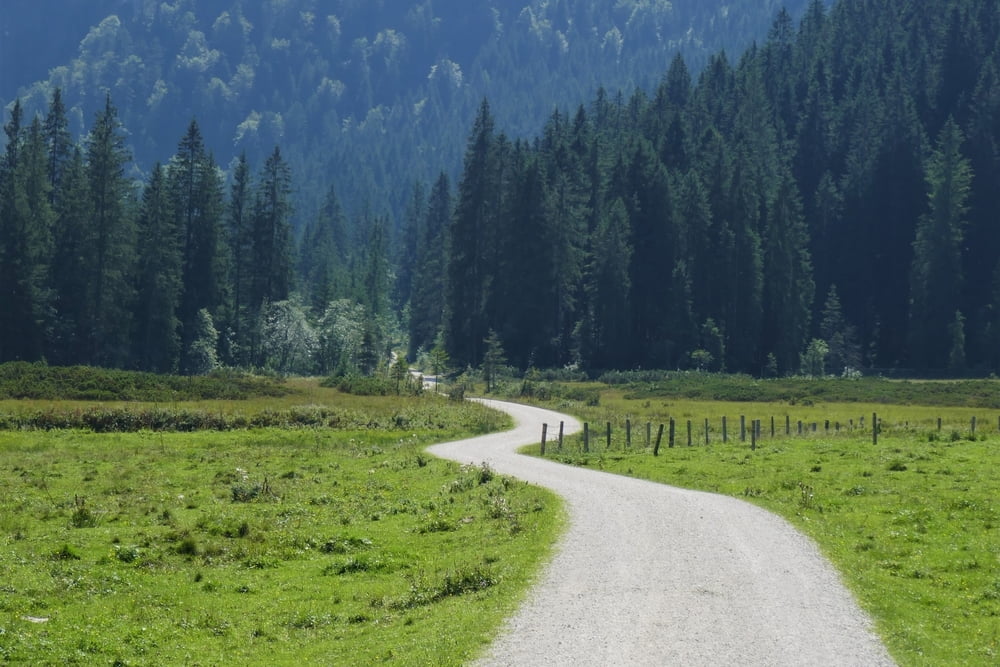
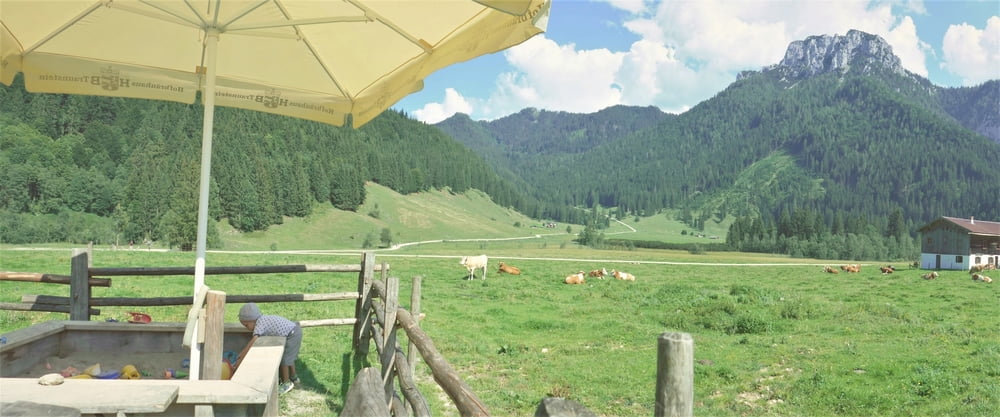
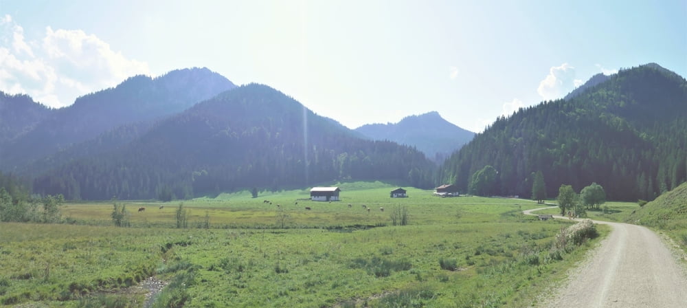
Diese Tour war, wie der Hochfelln, ein Tipp unseres Vermieters. Die Röthelmoosalm selbst ist ein durchaus lohnenswertes Wanderziel - über der weit gefächerten, imposanten Ebene thronen mehrere Berggipfel. Und die Langerbauer Alm (500 m weiter östlich noch die Dandlalm) bietet einen herrlichen Ausblick und einen kleinen Sandkasten. Ein kleines Manko ist aber, dass Hin- und Rückweg zur Alm nicht so wahnsinnig interessant sind. Man könnte allerdings übers Wappbachtal zum Weitsee hinabsteigen (in südlicher Verlängerung unseres Abstechers, ca. 2 km) und unten am See den Bus nehmen. Eine Haltestelle in Richtung Reit im Winkl befindet sich direkt am Austrittspunkt aus dem Wald (an der Uferstraße), eine zweite in Richtung Ruhpolding ca. 900 m weiter östlich am Seeende.
Tour gallery
Tour map and elevation profile
Minimum height 729 m
Maximum height 983 m
More about the tour author
|
|
mackator |
Comments

Parkplatz Maria Schnee
GPS tracks
Trackpoints-
GPX / Garmin Map Source (gpx) download
-
TCX / Garmin Training Center® (tcx) download
-
CRS / Garmin Training Center® (crs) download
-
Google Earth (kml) download
-
G7ToWin (g7t) download
-
TTQV (trk) download
-
Overlay (ovl) download
-
Fugawi (txt) download
-
Kompass (DAV) Track (tk) download
-
Track data sheet (pdf) download
-
Original file of the author (gpx) download
More about the tour author
|
|
mackator |
Add to my favorites
Remove from my favorites
Edit tags
Open track
My score
Rate